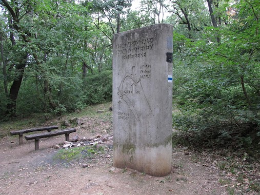
Park nearby Nyakas-kő
Hungary
Park nearby Nyakas-kő
Nyakas-kő
Biatorbágy, 2051 Ungarn
contacts phone
:
+36
website:
kirandulababa.hu
Latitude:
47.4500989
, Longitude:
18.829751
larger map & directions
read more
nearest Park
537 m
Biai vadaszhaz
Biatorbágy
Park
read more
1.749 km
Kolozsvári utcai sportpálya
Biatorbágy
Park
read more
2.722 km
Biatorbágy Green Heart
Biatorbágy, Fő utca
Park
read more
2.74 km
Fő tér
Biatorbágy
Park
read more
3.15 km
GIMEK ZRT
Biatorbágy, Rozália park 11
Park
read more
3.303 km
SuperSize Recording Studio
Törökbálint, Ráczug tanya
Park
read more
3.481 km
Almáskert | DomaFarm
Törökbálint, 47.458722, 18.874284
Park
read more
3.481 km
Almáskert | Doma Farm
Törökbálint, 47.458722, 18.874284
Park
read more
3.497 km
Feszület-park
Biatorbágy
Park
read more
6.782 km
Zeiss Ferenc
Törökbálint
Park
read more
8.63 km
Sándor Móric tér
Herceghalom, Sándor Móric tér
Park
read more
8.922 km
Budakeszi Arborétum
Budapest, Erzsébet puszta
Park
read more
9.464 km
Piktortégla park
Budaörs
Park
read more
9.967 km
Budakeszi focipálya
Budakeszi
Park
read more
10.64 km
Fő utcai park
Budakeszi, Fő utca
Park
read more
10.813 km
Normafa Kutyaiskola és Életmód Központ
Budapest, Konkoly-Thege Miklós út 27
Park
read more
12.228 km
Tétényi-fennsík tanösvény
Budapest, Tétényi Tanösvény
Park
read more
12.943 km
Olimpia-park
Budapest
Park
read more
13.526 km
vörös réteg
Érd
Park
read more
13.604 km
Cankó tér
XXII. kerület
Park
read more
13.683 km
Brasov Komondor park and nature trail
Budapest, Brassó út 80a
Park
read more
15.104 km
Nyugdíjasok Kertje
Budapest, Fraknó utca 22
Park
read more
15.676 km
Mátyás király vadaskertje
Budapest, Glück Frigyes út
Park
read more
16.282 km
Bibó parki kutyafuttató
Budapest, Bimbó út 35
Park
read more
16.63 km
Vérhalom téri park és játszótér
Budapest, Vérhalom tér
Park
read more
📑
all categories
Accounting
Administrative area level 1
Administrative area level 2
Airport
Amusement park
Aquarium
Art gallery
Atm
Bakery
Bank
Bar
Beauty salon
Bicycle store
Book store
Bowling alley
Bus station
Cafe
Campground
Car dealer
Car rental
Car repair
Car wash
Casino
Cemetery
Church
City hall
Clothing store
Colloquial area
Convenience store
Country
Courthouse
Dentist
Department store
Doctor
Electrician
Electronics store
Embassy
Finance
Fire station
Florist
Food
Funeral home
Furniture store
Gas station
General contractor
Grocery or supermarket
Gym
Hair care
Hardware store
Health
Hindu Temple
Home goods store
Hospital
Insurance agency
Intersection
Jewelry store
Laundry
Lawyer
Library
Light rail station
Liquor store
Local government office
Locality
Locksmith
Lodging
Meal delivery
Meal takeaway
Mosque
Movie rental
Movie theater
Moving company
Museum
Natural feature
Neighborhood
Night club
Painter
Park
Parking
Pet store
Pharmacy
Physiotherapist
Place of worship
Plumber
Point of interest
Police
Political
Post office
Premise
Real estate agency
Restaurant
Roofing contractor
Route
Rv park, camping
School
Shoe store
Shopping mall
Spa
Stadium
Storage
Store
Subpremise
Subway station
Supermarket
Synagogue
Taxi stand
Train station
Transit station
Travel agency
University
Veterinary care
Zoo
administrative area level 3
sublocality level 1
↑