Park nearby Feszület-park
Hungary
Park nearby Feszület-park
Feszület-park
Biatorbágy Hungary
contacts phone
:
+36
Latitude:
47.4738865
, Longitude:
18.8601877
read more
nearest Park
1.002 km
GIMEK ZRT
Biatorbágy, Rozália park 11
Park
read more
1.984 km
SuperSize Recording Studio
Törökbálint, Ráczug tanya
Park
read more
1.991 km
Almáskert | Doma Farm
Törökbálint, 47.458722, 18.874284
Park
read more
1.991 km
Almáskert | DomaFarm
Törökbálint, 47.458722, 18.874284
Park
read more
2.311 km
Biatorbágy Green Heart
Biatorbágy, Fő utca
Park
read more
2.772 km
Fő tér
Biatorbágy
Park
read more
3.134 km
Kolozsvári utcai sportpálya
Biatorbágy
Park
read more
3.183 km
Buda Park
Budaörs, Keleti utca 1
Park
read more
3.497 km
Nyakas-kő
Biatorbágy
Park
read more
3.499 km
Fenyves
Páty, Fenyves utca 1
Park
read more
3.503 km
Biai vadaszhaz
Biatorbágy
Park
read more
4.035 km
Kaptárkő-park
Budakeszi
Park
read more
4.172 km
NIPÜF
Páty, 2071, Csonka J. u
Park
read more
5.205 km
Eisler Mátyás Emlékpark
Páty, 1026.hrsz,, liget utca
Park
read more
5.884 km
Budakeszi, Mamutfenyők
Budakeszi
Park
read more
5.884 km
Budakeszi, Mammoth Pines
Budakeszi
Park
read more
5.892 km
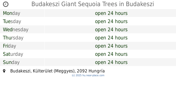
Budakeszi Giant Sequoia Trees
Budakeszi, Külterület (Meggyes)
Park
read more
5.892 km
Budakeszi mamutfenyők
Budakeszi, Külterület (Meggyes)
Park
read more
5.892 km
Budakeszi mamutfenyők
Hungary
Park
read more
5.924 km
Kegyeleti Park - Valla kripta
Törökbálint, Temető köz 7-8
Park
read more
6.04 km
Öntbolt.hu Kft. Budakeszi - Öntözőrendszer Szaküzlet
Budakeszi, Fő utca 264
Park
read more
6.114 km
Zeiss Ferenc
Törökbálint
Park
read more
6.475 km
Budakeszi focipálya
Budakeszi
Park
read more
6.902 km
Kerekmező tér
Budakeszi
Park
read more
14.378 km
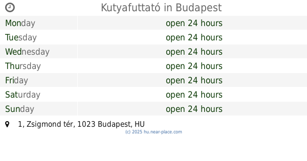
Kutyafuttató
Budapest, Zsigmond tér 1
Park
read more
📑
all categories
Accounting
Administrative area level 1
Administrative area level 2
Airport
Amusement park
Aquarium
Art gallery
Atm
Bakery
Bank
Bar
Beauty salon
Bicycle store
Book store
Bowling alley
Bus station
Cafe
Campground
Car dealer
Car rental
Car repair
Car wash
Casino
Cemetery
Church
City hall
Clothing store
Colloquial area
Convenience store
Country
Courthouse
Dentist
Department store
Doctor
Electrician
Electronics store
Embassy
Finance
Fire station
Florist
Food
Funeral home
Furniture store
Gas station
General contractor
Grocery or supermarket
Gym
Hair care
Hardware store
Health
Hindu Temple
Home goods store
Hospital
Insurance agency
Intersection
Jewelry store
Laundry
Lawyer
Library
Light rail station
Liquor store
Local government office
Locality
Locksmith
Lodging
Meal delivery
Meal takeaway
Mosque
Movie rental
Movie theater
Moving company
Museum
Natural feature
Neighborhood
Night club
Painter
Park
Parking
Pet store
Pharmacy
Physiotherapist
Place of worship
Plumber
Point of interest
Police
Political
Post office
Premise
Real estate agency
Restaurant
Roofing contractor
Route
Rv park, camping
School
Shoe store
Shopping mall
Spa
Stadium
Storage
Store
Subpremise
Subway station
Supermarket
Synagogue
Taxi stand
Train station
Transit station
Travel agency
University
Veterinary care
Zoo
administrative area level 3
sublocality level 1
↑