Gas station nearby K + K gas station
Hungary
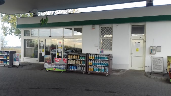
Gas station nearby K + K gas station
K + K gas station
Inárcs, Széchenyi István út 14 Hungary
contacts phone
:
+36
Latitude:
47.2531921
, Longitude:
19.3268824
read more
nearest Gas station
K+K benzinkút
Inárcs, Széchenyi István út 14
Gas station
read more
12 m
Magán - Inárcs
Inárcs, Széchenyi István út 14
Gas station
read more
2.275 km
OMV
Iinárcs, M5 autópálya 82. kmsz. bal
Gas station
read more
2.28 km
OMV
Inárcs, Inárcsi pihenőhely
Gas station
read more
2.555 km
OMV
Inárcs, M5
Gas station
read more
6.605 km
Trikkal-Benz Kft.
Újhartyán, Pilisi utca 42
Gas station
read more
6.702 km
Shell
Felsőlajos, Pesti utca 2360/1
Gas station
read more
6.707 km
Shell
Dabas, Pesti út 2360/1
Gas station
read more
7.999 km
Magán - Dabas
Dabas, Szent István út 60
Gas station
read more
8.064 km
Töltőállomás
Dabas, Szent István út 62
Gas station
read more
8.427 km
OIL!
Ócsa, 2364, Kiss János utca 4
Gas station
read more
11.218 km
Magán - Hernád
Hernád, Köztársaság út 45
Gas station
read more
12.364 km
OMV Töltőállomás
Alsónémedi, 5.sz.főút 2553 hrsz.
Gas station
read more
12.364 km
OMV
Alsónémedi, 5.sz.főút 2553 hrsz.
Gas station
read more
13.409 km
MOL Benzinkút
Monor, 4.sz. fkl. út (Katalin Csárda)
Gas station
read more
13.996 km
Benzinkút
Bugyi, Kossuth Lajos utca 86
Gas station
read more
14.353 km
OMV
Üllő, Pesti út 1
Gas station
read more
14.491 km
UDI wash Autómosó
Monor, Péteri utca
Gas station
read more
14.894 km
MOL benzinkút
Vecsés, 90471
Gas station
read more
14.991 km
MOL Benzinkút
Vecsés, M0 II. (bal)
Gas station
read more
15.09 km
M. Petrol
Gyál, M5 Gyál-Alsónémedi lehajtó, 4602
Gas station
read more
16.011 km
MOL
Gyál, Kőrösi út 19
Gas station
read more
20.369 km
MOL Benzinkút
Budapest, Ócsai út 22
Gas station
read more
20.376 km
MOL
Budapest, Ócsai út
Gas station
read more
20.376 km
MOL Benzinkút
Budapest, Ócsai út
Gas station
read more
📑
all categories
Accounting
Administrative area level 1
Administrative area level 2
Airport
Amusement park
Aquarium
Art gallery
Atm
Bakery
Bank
Bar
Beauty salon
Bicycle store
Book store
Bowling alley
Bus station
Cafe
Campground
Car dealer
Car rental
Car repair
Car wash
Casino
Cemetery
Church
City hall
Clothing store
Colloquial area
Convenience store
Country
Courthouse
Dentist
Department store
Doctor
Electrician
Electronics store
Embassy
Finance
Fire station
Florist
Food
Funeral home
Furniture store
Gas station
General contractor
Grocery or supermarket
Gym
Hair care
Hardware store
Health
Hindu Temple
Home goods store
Hospital
Insurance agency
Intersection
Jewelry store
Laundry
Lawyer
Library
Light rail station
Liquor store
Local government office
Locality
Locksmith
Lodging
Meal delivery
Meal takeaway
Mosque
Movie rental
Movie theater
Moving company
Museum
Natural feature
Neighborhood
Night club
Painter
Park
Parking
Pet store
Pharmacy
Physiotherapist
Place of worship
Plumber
Point of interest
Police
Political
Post office
Premise
Real estate agency
Restaurant
Roofing contractor
Route
Rv park, camping
School
Shoe store
Shopping mall
Spa
Stadium
Storage
Store
Subpremise
Subway station
Supermarket
Synagogue
Taxi stand
Train station
Transit station
Travel agency
University
Veterinary care
Zoo
administrative area level 3
sublocality level 1
↑