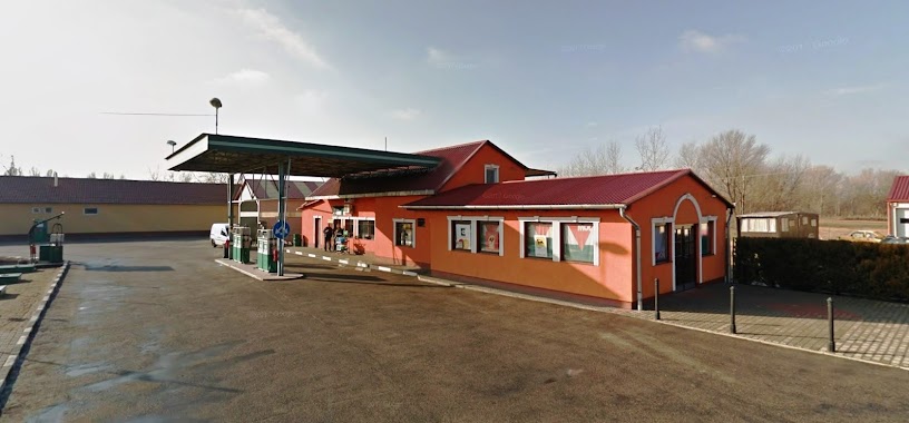
Gas station nearby Töltőállomás
Hungary
Gas station nearby Töltőállomás
Töltőállomás
Dabas, Szent István út 62 Hungary
contacts phone
:
+36
Latitude:
47.1811845
, Longitude:
19.314112
read more
nearest Gas station
78 m
Magán - Dabas
Dabas, Szent István út 60
Gas station
read more
1.593 km
MOL Benzinkút
Dabas, 50.sz.fkl. út
Gas station
read more
1.722 km
Shell
Dabas, Pesti út 2360/1
Gas station
read more
1.728 km
Shell
Felsőlajos, Pesti utca 2360/1
Gas station
read more
7.513 km
OUT Benzinkút Bt - WhiteWheel Autó és Gumiszerelő Kft
Hernád, Köztársaság út 45
Gas station
read more
7.516 km
Magán - Hernád
Hernád, Köztársaság út 45
Gas station
read more
7.516 km
Benzinkút
Hernád, Köztársaság út 47
Gas station
read more
7.672 km
Magán - Újhartyán
Újhartyán, Dragon Benz töltőállomás, hrsz. 060/131.
Gas station
read more
7.681 km
Fuel-Benz Ltd.
Újhartyán
Gas station
read more
7.994 km
Trikkal-Benz Kft.
Újhartyán, Pilisi utca 42
Gas station
read more
8.064 km
K + K gas station
Inárcs, Széchenyi István út 14
Gas station
read more
8.064 km
K+K benzinkút
Inárcs, Széchenyi István út 14
Gas station
read more
8.076 km
Magán - Inárcs
Inárcs, Széchenyi István út 14
Gas station
read more
10.339 km
OMV
Iinárcs, M5 autópálya 82. kmsz. bal
Gas station
read more
10.344 km
OMV
Inárcs, Inárcsi pihenőhely
Gas station
read more
10.571 km
OMV
Inárcs, M5
Gas station
read more
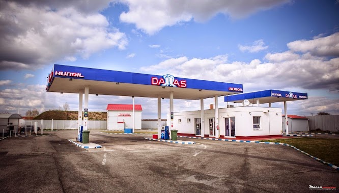
11.45 km
Dallas Benzinkút
Örkény, 2501 HRF
Gas station
read more
13.746 km
OIL!
Ócsa, 2364, Kiss János utca 4
Gas station
read more
13.902 km
Benzinkút
Bugyi, Kossuth Lajos utca 86
Gas station
read more
14.129 km
Magán - Ócsa
Ócsa, Üllői utca 41
Gas station
read more
15.047 km
Oil!
Táborfalva, Kecskeméti út 4
Gas station
read more
15.06 km
Agip
Táborfalva
Gas station
read more
16.845 km
OMV Töltőállomás
Alsónémedi, 5.sz.főút 2553 hrsz.
Gas station
read more
16.845 km
OMV
Alsónémedi, 5.sz.főút 2553 hrsz.
Gas station
read more
17.261 km
Joga Üzemanyag Értékesítő Kft.
Alsónémedi, Ócsai út 1
Gas station
read more
📑
all categories
Accounting
Administrative area level 1
Administrative area level 2
Airport
Amusement park
Aquarium
Art gallery
Atm
Bakery
Bank
Bar
Beauty salon
Bicycle store
Book store
Bowling alley
Bus station
Cafe
Campground
Car dealer
Car rental
Car repair
Car wash
Casino
Cemetery
Church
City hall
Clothing store
Colloquial area
Convenience store
Country
Courthouse
Dentist
Department store
Doctor
Electrician
Electronics store
Embassy
Finance
Fire station
Florist
Food
Funeral home
Furniture store
Gas station
General contractor
Grocery or supermarket
Gym
Hair care
Hardware store
Health
Hindu Temple
Home goods store
Hospital
Insurance agency
Intersection
Jewelry store
Laundry
Lawyer
Library
Light rail station
Liquor store
Local government office
Locality
Locksmith
Lodging
Meal delivery
Meal takeaway
Mosque
Movie rental
Movie theater
Moving company
Museum
Natural feature
Neighborhood
Night club
Painter
Park
Parking
Pet store
Pharmacy
Physiotherapist
Place of worship
Plumber
Point of interest
Police
Political
Post office
Premise
Real estate agency
Restaurant
Roofing contractor
Route
Rv park, camping
School
Shoe store
Shopping mall
Spa
Stadium
Storage
Store
Subpremise
Subway station
Supermarket
Synagogue
Taxi stand
Train station
Transit station
Travel agency
University
Veterinary care
Zoo
administrative area level 3
sublocality level 1
↑