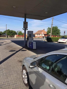
Gas station nearby Érd Takarmánybolt
Hungary
Gas station nearby Érd Takarmánybolt
Érd Takarmánybolt
Érd, Zámori út Hungary
contacts phone
:
+36
Latitude:
47.371588
, Longitude:
18.8815897
read more
nearest Gas station
162 m
NK Benzinkút
Érd, Zámori út 4
Gas station
read more
693 m
Castrol gas station
Érd, Szajkó utca 3
Gas station
read more
2.102 km
AVIA
Érd, Kossuth Lajos utca 82
Gas station
read more
2.106 km
Benzinkút
Érd, Szent László tér
Gas station
read more
2.366 km
MOL Benzinkút
Érd, Ercsi út hrsz. 26297/2
Gas station
read more
2.366 km
MOL Gas station
Érd, Ercsi út hrsz. 26297/2
Gas station
read more
2.496 km
OMV Töltőállomás
Érd, 6. sz. főút jobb
Gas station
read more
2.619 km
OMV Töltőállomás
Érd, 6. sz. főút bal
Gas station
read more
3.676 km
OIL!
Sóskút, Ipari park
Gas station
read more
3.848 km
MOL Benzinkút
Érd, Budai út II.
Gas station
read more
3.856 km
Mol
Érd, Budai út I.
Gas station
read more
3.856 km
MOL Benzinkút
Érd, Budai út I.
Gas station
read more
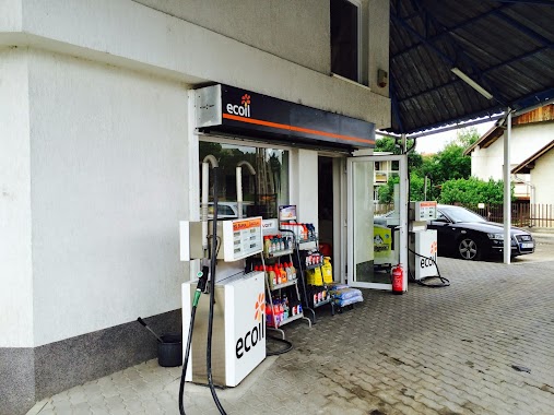
3.99 km
Ecoil Hungary Kft.
Érd, Harangvirág utca 1
Gas station
read more
3.99 km
Magán - Érd
Érd, Harangvirág utca 1
Gas station
read more
4.043 km
Mobil Petrol
Érd
Gas station
read more
4.045 km
M. Petrol Érd
Érd
Gas station
read more
4.192 km
Shell
Érd, Budafoki út 2-4
Gas station
read more
4.407 km
Lukoil
Érd, Budafoki út 5
Gas station
read more
4.589 km
Magán - Diósd
Diósd, Balatoni út 19
Gas station
read more
4.591 km
Benzinkút
Érd
Gas station
read more
4.984 km
Shell
Érd, Iparos utca 42
Gas station
read more
5.605 km
MOL Benzinkút
Diósd, Balatoni út 11
Gas station
read more
5.832 km
Mobil-Gáz - Diósd
Diósd, Balatoni út
Gas station
read more
5.953 km
Lukoil Despar
Diósd, Balatoni út 11
Gas station
read more
5.953 km
Lukoil
Diósd, Balatoni út 11
Gas station
read more
📑
all categories
Accounting
Administrative area level 1
Administrative area level 2
Airport
Amusement park
Aquarium
Art gallery
Atm
Bakery
Bank
Bar
Beauty salon
Bicycle store
Book store
Bowling alley
Bus station
Cafe
Campground
Car dealer
Car rental
Car repair
Car wash
Casino
Cemetery
Church
City hall
Clothing store
Colloquial area
Convenience store
Country
Courthouse
Dentist
Department store
Doctor
Electrician
Electronics store
Embassy
Finance
Fire station
Florist
Food
Funeral home
Furniture store
Gas station
General contractor
Grocery or supermarket
Gym
Hair care
Hardware store
Health
Hindu Temple
Home goods store
Hospital
Insurance agency
Intersection
Jewelry store
Laundry
Lawyer
Library
Light rail station
Liquor store
Local government office
Locality
Locksmith
Lodging
Meal delivery
Meal takeaway
Mosque
Movie rental
Movie theater
Moving company
Museum
Natural feature
Neighborhood
Night club
Painter
Park
Parking
Pet store
Pharmacy
Physiotherapist
Place of worship
Plumber
Point of interest
Police
Political
Post office
Premise
Real estate agency
Restaurant
Roofing contractor
Route
Rv park, camping
School
Shoe store
Shopping mall
Spa
Stadium
Storage
Store
Subpremise
Subway station
Supermarket
Synagogue
Taxi stand
Train station
Transit station
Travel agency
University
Veterinary care
Zoo
administrative area level 3
sublocality level 1
↑