Gas station nearby Mobil-Gáz - Diósd
Hungary
Gas station nearby Mobil-Gáz - Diósd
Mobil-Gáz - Diósd
Balatoni út, 2049, Diósd, HU Magyarország
contacts phone
:
+36
Latitude:
47.4025957
, Longitude:
18.9440829
larger map & directions
read more
nearest Gas station
136 m
Lukoil Despar
Diósd, Balatoni út 11
Gas station
read more
136 m
Lukoil
Diósd, Balatoni út 11
Gas station
read more
244 m
MOL Benzinkút
Diósd, Balatoni út 11
Gas station
read more
1.388 km
MOL
Diósd, Balatoni út 11
Gas station
read more
1.396 km
MOL Gas station
Diósd, Tétényi u. 2. (hrsz 3666/1)
Gas station
read more
1.396 km
MOL Benzinkút
Diósd, Tétényi u. 2. (hrsz 3666/1)
Gas station
read more
1.549 km
Benzinkút
Érd
Gas station
read more
1.551 km
Magán - Diósd
Diósd, Balatoni út 19
Gas station
read more
1.854 km
Magán
Budapest, Bányalég utca 108
Gas station
read more
1.895 km
Magán - Érd
Érd, Harangvirág utca 1
Gas station
read more
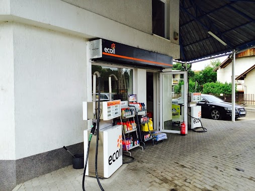
1.895 km
Ecoil Hungary Kft.
Érd, Harangvirág utca 1
Gas station
read more
2.565 km
MOL Gas station
Törökbálint, M0 Annahegyi pihenõ
Gas station
read more
2.565 km
MOL Benzinkút
Törökbálint, M0 Annahegyi pihenõ
Gas station
read more
2.64 km
OMV Töltőállomás
M0 körgyűrű 6 km, M0
Gas station
read more
2.64 km
OMV
M0 körgyűrű 6 km, M0
Gas station
read more
2.658 km
Lukoil
Érd, Budafoki út 5
Gas station
read more
2.781 km
Mobil Petrol
Érd
Gas station
read more
2.792 km
M. Petrol Érd
Érd
Gas station
read more
2.798 km
MOL Benzinkút
Érd, Budai út I.
Gas station
read more
2.798 km
Mol
Érd, Budai út I.
Gas station
read more
2.837 km
MOL Benzinkút
Érd, Budai út II.
Gas station
read more
2.858 km
Shell
Érd, Budafoki út 2-4
Gas station
read more
3.732 km
Benzinkút
Érd, Szent László tér
Gas station
read more
3.736 km
AVIA
Érd, Kossuth Lajos utca 82
Gas station
read more
5.572 km
Diesel Kut
Budapest, Repülőtéri út 6
Gas station
read more
📑
all categories
Accounting
Administrative area level 1
Administrative area level 2
Airport
Amusement park
Aquarium
Art gallery
Atm
Bakery
Bank
Bar
Beauty salon
Bicycle store
Book store
Bowling alley
Bus station
Cafe
Campground
Car dealer
Car rental
Car repair
Car wash
Casino
Cemetery
Church
City hall
Clothing store
Colloquial area
Convenience store
Country
Courthouse
Dentist
Department store
Doctor
Electrician
Electronics store
Embassy
Finance
Fire station
Florist
Food
Funeral home
Furniture store
Gas station
General contractor
Grocery or supermarket
Gym
Hair care
Hardware store
Health
Hindu Temple
Home goods store
Hospital
Insurance agency
Intersection
Jewelry store
Laundry
Lawyer
Library
Light rail station
Liquor store
Local government office
Locality
Locksmith
Lodging
Meal delivery
Meal takeaway
Mosque
Movie rental
Movie theater
Moving company
Museum
Natural feature
Neighborhood
Night club
Painter
Park
Parking
Pet store
Pharmacy
Physiotherapist
Place of worship
Plumber
Point of interest
Police
Political
Post office
Premise
Real estate agency
Restaurant
Roofing contractor
Route
Rv park, camping
School
Shoe store
Shopping mall
Spa
Stadium
Storage
Store
Subpremise
Subway station
Supermarket
Synagogue
Taxi stand
Train station
Transit station
Travel agency
University
Veterinary care
Zoo
administrative area level 3
sublocality level 1
↑