Gas station nearby Dallas Benzinkút - Romhány
Hungary
Gas station nearby Dallas Benzinkút - Romhány
Dallas Benzinkút - Romhány
Romhány Hungary
contacts phone
:
+36
Latitude:
47.936494
, Longitude:
19.24668
read more
nearest Gas station
9.797 km
AVIA Mohora benzinkút
Mohora, Rákóczi út 47
Gas station
read more
14.693 km
MOL Benzinkút
Galgaguta, Kossuth út 27
Gas station
read more
14.693 km
Mol Benzinkút, Galgaguta
Galgaguta, Kossuth út 27
Gas station
read more
15.046 km
Magán - Penc
Penc, Rákóczi u. 0255/38 hrsz.
Gas station
read more
15.048 km
PENCOIL KFT üzemanyag, kávé, üdítő, sorsjegy
Penc, Rákóczi út
Gas station
read more
18.62 km
Szikriszt Autósház E.V.
Vác, Balassagyarmati út 29
Gas station
read more
18.622 km
Magán - Vác
Vác, Balassagyarmati út 29
Gas station
read more
18.783 km
MOL Benzinkút
Vác, Balassagyarmati út 1
Gas station
read more
18.895 km
MOL
Vác, Deákvári fasor
Gas station
read more
20.177 km
MOL Benzinkút
Vác, Diadal tér
Gas station
read more
20.741 km
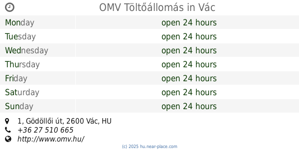
OMV Töltőállomás
Vác, Gödöllői út 1
Gas station
read more
20.984 km
SPAR Express OMV
Vác, Gödöllői út 1
Gas station
read more
21.441 km
Mobil Petrol
Vác, Szent László út 32
Gas station
read more
22.503 km
M. Petrol
Dunabogdány, 11
Gas station
read more
22.939 km
OIL
Tahitótfalu, Szabadság út 15
Gas station
read more
23.059 km
Duxler Kft Ipari Kiegészítők
Váchartyán
Gas station
read more
23.769 km
Skorpio-11 Kft.
Váchartyán, Fő út 9
Gas station
read more
25.196 km
Magán - Szécsény
Szécsény, Varsányi út 4
Gas station
read more
25.286 km
petrol Sea
Sződliget, Ország út
Gas station
read more
25.872 km
MOL Benzinkút
Nagymaros, Váci út 119
Gas station
read more
26.098 km
MOL Benzinkút
Visegrád, 11.sz.fkl. út
Gas station
read more
27.03 km
MOL Benzinkút
Szécsény, Salgótarjáni út
Gas station
read more
27.119 km
MOL Benzinkút
Leányfalu, Móricz Zsigmond út 165
Gas station
read more
27.119 km
MOL
Leányfalu, Móricz Zsigmond út 165
Gas station
read more
43.23 km
OMV
Budapest, Váci út 16-18
Gas station
read more
📑
all categories
Accounting
Administrative area level 1
Administrative area level 2
Airport
Amusement park
Aquarium
Art gallery
Atm
Bakery
Bank
Bar
Beauty salon
Bicycle store
Book store
Bowling alley
Bus station
Cafe
Campground
Car dealer
Car rental
Car repair
Car wash
Casino
Cemetery
Church
City hall
Clothing store
Colloquial area
Convenience store
Country
Courthouse
Dentist
Department store
Doctor
Electrician
Electronics store
Embassy
Finance
Fire station
Florist
Food
Funeral home
Furniture store
Gas station
General contractor
Grocery or supermarket
Gym
Hair care
Hardware store
Health
Hindu Temple
Home goods store
Hospital
Insurance agency
Intersection
Jewelry store
Laundry
Lawyer
Library
Light rail station
Liquor store
Local government office
Locality
Locksmith
Lodging
Meal delivery
Meal takeaway
Mosque
Movie rental
Movie theater
Moving company
Museum
Natural feature
Neighborhood
Night club
Painter
Park
Parking
Pet store
Pharmacy
Physiotherapist
Place of worship
Plumber
Point of interest
Police
Political
Post office
Premise
Real estate agency
Restaurant
Roofing contractor
Route
Rv park, camping
School
Shoe store
Shopping mall
Spa
Stadium
Storage
Store
Subpremise
Subway station
Supermarket
Synagogue
Taxi stand
Train station
Transit station
Travel agency
University
Veterinary care
Zoo
administrative area level 3
sublocality level 1
↑