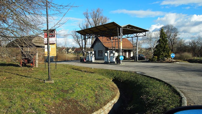
Gas station nearby Avia - Martonvásár
Hungary
Gas station nearby Avia - Martonvásár
Avia - Martonvásár
31, Bajcsy-Zsilinszky út, 2462, Martonvásár, HU Hungary
contacts phone
:
+36 22 569 091
Latitude:
47.3222579
, Longitude:
18.7849076
larger map & directions
read more
nearest Gas station
5 m
AVIA
Martonvásár, Bajcsy-Zsilinszky út 31
Gas station
read more
765 m
Martonvásár
Martonvásár, Budai út 32
Gas station
read more
3.437 km
OMV Töltőállomás
Kajászó, M7 autópálya 33. kmsz bal
Gas station
read more
3.448 km
Váli Völgyi Pihenő
Kajászó, 2472
Gas station
read more
3.456 km
OMV Töltőállomás
Kajászó, 33. kmsz jobb, M7
Gas station
read more
3.741 km
Aszfaltén Benzinkút
Tordas, Köztársaság út 7
Gas station
read more
3.744 km
Benzinkút
Tordas, Köztársaság út 8
Gas station
read more
4.248 km
MOL Benzinkút
Tárnok, M7 autópálya I. 26 km.
Gas station
read more
4.389 km
MOL Gas station
Tárnok, M7 autópálya II. 26 km.
Gas station
read more
8 km
AGIP Százhalombatta
Százhalombatta
Gas station
read more
8.094 km
Castrol
Vál
Gas station
read more
8.752 km
MOL Point Post Office
Százhalombatta, Városkapu út 3
Gas station
read more
8.752 km
MOL Postapont
Százhalombatta, Városkapu út 3
Gas station
read more
10.871 km
Avia
Kápolnásnyék, 7
Gas station
read more
11.215 km
AVIA
Érd, Kossuth Lajos utca 82
Gas station
read more
12.967 km
Shell
Érd, Budafoki út 2-4
Gas station
read more
13.092 km
Magán - Érd
Érd, Harangvirág utca 1
Gas station
read more
13.214 km
Lukoil
Érd, Budafoki út 5
Gas station
read more
14.261 km
Magán Benzinkút
Etyek, Kossuth Lajos utca 72
Gas station
read more
14.529 km
4M Benzinkút
Tököl, Ledina dűlő 4
Gas station
read more
16.338 km
MOL Gas station
Diósd, Tétényi u. 2. (hrsz 3666/1)
Gas station
read more
17.304 km
ENVI-METRO Budaörs
Budaörs, Budapark
Gas station
read more
19.216 km
Auchan
Budaörs, Baross utca 89
Gas station
read more
19.554 km
Er-Petro Kft.
Budaörs, Petőfi Sándor utca 60
Gas station
read more
20.133 km
Diesel Kut
Budapest, Repülőtéri út 6
Gas station
read more
📑
all categories
Accounting
Administrative area level 1
Administrative area level 2
Airport
Amusement park
Aquarium
Art gallery
Atm
Bakery
Bank
Bar
Beauty salon
Bicycle store
Book store
Bowling alley
Bus station
Cafe
Campground
Car dealer
Car rental
Car repair
Car wash
Casino
Cemetery
Church
City hall
Clothing store
Colloquial area
Convenience store
Country
Courthouse
Dentist
Department store
Doctor
Electrician
Electronics store
Embassy
Finance
Fire station
Florist
Food
Funeral home
Furniture store
Gas station
General contractor
Grocery or supermarket
Gym
Hair care
Hardware store
Health
Hindu Temple
Home goods store
Hospital
Insurance agency
Intersection
Jewelry store
Laundry
Lawyer
Library
Light rail station
Liquor store
Local government office
Locality
Locksmith
Lodging
Meal delivery
Meal takeaway
Mosque
Movie rental
Movie theater
Moving company
Museum
Natural feature
Neighborhood
Night club
Painter
Park
Parking
Pet store
Pharmacy
Physiotherapist
Place of worship
Plumber
Point of interest
Police
Political
Post office
Premise
Real estate agency
Restaurant
Roofing contractor
Route
Rv park, camping
School
Shoe store
Shopping mall
Spa
Stadium
Storage
Store
Subpremise
Subway station
Supermarket
Synagogue
Taxi stand
Train station
Transit station
Travel agency
University
Veterinary care
Zoo
administrative area level 3
sublocality level 1
↑