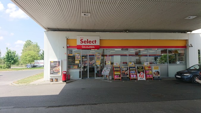
Gas station nearby ENVI-METRO Budaörs
Hungary
Gas station nearby ENVI-METRO Budaörs
ENVI-METRO Budaörs
Budapark, 2041, Budaörs, HU Magyarország
contacts phone
:
+36
website:
www.envikut.hu
Latitude:
47.4566297
, Longitude:
18.9009187
larger map & directions
read more
nearest Gas station
564 m
Shell
Törökbálint, 1, Tópark u. 1 Park U
Gas station
read more
725 m
MOL Benzinkút
Budaörs, Keleti utca
Gas station
read more
727 m
18225 sz. MOL töltőállomás (589830)
Budaörs
Gas station
read more
795 m
ALDI Benzinkút Budaörs
Budaörs, Kandó Kálmán utca 2
Gas station
read more
795 m
ALDI SÜD Töltőállomás
Budaörs, Kandó Kálmán utca 2
Gas station
read more
858 m
ALDI benzinkút
Budaörs, Unnamed Road
Gas station
read more
1.815 km
Auchan station
Törökbálint, Dulácska utca
Gas station
read more
3.451 km
MOL Benzinkút
Törökbálint, Raktárvárosi u. 3.
Gas station
read more
3.479 km
Pilis Autógáz Kft.
Budaörs, Sport utca 6
Gas station
read more
3.485 km
Auchan Budaörs benzinkút
Budaörs, Baross utca 89
Gas station
read more
3.485 km
Auchan Gas Station
Budaörs, Baross utca 89
Gas station
read more
3.504 km
Auchan Benzinkút Budaörs
Budaörs, Baross utca 89
Gas station
read more
3.504 km
Auchan
Budaörs, Baross utca 89
Gas station
read more
3.662 km
AVIA
Budaörs, Szabadság út 110-120
Gas station
read more
4.096 km
Er-Petro Kft.
Budaörs, Petőfi Sándor utca 60
Gas station
read more
4.256 km
OMV
M0 körgyűrű 6 km, M0
Gas station
read more
4.256 km
OMV Töltőállomás
M0 körgyűrű 6 km, M0
Gas station
read more
4.266 km
MOL Benzinkút
Budaörs, Garibaldi u. 2.
Gas station
read more
4.364 km
MOL Benzinkút
Törökbálint, M0 Annahegyi pihenõ
Gas station
read more
4.364 km
MOL Gas station
Törökbálint, M0 Annahegyi pihenõ
Gas station
read more
4.379 km
MOL Gas station
Budaörs, Rubik u. 3.
Gas station
read more
4.379 km
MOL Benzinkút
Budaörs, Rubik u. 3.
Gas station
read more
4.732 km
Gáztelep
Budaörs, Stefánia utca 29
Gas station
read more
4.733 km
Shell
Érd, Iparos utca 42
Gas station
read more
4.843 km
Shell
Budaörs, Kinizsi utca 1-3
Gas station
read more
📑
all categories
Accounting
Administrative area level 1
Administrative area level 2
Airport
Amusement park
Aquarium
Art gallery
Atm
Bakery
Bank
Bar
Beauty salon
Bicycle store
Book store
Bowling alley
Bus station
Cafe
Campground
Car dealer
Car rental
Car repair
Car wash
Casino
Cemetery
Church
City hall
Clothing store
Colloquial area
Convenience store
Country
Courthouse
Dentist
Department store
Doctor
Electrician
Electronics store
Embassy
Finance
Fire station
Florist
Food
Funeral home
Furniture store
Gas station
General contractor
Grocery or supermarket
Gym
Hair care
Hardware store
Health
Hindu Temple
Home goods store
Hospital
Insurance agency
Intersection
Jewelry store
Laundry
Lawyer
Library
Light rail station
Liquor store
Local government office
Locality
Locksmith
Lodging
Meal delivery
Meal takeaway
Mosque
Movie rental
Movie theater
Moving company
Museum
Natural feature
Neighborhood
Night club
Painter
Park
Parking
Pet store
Pharmacy
Physiotherapist
Place of worship
Plumber
Point of interest
Police
Political
Post office
Premise
Real estate agency
Restaurant
Roofing contractor
Route
Rv park, camping
School
Shoe store
Shopping mall
Spa
Stadium
Storage
Store
Subpremise
Subway station
Supermarket
Synagogue
Taxi stand
Train station
Transit station
Travel agency
University
Veterinary care
Zoo
administrative area level 3
sublocality level 1
↑