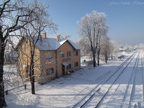
Transit station nearby Neszmély
Hungary
Transit station nearby Neszmély
Neszmély
Neszmély, 2544 Węgry
contacts phone
:
+36
Latitude:
47.7344444
, Longitude:
18.3452778
larger map & directions
read more
nearest Transit station
1.421 km
Dunaalmás
Hungary
Transit station
read more
1.642 km
Várhegyalja
Neszmély
Transit station
read more
6.294 km
Almásfüzitő
Hungary
Transit station
read more
7.279 km
Süttő felső
Süttő
Transit station
read more
8.722 km
Süttő
Hungary
Transit station
read more
12.714 km
Lábatlan
Hungary
Transit station
read more
13.997 km
Eternitgyár
Nyergesújfalu
Transit station
read more
14.921 km
Nyergesújfalu felső
Nyergesújfalu
Transit station
read more
16.446 km
Nyergesújfalu
Hungary
Transit station
read more
17.245 km
Bánhida
Hungary
Transit station
read more
21.462 km
Környe
Hungary
Transit station
read more
21.544 km
Tát
Hungary
Transit station
read more
24.655 km
Tokod
Hungary
Transit station
read more
27.1 km
Szák-Szend
Szákszend
Transit station
read more
27.654 km
Oroszlány
Hungary
Transit station
read more
30.156 km
Esztergom
Hungary
Transit station
read more
34.964 km
Pilisjászfalu
Hungary
Transit station
read more
42.77 km
Zebegény
Hungary
Transit station
read more
42.915 km
Ankerkette Kft
Dömös, Rév kikötő
Transit station
read more
43.162 km
Győr-Gönyű Kikötő
Győr
Transit station
read more
44.741 km
Vörösvárbánya
Hungary
Transit station
read more
46.083 km
Szélhegy
Hungary
Transit station
read more
52.115 km
János-hegy, Libegő
Budapest, Jánoshegyi út
Transit station
read more
56.252 km
Gic-Hathalom
Gic
Transit station
read more
62.008 km
Budatétényi sorompó
Hungary
Transit station
read more
📑
all categories
Accounting
Administrative area level 1
Administrative area level 2
Airport
Amusement park
Aquarium
Art gallery
Atm
Bakery
Bank
Bar
Beauty salon
Bicycle store
Book store
Bowling alley
Bus station
Cafe
Campground
Car dealer
Car rental
Car repair
Car wash
Casino
Cemetery
Church
City hall
Clothing store
Colloquial area
Convenience store
Country
Courthouse
Dentist
Department store
Doctor
Electrician
Electronics store
Embassy
Finance
Fire station
Florist
Food
Funeral home
Furniture store
Gas station
General contractor
Grocery or supermarket
Gym
Hair care
Hardware store
Health
Hindu Temple
Home goods store
Hospital
Insurance agency
Intersection
Jewelry store
Laundry
Lawyer
Library
Light rail station
Liquor store
Local government office
Locality
Locksmith
Lodging
Meal delivery
Meal takeaway
Mosque
Movie rental
Movie theater
Moving company
Museum
Natural feature
Neighborhood
Night club
Painter
Park
Parking
Pet store
Pharmacy
Physiotherapist
Place of worship
Plumber
Point of interest
Police
Political
Post office
Premise
Real estate agency
Restaurant
Roofing contractor
Route
Rv park, camping
School
Shoe store
Shopping mall
Spa
Stadium
Storage
Store
Subpremise
Subway station
Supermarket
Synagogue
Taxi stand
Train station
Transit station
Travel agency
University
Veterinary care
Zoo
administrative area level 3
sublocality level 1
↑