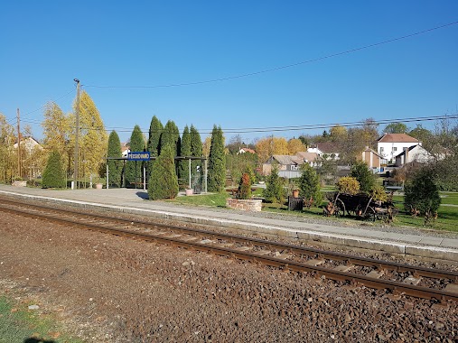
Train station nearby Királyegyháza-Rigópuszta
Hungary
Train station nearby Királyegyháza-Rigópuszta
Királyegyháza-Rigópuszta
Királyegyháza Hungary
contacts phone
:
+36
Latitude:
45.9891667
, Longitude:
17.9716667
read more
nearest Train station
1.324 km
Gyöngyfa-Magyarmecske
Királyegyháza
Train station
read more
5.129 km
Szentlőrinc
Szentlőrinc
Train station
read more
5.499 km
Sumony
Hungary
Train station
read more
6.31 km
Szentdénes
Nagypeterd
Train station
read more
9.532 km
Nagypeterd
Hungary
Train station
read more
10.198 km
Okorág-Kárászpuszta
Okorág
Train station
read more
13.198 km
Kákics
Hungary
Train station
read more
14.406 km
Szigetvár railway station
Szigetvár
Train station
read more
15.553 km
Sellye
Hungary
Train station
read more
16.015 km
Mecsekalja-Cserkút
Pécs
Train station
read more
20.919 km
Nemeske
Hungary
Train station
read more
21.081 km
Szentmártonpuszta
Almamellék
Train station
read more
21.246 km
Pecs
Hungary
Train station
read more
21.429 km
MÁV Magyar Államvasutak
Pécs, Indóház tér 1
Train station
read more
22.653 km
Pécs-Külváros
Pécs
Train station
read more
23.584 km
Pécsudvard
Hungary
Train station
read more
23.588 km
Kisdobsza
Hungary
Train station
read more
23.823 km
Lukafai elágazás
Almamellék
Train station
read more
24.48 km
Sasrét erdei iskola
Almamellék
Train station
read more
24.482 km
Pécsbánya-Rendező
Hungary
Train station
read more
24.626 km
Lukafa
Almamellék
Train station
read more
24.713 km
Szőkéd
Hungary
Train station
read more
25.016 km
Sasrét
Almamellék
Train station
read more
25.269 km
Szatina-Kishajmás
Kishajmás
Train station
read more
28.845 km
Darány
Darány
Train station
read more
📑
all categories
Accounting
Administrative area level 1
Administrative area level 2
Airport
Amusement park
Aquarium
Art gallery
Atm
Bakery
Bank
Bar
Beauty salon
Bicycle store
Book store
Bowling alley
Bus station
Cafe
Campground
Car dealer
Car rental
Car repair
Car wash
Casino
Cemetery
Church
City hall
Clothing store
Colloquial area
Convenience store
Country
Courthouse
Dentist
Department store
Doctor
Electrician
Electronics store
Embassy
Finance
Fire station
Florist
Food
Funeral home
Furniture store
Gas station
General contractor
Grocery or supermarket
Gym
Hair care
Hardware store
Health
Hindu Temple
Home goods store
Hospital
Insurance agency
Intersection
Jewelry store
Laundry
Lawyer
Library
Light rail station
Liquor store
Local government office
Locality
Locksmith
Lodging
Meal delivery
Meal takeaway
Mosque
Movie rental
Movie theater
Moving company
Museum
Natural feature
Neighborhood
Night club
Painter
Park
Parking
Pet store
Pharmacy
Physiotherapist
Place of worship
Plumber
Point of interest
Police
Political
Post office
Premise
Real estate agency
Restaurant
Roofing contractor
Route
Rv park, camping
School
Shoe store
Shopping mall
Spa
Stadium
Storage
Store
Subpremise
Subway station
Supermarket
Synagogue
Taxi stand
Train station
Transit station
Travel agency
University
Veterinary care
Zoo
administrative area level 3
sublocality level 1
↑