Train station nearby Derecske-Vásártér
Hungary
Train station nearby Derecske-Vásártér
Derecske-Vásártér
Derecske Hungary
contacts phone
:
+36
Latitude:
47.351311
, Longitude:
21.5812119
read more
nearest Train station
7.867 km
Sáránd
Mikepércs
Train station
read more
11.652 km
Szepes
Debrecen
Train station
read more
12.663 km
Konyári Sóstófürdő
Hosszúpályi
Train station
read more
14.15 km
Szepeshalom
Debrecen
Train station
read more
17.434 km
Pocsaj-Esztár
Pocsaj
Train station
read more
19.134 km
Debrecen Vasútállomási Határátkelőhely
Debrecen, Petőfi tér 12., Vasútállomás
Train station
read more
19.134 km
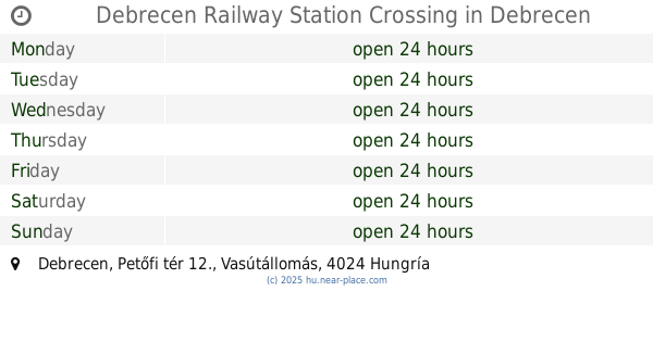
Debrecen Railway Station Crossing
Debrecen, Petőfi tér 12., Vasútállomás
Train station
read more
19.813 km
Tócóvölgy
Debrecen
Train station
read more
20.465 km
Debrecen-Szabadságtelep
Debrecen
Train station
read more
20.553 km
Debrecen-Fatelep
Debrecen
Train station
read more
21.632 km
Debrecen-Csapókert
Debrecen
Train station
read more
21.791 km
Debrecen-Kondoros
Debrecen
Train station
read more
21.988 km
Fancsika
Debrecen
Train station
read more
22.023 km
Kismacs
Debrecen
Train station
read more
22.42 km
Csereerdő
Debrecen
Train station
read more
23.562 km
Nagycsere
Debrecen
Train station
read more
23.875 km
Látókép
Debrecen
Train station
read more
24.728 km
Erdészlak
Debrecen
Train station
read more
25.298 km
Macs
Debrecen
Train station
read more
25.94 km
Martinka
Debrecen
Train station
read more
26.532 km
Tófürdő
Debrecen
Train station
read more
27.397 km
Sámsoni út
Debrecen
Train station
read more
28.195 km
Haláperdő
Debrecen
Train station
read more
29.818 km
Hármashegyalja
Debrecen
Train station
read more
29.944 km
Vámospércs
Hungary
Train station
read more
📑
all categories
Accounting
Administrative area level 1
Administrative area level 2
Airport
Amusement park
Aquarium
Art gallery
Atm
Bakery
Bank
Bar
Beauty salon
Bicycle store
Book store
Bowling alley
Bus station
Cafe
Campground
Car dealer
Car rental
Car repair
Car wash
Casino
Cemetery
Church
City hall
Clothing store
Colloquial area
Convenience store
Country
Courthouse
Dentist
Department store
Doctor
Electrician
Electronics store
Embassy
Finance
Fire station
Florist
Food
Funeral home
Furniture store
Gas station
General contractor
Grocery or supermarket
Gym
Hair care
Hardware store
Health
Hindu Temple
Home goods store
Hospital
Insurance agency
Intersection
Jewelry store
Laundry
Lawyer
Library
Light rail station
Liquor store
Local government office
Locality
Locksmith
Lodging
Meal delivery
Meal takeaway
Mosque
Movie rental
Movie theater
Moving company
Museum
Natural feature
Neighborhood
Night club
Painter
Park
Parking
Pet store
Pharmacy
Physiotherapist
Place of worship
Plumber
Point of interest
Police
Political
Post office
Premise
Real estate agency
Restaurant
Roofing contractor
Route
Rv park, camping
School
Shoe store
Shopping mall
Spa
Stadium
Storage
Store
Subpremise
Subway station
Supermarket
Synagogue
Taxi stand
Train station
Transit station
Travel agency
University
Veterinary care
Zoo
administrative area level 3
sublocality level 1
↑