Store nearby Táp-takarmány
Hungary
Store nearby Táp-takarmány
Táp-takarmány
Ballószög, Katona József utca Magyarország
contacts phone
:
+36
Latitude:
46.8641821
, Longitude:
19.5709749
read more
nearest Store
232 m
Játékok birodalma játékbolt
Ballószög, Bem utca 11
Store
read more
244 m
Zöldség-gyümölcs
Ballószög, u 6035, Bem utca 1
Store
read more
244 m
Ballószögi Zöldség-Gyümölcs Bolt
Ballószög, u 6035, Bem utca 1
Store
read more
250 m
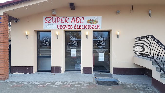
Szuper ABC
Ballószög, Bem utca 10
Store
read more
735 m
Nemzeti Dohánybolt
Ballószög, Bem utca 53
Store
read more
1.102 km
nyergesmester
Ballószög, 30/A, II.kőrzet tanya
Store
read more
1.54 km
Karapin Bt.
Kecskemét, Ballószög III.ker 65
Store
read more
3.17 km
Hírös Eper
Kecskemét, Szarkás tanya 14/a
Store
read more
3.417 km
Bio-Mynd Kft.
Helvécia, Kecskeméti út 75
Store
read more
3.662 km
Nemzeti Dohánybolt - Trafik
Kecskemét, Boróka utca 10
Store
read more
3.662 km
National Tobacco shop - Tobacco Shop
Kecskemét, Boróka utca 10
Store
read more
3.862 km
Ipari Szerszáműzlet
Kecskemét
Store
read more
4.112 km
Bakó cukrászat
Kecskemét, Beretvás köz 9-11
Store
read more
4.117 km
Székely Nektár Kft.
Kecskemét, Felsőcsalános tanya 17a
Store
read more
4.146 km
Autóflex-Knott Kft.- Utánfutó alkatrészek
Kecskemét, Heliport HRSZ, 11751 1
Store
read more
4.146 km
Autóflex-Knott Kft.
Kecskemét
Store
read more
4.146 km
Autóflex-Knott Kft.
Kecskemét, Heliport HRSZ, 11751 1
Store
read more
4.333 km
Qsky Model
Kecskemét, Kecskeméti út 2
Store
read more
4.553 km
Utánfutó Centrum
Kecskemét, Ballószög tanya 156
Store
read more
4.791 km
CBA
Helvécia, Áruház utca 1
Store
read more
5.445 km
goldfisch
Kecskemét, Felsőcsalános tanya
Store
read more
5.445 km
goldfisch
Kecskemét, Felsőcsalános tanya 5
Store
read more
5.56 km
Vodafone partner - FOM-Mobil Kft.
Kecskemét, Dunaföldvári út 2., Auchan
Store
read more
5.616 km
BioTech USA
Kecskemét, Izsáki út 2
Store
read more
16.582 km
Marika Tanyája
Kerekegyháza
Store
read more
📑
all categories
Accounting
Administrative area level 1
Administrative area level 2
Airport
Amusement park
Aquarium
Art gallery
Atm
Bakery
Bank
Bar
Beauty salon
Bicycle store
Book store
Bowling alley
Bus station
Cafe
Campground
Car dealer
Car rental
Car repair
Car wash
Casino
Cemetery
Church
City hall
Clothing store
Colloquial area
Convenience store
Country
Courthouse
Dentist
Department store
Doctor
Electrician
Electronics store
Embassy
Finance
Fire station
Florist
Food
Funeral home
Furniture store
Gas station
General contractor
Grocery or supermarket
Gym
Hair care
Hardware store
Health
Hindu Temple
Home goods store
Hospital
Insurance agency
Intersection
Jewelry store
Laundry
Lawyer
Library
Light rail station
Liquor store
Local government office
Locality
Locksmith
Lodging
Meal delivery
Meal takeaway
Mosque
Movie rental
Movie theater
Moving company
Museum
Natural feature
Neighborhood
Night club
Painter
Park
Parking
Pet store
Pharmacy
Physiotherapist
Place of worship
Plumber
Point of interest
Police
Political
Post office
Premise
Real estate agency
Restaurant
Roofing contractor
Route
Rv park, camping
School
Shoe store
Shopping mall
Spa
Stadium
Storage
Store
Subpremise
Subway station
Supermarket
Synagogue
Taxi stand
Train station
Transit station
Travel agency
University
Veterinary care
Zoo
administrative area level 3
sublocality level 1
↑