Store nearby Siki Pékség Mintaboltja
Hungary
Store nearby Siki Pékség Mintaboltja
Siki Pékség Mintaboltja
20, Árpád vezér út, 3600, Ózd, HU Magyarország
contacts phone
:
+36 30 495 9264
Latitude:
48.2212374
, Longitude:
20.2664397
larger map & directions
read more
nearest Store
80 m
Goods Market
Ózd, Árpád vezér út 20
Store
read more
91 m
Húsbolt
Ózd, Árpád vezér út 22
Store
read more
91 m
Nemzeti Dohánybolt
Ózd, Árpád vezér út 22
Store
read more
222 m
COOP ABC
Ózd, Bolyki főút 25
Store
read more
502 m
Ózdi horgásztó
Ózd, Kölcsey utca
Store
read more
614 m
Moncsi Virág-Ajándék
Ózd, Bolyki főút 18
Store
read more
622 m
Dodgem Autósbolt
Ózd, Brassói ut Garázstelep
Store
read more
717 m
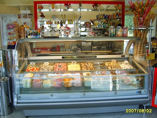
Gyöngyszem Fagylaltozó
Ózd, Bolyki főút 49
Store
read more
722 m
Pláza Mobil Shop & Service
Ózd, Brassói út 3., Tesco Üzletsor
Store
read more
733 m
Siki Pékség Mintaboltja
Ózd, Nemzetőr utca 12
Store
read more
770 m
Gömör ABC
Ózd, Gömöri utca 4
Store
read more
779 m
Missy 014
Ózd, Bolyki főút 67
Store
read more
791 m
Unió Coop Zrt.
Ózd, Bolyki főút 67
Store
read more
796 m
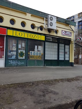
Lottózó
Ózd, Bolyki főút 67
Store
read more
903 m
Rinocérosz Műanyag Nyílászáró
Ózd, Sárli út 1
Store
read more
910 m
Siki Pékség Mintaboltja
Ózd, Bolyki főút 77
Store
read more
922 m
Kiskedvenc Állateledel
Ózd, Bolyki főút 42
Store
read more
938 m
Gazdabolt
Ózd, Balassi Bálint utca 10
Store
read more
991 m
Vitamin Barlang
Ózd, Bolyki főút 50
Store
read more
992 m
Rossmann drogéria
Ózd, Vasvár út 54
Store
read more
992 m
Rossmann
Ózd, Vasvár út 54
Store
read more
992 m
Rossmann Drogéria Parfüméria
Ózd, Vasvár út 54
Store
read more
1.002 km
Tulipán 100Ft-os
Ózd, Vasvár út 54
Store
read more
1.014 km
Orion Műszaki Bizományi
Ózd, Vasvár út 51
Store
read more
1.073 km
Maya Csemege
Ózd, Nagy Imre út 43
Store
read more
📑
all categories
Accounting
Administrative area level 1
Administrative area level 2
Airport
Amusement park
Aquarium
Art gallery
Atm
Bakery
Bank
Bar
Beauty salon
Bicycle store
Book store
Bowling alley
Bus station
Cafe
Campground
Car dealer
Car rental
Car repair
Car wash
Casino
Cemetery
Church
City hall
Clothing store
Colloquial area
Convenience store
Country
Courthouse
Dentist
Department store
Doctor
Electrician
Electronics store
Embassy
Finance
Fire station
Florist
Food
Funeral home
Furniture store
Gas station
General contractor
Grocery or supermarket
Gym
Hair care
Hardware store
Health
Hindu Temple
Home goods store
Hospital
Insurance agency
Intersection
Jewelry store
Laundry
Lawyer
Library
Light rail station
Liquor store
Local government office
Locality
Locksmith
Lodging
Meal delivery
Meal takeaway
Mosque
Movie rental
Movie theater
Moving company
Museum
Natural feature
Neighborhood
Night club
Painter
Park
Parking
Pet store
Pharmacy
Physiotherapist
Place of worship
Plumber
Point of interest
Police
Political
Post office
Premise
Real estate agency
Restaurant
Roofing contractor
Route
Rv park, camping
School
Shoe store
Shopping mall
Spa
Stadium
Storage
Store
Subpremise
Subway station
Supermarket
Synagogue
Taxi stand
Train station
Transit station
Travel agency
University
Veterinary care
Zoo
administrative area level 3
sublocality level 1
↑