Store nearby FüggönyMánia
Hungary
Store nearby FüggönyMánia
FüggönyMánia
49, Ady Endre utca, 2627, Zebegény, HU Magyarország
contacts phone
:
+36 30 405 3612
website:
sites.google.com
Latitude:
47.80783
, Longitude:
18.919306
larger map & directions
read more
nearest Store
661 m
Monarchia Rétesház
Zebegény, Kossuth út 33
Store
read more
896 m
ABC
Zebegény, Petőfi tér 15
Store
read more
2.793 km
Ezercikk Autósbolt - Szőke Zoltán
Szob, Jókai utca 1
Store
read more
3.123 km
Stencli méhészet
Szob, Akác utca 11
Store
read more
3.48 km
Tibesz Húsbolt
Nagymaros, Magyar utca 28
Store
read more
3.494 km
Hesztia Lakás Varázs
Nagymaros, Magyar utca 28
Store
read more
3.531 km
Nemzeti Dohánybolt
Nagymaros, Magyar utca 21
Store
read more
3.542 km
Mátyás Király Restaurant
Nagymaros, Magyar utca 24
Store
read more
3.542 km
Mátyás Király Étterem
Nagymaros, Magyar utca 24
Store
read more
3.548 km
CBA - Príma
Nagymaros, Magyar utca 21
Store
read more
3.548 km
Príma - Nagymaros Áruház
Nagymaros, Magyar utca 21
Store
read more
3.571 km
Kínai Áruház
Nagymaros, Fő tér 11
Store
read more
3.571 km
China Store
Nagymaros, Fő tér 11
Store
read more
3.582 km
Manyi shop
Nagymaros, Fő tér 22
Store
read more
3.582 km
Manyi boltja
Nagymaros, Fő tér 22
Store
read more
3.583 km
Édeske Alíz confectionery and Restaurant
Nagymaros, Dózsa György utca 21
Store
read more
3.583 km
Édeske Cukrász Műhely
Nagymaros, Dózsa György utca 21
Store
read more
3.613 km
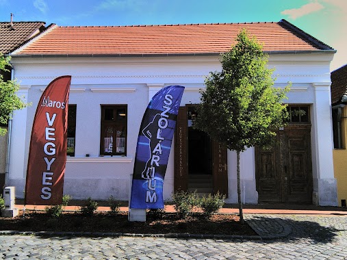
Maros Vegyeskereskedés és Szolárium
Nagymaros, Magyar utca 13
Store
read more
3.626 km
Paduc Horgászbolt
Nagymaros, Váci út 26
Store
read more
3.71 km
National tobacco shop
Szob, Arany János utca 19
Store
read more
3.731 km
Happy Jump Bt. légvár szerviz
Pilismarót, Iskola utca 29
Store
read more
4.12 km
Pilismaróti Manyibolt
Pilismarót, Rákóczi Ferenc utca 10
Store
read more
4.386 km
Ajándékbolt
Visegrád
Store
read more
4.462 km
Dohánybolt
Visegrád, Rév utca 2
Store
read more
4.716 km
Káosz üzlet
Visegrád, Schulek utca 20
Store
read more
📑
all categories
Accounting
Administrative area level 1
Administrative area level 2
Airport
Amusement park
Aquarium
Art gallery
Atm
Bakery
Bank
Bar
Beauty salon
Bicycle store
Book store
Bowling alley
Bus station
Cafe
Campground
Car dealer
Car rental
Car repair
Car wash
Casino
Cemetery
Church
City hall
Clothing store
Colloquial area
Convenience store
Country
Courthouse
Dentist
Department store
Doctor
Electrician
Electronics store
Embassy
Finance
Fire station
Florist
Food
Funeral home
Furniture store
Gas station
General contractor
Grocery or supermarket
Gym
Hair care
Hardware store
Health
Hindu Temple
Home goods store
Hospital
Insurance agency
Intersection
Jewelry store
Laundry
Lawyer
Library
Light rail station
Liquor store
Local government office
Locality
Locksmith
Lodging
Meal delivery
Meal takeaway
Mosque
Movie rental
Movie theater
Moving company
Museum
Natural feature
Neighborhood
Night club
Painter
Park
Parking
Pet store
Pharmacy
Physiotherapist
Place of worship
Plumber
Point of interest
Police
Political
Post office
Premise
Real estate agency
Restaurant
Roofing contractor
Route
Rv park, camping
School
Shoe store
Shopping mall
Spa
Stadium
Storage
Store
Subpremise
Subway station
Supermarket
Synagogue
Taxi stand
Train station
Transit station
Travel agency
University
Veterinary care
Zoo
administrative area level 3
sublocality level 1
↑