Store nearby Élelmiszer Hunok Csemege
Hungary
Store nearby Élelmiszer Hunok Csemege
Élelmiszer Hunok Csemege
Villányi út, 1113, Budapest, HU Magyarország
contacts phone
:
+36 70 424 2104
website:
wikimapia.org
Latitude:
47.4823808
, Longitude:
19.0307202
larger map & directions
read more
nearest Store
286 m
TérképCenter Kft.
Budapest, Villányi út 52
Store
read more
308 m
Onlinecsoport Kft.
Budapest, Villányi út 48/b.
Store
read more
320 m
StampMax - A Bélyegzőkészítő
Budapest, Villányi út 48
Store
read more
347 m
OIKOS Festéklerakat
Budapest, Budaörsi út 31/C
Store
read more
388 m
Unikon
Budapest, Budaörsi út 35
Store
read more
393 m
Nemzeti Dohánybolt
Budapest, Budaörsi út 35
Store
read more
495 m
Nemzeti Dohánybolt
Budapest, Karolina út 37a
Store
read more
583 m
CBA Bocskai Csemege
Budapest, Bocskai út 63
Store
read more
718 m
Vasútmodell-Centrum szaküzlet
Budapest, Nagyszőlős utca 9
Store
read more
763 m
Nunu Online Toy Store
Budapest, Hegyalja út 14
Store
read more
831 m
Barista Szaküzlet
Budapest, Csörsz utca 3
Store
read more
871 m
Calabria Kozmetika
Budapest, Zsombolyai utca 7
Store
read more
967 m
Szepsegtrend.hu webáruház
Budapest, Edömér utca 2
Store
read more
997 m
CBA Manó ABC
Budapest, Vincellér utca 47
Store
read more
1.014 km
Paleo Bolt
Budapest, Bartók Béla út 85
Store
read more
1.034 km
Guess
Budapest, Mom park, Alkotás utca 53
Store
read more
1.06 km
Pirex Papír
Budapest, Alkotás utca 53
Store
read more
1.065 km
Szamos Marcipán
Budapest, Alkotás utca 53
Store
read more
1.071 km
Coop mini 0-24
Budapest, Bartók Béla út 86
Store
read more
1.071 km
Optic World Mom Park
Budapest, Alkotás utca 53
Store
read more
1.081 km
Telenor
Budapest, Alkotás utca 53
Store
read more
1.153 km
Bartók Béla út Hobby artist
Budapest, Bartók Béla út 61
Store
read more
1.205 km
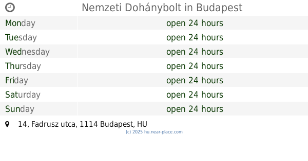
Nemzeti Dohánybolt
Budapest, Fadrusz utca 14
Store
read more
1.208 km
Édes Pötty Budapest
Budapest, Dolgos utca 2. IV. épület
Store
read more
1.228 km
4elem.hu akciós webáruház
Budapest, 18, Csörsz utca
Store
read more
📑
all categories
Accounting
Administrative area level 1
Administrative area level 2
Airport
Amusement park
Aquarium
Art gallery
Atm
Bakery
Bank
Bar
Beauty salon
Bicycle store
Book store
Bowling alley
Bus station
Cafe
Campground
Car dealer
Car rental
Car repair
Car wash
Casino
Cemetery
Church
City hall
Clothing store
Colloquial area
Convenience store
Country
Courthouse
Dentist
Department store
Doctor
Electrician
Electronics store
Embassy
Finance
Fire station
Florist
Food
Funeral home
Furniture store
Gas station
General contractor
Grocery or supermarket
Gym
Hair care
Hardware store
Health
Hindu Temple
Home goods store
Hospital
Insurance agency
Intersection
Jewelry store
Laundry
Lawyer
Library
Light rail station
Liquor store
Local government office
Locality
Locksmith
Lodging
Meal delivery
Meal takeaway
Mosque
Movie rental
Movie theater
Moving company
Museum
Natural feature
Neighborhood
Night club
Painter
Park
Parking
Pet store
Pharmacy
Physiotherapist
Place of worship
Plumber
Point of interest
Police
Political
Post office
Premise
Real estate agency
Restaurant
Roofing contractor
Route
Rv park, camping
School
Shoe store
Shopping mall
Spa
Stadium
Storage
Store
Subpremise
Subway station
Supermarket
Synagogue
Taxi stand
Train station
Transit station
Travel agency
University
Veterinary care
Zoo
administrative area level 3
sublocality level 1
↑