Restaurant nearby Piroska étterem
Hungary
Restaurant nearby Piroska étterem
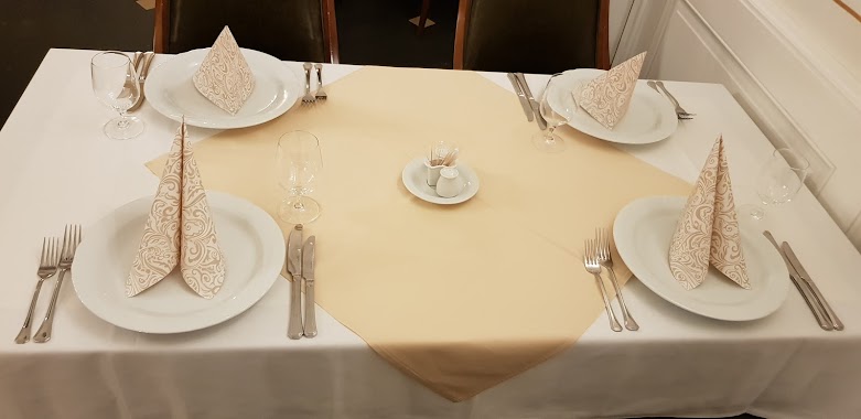
Piroska étterem
Nagydorog Hungary
contacts phone
:
+36
Latitude:
46.6170908
, Longitude:
18.6537015
read more
nearest Restaurant
1.581 km
Szalai Étterem
Örkény, 46°36'10. 18°39'07., 5 9"E
Restaurant
read more
4.413 km
Wein&Speiz Fogadó
Györköny, Petőfi Sándor utca 386
Restaurant
read more
10.821 km
Kávéház
Tengelic, Rákóczi Ferenc utca
Restaurant
read more
11.006 km
Gondűző
Tengelic, Bezerédj utca
Restaurant
read more
11.22 km
Fakanál Ételház
Tengelic, Rákóczi Ferenc utca 31
Restaurant
read more
12.905 km
Kölesd
Kölesd, József Attila utca 1
Restaurant
read more
13.361 km
Sörkert
Paks
Restaurant
read more
14.133 km
Box Büfé
Paks, Fenyves utca 8
Restaurant
read more
14.235 km
Okvetlen Gasztropub & Étterem
Németkér, Szabadság utca
Restaurant
read more
14.456 km
Center Étterem és Kávézó
Paks, Vadász utca 65
Restaurant
read more
14.5 km
Ínyenc Falatozó
Paks, Barátság útja 3
Restaurant
read more
15.472 km
Box-Bufé
Paks, Rákóczi utca 1
Restaurant
read more
15.825 km
Héttkonyha és Sunfitt Stúdió
Paks, Laktanya utca 7
Restaurant
read more
16.12 km
Retro Kávézó Étterem Pub
Paks, Dózsa György út 7
Restaurant
read more
16.365 km
Erzsébet Étterem
Paks, Szent István tér 2
Restaurant
read more
23.889 km
Sèf Kisvendèglő
Tolna, Deák Ferenc utca 2
Restaurant
read more
24.412 km
Kisvadász Söröző
Ozora, Hunyadi utca 59
Restaurant
read more
25.512 km
Judit Vendéglő
Kalocsa, Foktői utca 34
Restaurant
read more
25.593 km
Viza Bisztró és Vendégház
Madocsa, Dunaszél
Restaurant
read more
26.634 km
Oázis Hamburger
Kalocsa, Szent István király út 31
Restaurant
read more
26.648 km
Pecsenyesütő
Kalocsa, Búzapiac tér 9
Restaurant
read more
27.001 km
Kalocsai Halászcsárda
Kalocsa, Bátyai út 58
Restaurant
read more
27.127 km
Fenyőfa vendéglő
Előszállás, Balatoni út 45
Restaurant
read more
27.513 km
Vincze Etterem Restaurent
Előszállás, Balatoni út
Restaurant
read more
29.501 km
Centrum Étterem és Salátabár
Dunaföldvár, Béke tér 12
Restaurant
read more
📑
all categories
Accounting
Administrative area level 1
Administrative area level 2
Airport
Amusement park
Aquarium
Art gallery
Atm
Bakery
Bank
Bar
Beauty salon
Bicycle store
Book store
Bowling alley
Bus station
Cafe
Campground
Car dealer
Car rental
Car repair
Car wash
Casino
Cemetery
Church
City hall
Clothing store
Colloquial area
Convenience store
Country
Courthouse
Dentist
Department store
Doctor
Electrician
Electronics store
Embassy
Finance
Fire station
Florist
Food
Funeral home
Furniture store
Gas station
General contractor
Grocery or supermarket
Gym
Hair care
Hardware store
Health
Hindu Temple
Home goods store
Hospital
Insurance agency
Intersection
Jewelry store
Laundry
Lawyer
Library
Light rail station
Liquor store
Local government office
Locality
Locksmith
Lodging
Meal delivery
Meal takeaway
Mosque
Movie rental
Movie theater
Moving company
Museum
Natural feature
Neighborhood
Night club
Painter
Park
Parking
Pet store
Pharmacy
Physiotherapist
Place of worship
Plumber
Point of interest
Police
Political
Post office
Premise
Real estate agency
Restaurant
Roofing contractor
Route
Rv park, camping
School
Shoe store
Shopping mall
Spa
Stadium
Storage
Store
Subpremise
Subway station
Supermarket
Synagogue
Taxi stand
Train station
Transit station
Travel agency
University
Veterinary care
Zoo
administrative area level 3
sublocality level 1
↑