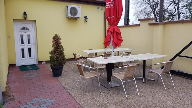
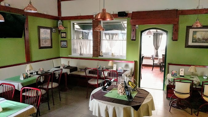
Restaurant nearby McDonald's
Hungary
Restaurant nearby McDonald's
McDonald's
16, Pesti út, 1173, Budapest, HU Ungarn
contacts phone
:
+36 1 253 0080
website:
www.mcdonalds.hu
Latitude:
47.4840919
, Longitude:
19.2361551
larger map & directions
read more
nearest Restaurant
150 m
Chinese Fast Food Restaurant
Budapest, 23, Pesti út
Restaurant
read more
150 m
Kínai Étterem
Budapest, Pesti út 23
Restaurant
read more
178 m
La Donna Pizzéria
Budapest, Pesti út 34
Restaurant
read more
270 m
RetroBurger
Budapest, Kis utca 1
Restaurant
read more
270 m
Retro-Burger Kft.
Budapest, Kis utca 1
Restaurant
read more
413 m
Bedő Söröző
Budapest, Sima utca 21
Restaurant
read more
437 m
Kis-Titok Étkezde
Budapest, Pesti út 70
Restaurant
read more
470 m
Mimi Kínai Gyorsbüfé
Budapest, Pesti út 41/c
Restaurant
read more
472 m
Borsó Utcai Söröző
Budapest, Borsó utca
Restaurant
read more
525 m
P-41
Budapest, Pesti út 91
Restaurant
read more
579 m
Tacuba Étterem Gastroland Kft.
Budapest, Hajdúcsárda utca 5
Restaurant
read more
619 m
Don Pepe
Budapest, Pesti út 5-7
Restaurant
read more
693 m
Korona Söröző
Budapest, Cinkotai út
Restaurant
read more
721 m
Hung
Budapest
Restaurant
read more
976 m
Lidi Mama Konyhája
Budapest, Vadkacsa utca 57
Restaurant
read more
1.008 km
Bánfi Étterem
Budapest, 49, Cinkotai út 43
Restaurant
read more
1.159 km
Bogi Bisztró
Budapest, u, Cinkotai út 34
Restaurant
read more
1.255 km
PaSa Gyros
Budapest, Pesti út 159
Restaurant
read more
1.42 km
Heppi Hurka
Budapest, Pesti út
Restaurant
read more
1.42 km
Heppi Hurka
Budapest, Budapest, Pesti út & 501. u.
Restaurant
read more
1.448 km
Darling Söröző
Budapest, 501. utca 2
Restaurant
read more
1.497 km
Pipi Mama Büfé-pecsenyés
Budapest, Kaszáló utca 47
Restaurant
read more
1.648 km
Boldog Kínai Gyorsétterem
Budapest, Pesti út 177
Restaurant
read more
2.077 km
Malomkerék Étterem és Rendezvényház
Budapest, Pesti út 211
Restaurant
read more
2.094 km
Jaffa Grill
Budapest, Ferihegyi út 250
Restaurant
read more
📑
all categories
Accounting
Administrative area level 1
Administrative area level 2
Airport
Amusement park
Aquarium
Art gallery
Atm
Bakery
Bank
Bar
Beauty salon
Bicycle store
Book store
Bowling alley
Bus station
Cafe
Campground
Car dealer
Car rental
Car repair
Car wash
Casino
Cemetery
Church
City hall
Clothing store
Colloquial area
Convenience store
Country
Courthouse
Dentist
Department store
Doctor
Electrician
Electronics store
Embassy
Finance
Fire station
Florist
Food
Funeral home
Furniture store
Gas station
General contractor
Grocery or supermarket
Gym
Hair care
Hardware store
Health
Hindu Temple
Home goods store
Hospital
Insurance agency
Intersection
Jewelry store
Laundry
Lawyer
Library
Light rail station
Liquor store
Local government office
Locality
Locksmith
Lodging
Meal delivery
Meal takeaway
Mosque
Movie rental
Movie theater
Moving company
Museum
Natural feature
Neighborhood
Night club
Painter
Park
Parking
Pet store
Pharmacy
Physiotherapist
Place of worship
Plumber
Point of interest
Police
Political
Post office
Premise
Real estate agency
Restaurant
Roofing contractor
Route
Rv park, camping
School
Shoe store
Shopping mall
Spa
Stadium
Storage
Store
Subpremise
Subway station
Supermarket
Synagogue
Taxi stand
Train station
Transit station
Travel agency
University
Veterinary care
Zoo
administrative area level 3
sublocality level 1
↑