Restaurant nearby LÁNGOSOS - Flórián tér aluljáró
Hungary
Restaurant nearby LÁNGOSOS - Flórián tér aluljáró
LÁNGOSOS - Flórián tér aluljáró
Budapest, Aluljáró szint, Flórián tér 1 Węgry
contacts phone
:
+36
Latitude:
47.5409692
, Longitude:
19.0409606
read more
nearest Restaurant
162 m
Sissy Lotti Söröző
Budapest, Pacsirtamező utca 69
Restaurant
read more
180 m
Zsuzsa étkezde
Budapest, Polgár utca 1
Restaurant
read more
281 m
Csalánosi Csárda Óbuda
Budapest, Hídfő utca 16
Restaurant
read more
295 m
Kis Dreher Söröző
Budapest, Kórház utca 1
Restaurant
read more
308 m
Új Sipos Halászkert
Budapest, Fő tér 6
Restaurant
read more
349 m
Márka Presszó/Söröző
Budapest, Miklós utca 11
Restaurant
read more
390 m
Kéhli Vendéglő
Budapest, Mókus utca 22
Restaurant
read more
392 m
Trófea Grill Restaurant Óbuda
Budapest, Laktanya utca 5
Restaurant
read more
402 m
Vidám Söröző
Budapest, Zápor utca 2
Restaurant
read more
437 m
Pizza Paradise
Budapest, Vörösvári út 13
Restaurant
read more
437 m
Pizza Paradicsom
Budapest, Vörösvári út 13
Restaurant
read more
468 m
Döner Kebab Expressz
Budapest, Laktanya utca
Restaurant
read more
486 m
Gyradiko Gyros Flórián
Budapest, Szentendrei út 14
Restaurant
read more
516 m
MyCanteen
Budapest, Perc utca 6
Restaurant
read more
550 m
Iris Revue Bar
Budapest, Árpád fejedelem útja 94
Restaurant
read more
572 m
Relax
Budapest, Kenyeres utca
Restaurant
read more
743 m
Spirit Food
Budapest, Szentendrei út 30
Restaurant
read more
862 m
Gyors Büfé
Budapest, Bécsi út 136
Restaurant
read more
870 m
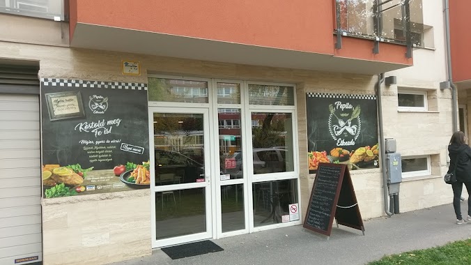
Pepita étkezde
Budapest, Bécsi út 107
Restaurant
read more
901 m
Kerék Vendéglő
Budapest, Bécsi út 103
Restaurant
read more
912 m
Sunny
Budapest, Szentendrei út 36/a
Restaurant
read more
920 m
Happy Facer
Budapest, Bécsi út
Restaurant
read more
976 m
Maharaja
Budapest, Bécsi út 89-91
Restaurant
read more
977 m
Maharaja Indiai Étterem
Budapest, Bécsi út 89
Restaurant
read more
1.175 km
Grillcsirkesütő
Budapest, Bécsi út 154
Restaurant
read more
📑
all categories
Accounting
Administrative area level 1
Administrative area level 2
Airport
Amusement park
Aquarium
Art gallery
Atm
Bakery
Bank
Bar
Beauty salon
Bicycle store
Book store
Bowling alley
Bus station
Cafe
Campground
Car dealer
Car rental
Car repair
Car wash
Casino
Cemetery
Church
City hall
Clothing store
Colloquial area
Convenience store
Country
Courthouse
Dentist
Department store
Doctor
Electrician
Electronics store
Embassy
Finance
Fire station
Florist
Food
Funeral home
Furniture store
Gas station
General contractor
Grocery or supermarket
Gym
Hair care
Hardware store
Health
Hindu Temple
Home goods store
Hospital
Insurance agency
Intersection
Jewelry store
Laundry
Lawyer
Library
Light rail station
Liquor store
Local government office
Locality
Locksmith
Lodging
Meal delivery
Meal takeaway
Mosque
Movie rental
Movie theater
Moving company
Museum
Natural feature
Neighborhood
Night club
Painter
Park
Parking
Pet store
Pharmacy
Physiotherapist
Place of worship
Plumber
Point of interest
Police
Political
Post office
Premise
Real estate agency
Restaurant
Roofing contractor
Route
Rv park, camping
School
Shoe store
Shopping mall
Spa
Stadium
Storage
Store
Subpremise
Subway station
Supermarket
Synagogue
Taxi stand
Train station
Transit station
Travel agency
University
Veterinary care
Zoo
administrative area level 3
sublocality level 1
↑