Restaurant nearby Kinai Büfé
Hungary
Restaurant nearby Kinai Büfé
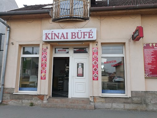
Kinai Büfé
78, Fő út, 2120, Dunakeszi, HU Hungary
contacts phone
:
+36
Latitude:
47.639116
, Longitude:
19.1294809
larger map & directions
read more
nearest Restaurant
29 m
Jun Hong
Dunakeszi, Fő út
Restaurant
read more
70 m
Pizza Pienza
Dunakeszi, Fő út 86
Restaurant
read more
82 m
Portofino Pizzéria
Dunakeszi, 2120, Fő út 70
Restaurant
read more
82 m
Portofino Pizza
Dunakeszi, Krajcár utca 70
Restaurant
read more
84 m
Pancser Pizza és Étterem
Dunakeszi, Fő út 88
Restaurant
read more
153 m
Gyros Kings
Dunakeszi, Fő út 66
Restaurant
read more
170 m
Kotkoda
Dunakeszi
Restaurant
read more
368 m
Kaláka Konyha
Dunakeszi, Casalgrande tér 5220/78, 2-es faház
Restaurant
read more
384 m
Casa Marina Pizzéria és Étterem
Dunakeszi, Fő út
Restaurant
read more
405 m
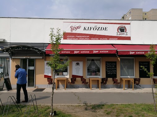
Bőgér Kifőzde
Dunakeszi, Cassalgrande tér
Restaurant
read more
550 m
Lángos Éden
Dunakeszi, Fő út 63
Restaurant
read more
572 m
Napterasz
Dunakeszi, Fillér utca 8
Restaurant
read more
580 m
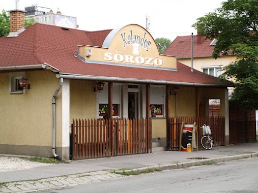
Kalandor Söröző
Dunakeszi, Nap utca 1
Restaurant
read more
598 m
Dunakeszi Gyros
Dunakeszi, Állomás sétány 3
Restaurant
read more
745 m
Pléh Csárda Étterme - Bacsó és Társa Bt.
Dunakeszi, Rákóczi út 15
Restaurant
read more
752 m
PALAMAX Óriáspalacsintázó
Dunakeszi, Madách Imre utca
Restaurant
read more
852 m
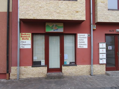
Bakos-betérő
Dunakeszi, Dózsa György tér 15
Restaurant
read more
917 m
Duna Pizzéria
Dunakeszi, Barátság útja 49
Restaurant
read more
1.033 km
Berek Étterem
Dunakeszi, Szent István utca 24
Restaurant
read more
1.092 km
KanyarGó Ételbár
Dunakeszi, Bajcsy-Zsilinszky utca 15
Restaurant
read more
1.353 km
Szulejmán török étterem
Dunakeszi, Fő út 1824
Restaurant
read more
1.463 km
Dolce Vita étterem
Dunakeszi, 2120
Restaurant
read more
1.642 km
Liget Étkezde
Dunakeszi
Restaurant
read more
1.67 km
Boszikonyha
Dunakeszi, Fő út 188
Restaurant
read more
1.877 km
Király pizza
Dunakeszi, Fő út 190
Restaurant
read more
📑
all categories
Accounting
Administrative area level 1
Administrative area level 2
Airport
Amusement park
Aquarium
Art gallery
Atm
Bakery
Bank
Bar
Beauty salon
Bicycle store
Book store
Bowling alley
Bus station
Cafe
Campground
Car dealer
Car rental
Car repair
Car wash
Casino
Cemetery
Church
City hall
Clothing store
Colloquial area
Convenience store
Country
Courthouse
Dentist
Department store
Doctor
Electrician
Electronics store
Embassy
Finance
Fire station
Florist
Food
Funeral home
Furniture store
Gas station
General contractor
Grocery or supermarket
Gym
Hair care
Hardware store
Health
Hindu Temple
Home goods store
Hospital
Insurance agency
Intersection
Jewelry store
Laundry
Lawyer
Library
Light rail station
Liquor store
Local government office
Locality
Locksmith
Lodging
Meal delivery
Meal takeaway
Mosque
Movie rental
Movie theater
Moving company
Museum
Natural feature
Neighborhood
Night club
Painter
Park
Parking
Pet store
Pharmacy
Physiotherapist
Place of worship
Plumber
Point of interest
Police
Political
Post office
Premise
Real estate agency
Restaurant
Roofing contractor
Route
Rv park, camping
School
Shoe store
Shopping mall
Spa
Stadium
Storage
Store
Subpremise
Subway station
Supermarket
Synagogue
Taxi stand
Train station
Transit station
Travel agency
University
Veterinary care
Zoo
administrative area level 3
sublocality level 1
↑