Restaurant nearby KFC Tata
Hungary
Restaurant nearby KFC Tata
KFC Tata
Tata, M1 autópálya, Remeteségi pihenőhely, Tata mellett Hungría
contacts phone
:
+36
Latitude:
47.618007
, Longitude:
18.3412819
read more
nearest Restaurant
2.147 km
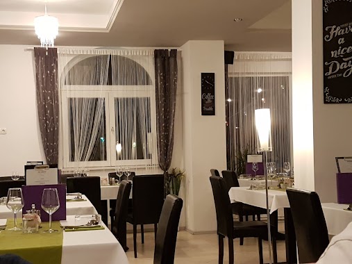
Öreg-Tó Étterem
Tata, Fáklya utca 4
Restaurant
read more
2.189 km
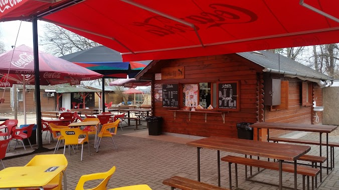
Tibi gyros büfé
Tata, Fáklya utca 8
Restaurant
read more
2.196 km
Morado Cafe & Restaurant
Tata, 2890 e u, Szilágyi Erzsébet utca 167
Restaurant
read more
2.196 km
Szálka Bár
Tata, Fáklya utca 4
Restaurant
read more
2.196 km
Szálka Bár Étterem
Tata, Fáklya utca 4
Restaurant
read more
2.198 km
Szálka Bár
Tata
Restaurant
read more
2.198 km
Szálka étterem
Tata
Restaurant
read more
2.203 km
Vespa-Pizza
Tata, Csongor utca
Restaurant
read more
2.213 km
Fáklya Club Étterem, golfpálya & élménypark
Tata, Fáklya utca 4
Restaurant
read more
2.219 km
Tatai Fa-ló büfé
Tata, Fáklya utca 4
Restaurant
read more
2.266 km
Club Cocoon
Tata, u 2890, Fáklya utca 2
Restaurant
read more
2.302 km
Kürtőskuckó
Tata, Fáklya utca
Restaurant
read more
2.697 km
Zöld Büfé
Tata, Tópart sétány 15
Restaurant
read more
2.698 km
Haluci
Tata, Tópart sétány 15
Restaurant
read more
2.704 km
Fapuma palacsintázó és lángosozó
Tata, Tópart sétány
Restaurant
read more
2.707 km
Rollin' Ice Cream Fagylaltozó
Tata, Építők parkja
Restaurant
read more
2.736 km
Don Salvatore Pizzéria és Étterem
Tata, Építők parkja,
Restaurant
read more
2.741 km
Pikant Restaurant
Tata, Építők parkja 1
Restaurant
read more
2.741 km
Pikant Étterem
Tata, Építők parkja 1
Restaurant
read more
2.823 km
V-Glass Kft.
Tata
Restaurant
read more
2.841 km
Vadgesztenye Restaurant
Tatabánya, Hadsereg utca 131
Restaurant
read more
2.841 km
Vadgesztenye Étterem
Tatabánya, Hadsereg utca 131
Restaurant
read more
3.392 km
Fincsi Büfé
Tata, Kocsi utca 7
Restaurant
read more
3.733 km
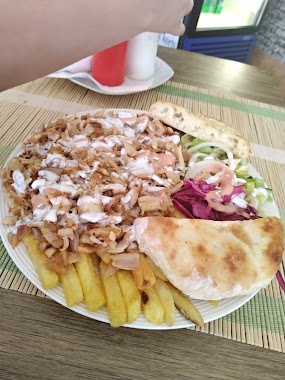
Ali Baba Kebab
Tata, Május 1. út
Restaurant
read more
3.884 km
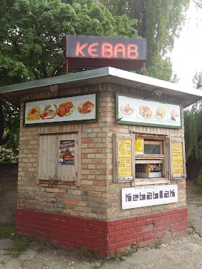
Kebablak
Tata, Váralja utca 4
Restaurant
read more
📑
all categories
Accounting
Administrative area level 1
Administrative area level 2
Airport
Amusement park
Aquarium
Art gallery
Atm
Bakery
Bank
Bar
Beauty salon
Bicycle store
Book store
Bowling alley
Bus station
Cafe
Campground
Car dealer
Car rental
Car repair
Car wash
Casino
Cemetery
Church
City hall
Clothing store
Colloquial area
Convenience store
Country
Courthouse
Dentist
Department store
Doctor
Electrician
Electronics store
Embassy
Finance
Fire station
Florist
Food
Funeral home
Furniture store
Gas station
General contractor
Grocery or supermarket
Gym
Hair care
Hardware store
Health
Hindu Temple
Home goods store
Hospital
Insurance agency
Intersection
Jewelry store
Laundry
Lawyer
Library
Light rail station
Liquor store
Local government office
Locality
Locksmith
Lodging
Meal delivery
Meal takeaway
Mosque
Movie rental
Movie theater
Moving company
Museum
Natural feature
Neighborhood
Night club
Painter
Park
Parking
Pet store
Pharmacy
Physiotherapist
Place of worship
Plumber
Point of interest
Police
Political
Post office
Premise
Real estate agency
Restaurant
Roofing contractor
Route
Rv park, camping
School
Shoe store
Shopping mall
Spa
Stadium
Storage
Store
Subpremise
Subway station
Supermarket
Synagogue
Taxi stand
Train station
Transit station
Travel agency
University
Veterinary care
Zoo
administrative area level 3
sublocality level 1
↑