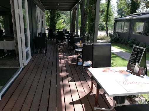
Restaurant nearby Frankie's Food
Hungary
Restaurant nearby Frankie's Food
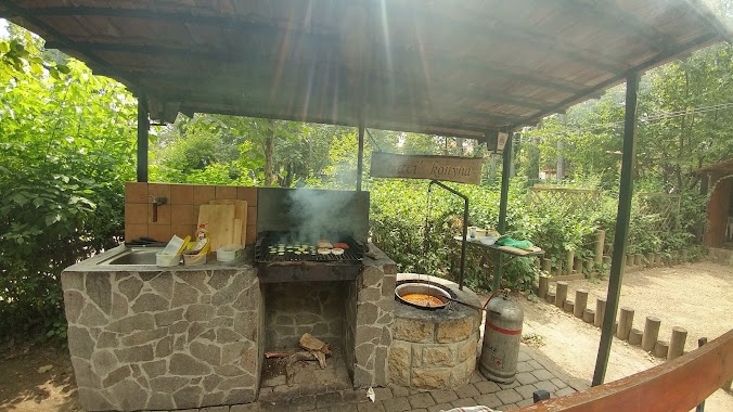
Frankie's Food
Budapest, Nánási út 47-49 Ungarn
contacts phone
:
+36
Latitude:
47.5711069
, Longitude:
19.0621473
read more
nearest Restaurant
23 m
Mad Meat Food and Coffee
Budapest, Nánási út 47-49
Restaurant
read more
48 m
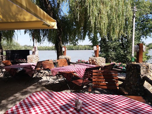
Catania Étterem És Pizzéria
Budapest, Nánási út 49
Restaurant
read more
102 m
Tengeri Halbisztró
Budapest, Drótos utca 3
Restaurant
read more
235 m
Csónakház Mulató
Budapest, Római part 30
Restaurant
read more
255 m
Evezős Bowling Club
Budapest, -34, Római part 33
Restaurant
read more
259 m
Bodega Büfé
Budapest
Restaurant
read more
262 m
Symbol Terrace
Budapest, Római part 29-41
Restaurant
read more
267 m
Római Platán Étterem
Budapest, Római part 18
Restaurant
read more
287 m
Retroburger Római
Budapest, Római part 37
Restaurant
read more
320 m
Szittya pita
Budapest, Római part 12
Restaurant
read more
338 m
Leander Terasz
Budapest, Római part 35
Restaurant
read more
350 m
Római Part Leander Grill és Koktél Terasz
Budapest, Magyarország, Rozgonyi Piroska utca
Restaurant
read more
362 m
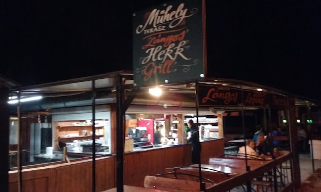
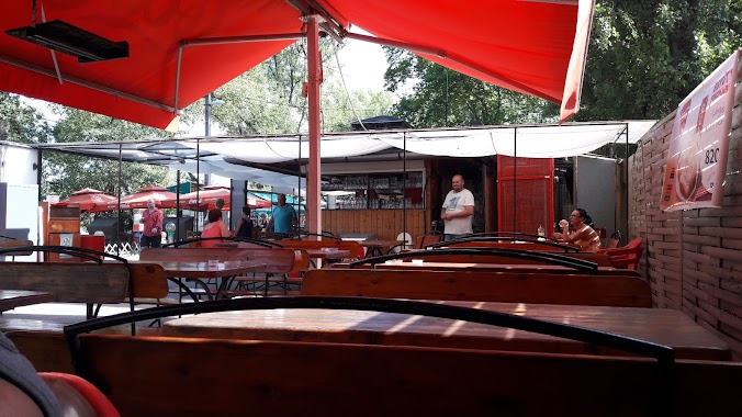
Műhely Grill Terasz
Budapest, Római part 29-41
Restaurant
read more
376 m
Hekkmester
Budapest, Római part 29
Restaurant
read more
386 m
Lángosos
Budapest, Római part 43
Restaurant
read more
459 m
Golyós Bár és Étterem
Budapest, Római part 45
Restaurant
read more
527 m
MOB Pizzéria
Budapest, Monostori út 31
Restaurant
read more
537 m
Allegretto Étterem és Pizzéria Pizza házhozszállítás
Budapest, Monostori út. 31.
Restaurant
read more
551 m
Molo Cafe Étterem
Budapest, Római part
Restaurant
read more
583 m
Platán Étterem És Söröző
Budapest, Nánási út 48
Restaurant
read more
751 m
NAP bácsi
Budapest, Kossuth Lajos üdülőpart 7
Restaurant
read more
861 m
Alexandros Gyros
Budapest, Vízimolnár utca 4
Restaurant
read more
961 m
Faház Sörözö Borozó
Budapest, Római sétány 6.
Restaurant
read more
1.006 km
Ételbár
Budapest, Római tér 2
Restaurant
read more
1.07 km
Aquincum serbüfé
Budapest, Szentendrei út 150
Restaurant
read more
📑
all categories
Accounting
Administrative area level 1
Administrative area level 2
Airport
Amusement park
Aquarium
Art gallery
Atm
Bakery
Bank
Bar
Beauty salon
Bicycle store
Book store
Bowling alley
Bus station
Cafe
Campground
Car dealer
Car rental
Car repair
Car wash
Casino
Cemetery
Church
City hall
Clothing store
Colloquial area
Convenience store
Country
Courthouse
Dentist
Department store
Doctor
Electrician
Electronics store
Embassy
Finance
Fire station
Florist
Food
Funeral home
Furniture store
Gas station
General contractor
Grocery or supermarket
Gym
Hair care
Hardware store
Health
Hindu Temple
Home goods store
Hospital
Insurance agency
Intersection
Jewelry store
Laundry
Lawyer
Library
Light rail station
Liquor store
Local government office
Locality
Locksmith
Lodging
Meal delivery
Meal takeaway
Mosque
Movie rental
Movie theater
Moving company
Museum
Natural feature
Neighborhood
Night club
Painter
Park
Parking
Pet store
Pharmacy
Physiotherapist
Place of worship
Plumber
Point of interest
Police
Political
Post office
Premise
Real estate agency
Restaurant
Roofing contractor
Route
Rv park, camping
School
Shoe store
Shopping mall
Spa
Stadium
Storage
Store
Subpremise
Subway station
Supermarket
Synagogue
Taxi stand
Train station
Transit station
Travel agency
University
Veterinary care
Zoo
administrative area level 3
sublocality level 1
↑