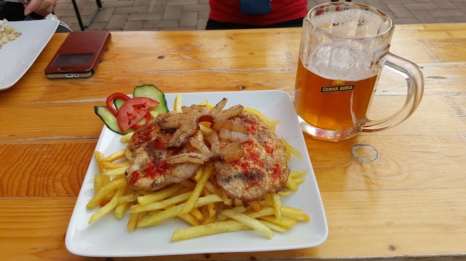
Restaurant nearby Árpád kert
Hungary
Restaurant nearby Árpád kert
Árpád kert
Dunabogdány, Kossuth Lajos út 14 Magyarország
contacts phone
:
+36
Latitude:
47.7912026
, Longitude:
19.0392523
read more
nearest Restaurant
420 m
Tündér Kert Étterem
Dunabogdány, Kossuth Lajos út 53
Restaurant
read more
703 m
Szunyog Büfé
Dunabogdány, Strand utca 93
Restaurant
read more
736 m
Forgó Étterem
Dunabogdány, Strand utca 2
Restaurant
read more
1.675 km
Pisztrángos
Dunabogdány, 2023, Kossuth Lajos út 129
Restaurant
read more
2.017 km
Magyar Golf Club
Kisoroszi, Golf út 1
Restaurant
read more
2.434 km
Holba
Kisoroszi, 1113 147-197
Restaurant
read more
2.584 km
Siam Sea Food Grill
Dunabogdány, Kossuth Lajos út 187
Restaurant
read more
2.665 km
Gondűző
Dunabogdány
Restaurant
read more
2.737 km
Rácz Fogadó
Kisoroszi, Hősök tere 3
Restaurant
read more
2.778 km
Katica Cukrászda
Kisoroszi, Rév utca 3
Restaurant
read more
2.851 km
SÖRÖZŐ-DRÉHER KISOROSZI
Kisoroszi, Széchenyi út 129
Restaurant
read more
2.854 km
SZIGET-TOR KFTSÖRÖZŐ-DRÉHERN KISOROSZI
Kisoroszi, Széchenyi út 133
Restaurant
read more
2.861 km
Sziget Pizza Vendéglő
Kisoroszi, Hősök tere 19-21
Restaurant
read more
3.014 km
Roseland Pihenőkert
Kisoroszi, Szőlő utca 20
Restaurant
read more
3.306 km
Zöld Disznó bisztró
Verőce, Árpád út 2
Restaurant
read more
3.314 km
Barna Party Kisvendéglő
Verőce, Árpád utca 2/b
Restaurant
read more
3.314 km
Barna Party Kisvendéglő
Verőce, Árpád út 2
Restaurant
read more
3.327 km
Sport Pizzéria
Verőce, Árpád út 7
Restaurant
read more
3.435 km
Kifőzde
Verőce, Losonci utca 4
Restaurant
read more
3.732 km
Nagyvillám Étterem
Visegrád
Restaurant
read more
3.753 km
מסעדה בישוב visegardi
Visegrád
Restaurant
read more
4.011 km
Panoráma Étterem
Visegrád, Fekete-hegy 0134 hrsz.
Restaurant
read more
4.449 km
Naszály Tennis Coffee & Bar
Vác, Sánc dűlő
Restaurant
read more
4.831 km
Vár Grill Bár
Visegrád, Fő út 9
Restaurant
read more
5.406 km
Őrház Chill & BBQ
Tahitótfalu, Kemping utca 1
Restaurant
read more
📑
all categories
Accounting
Administrative area level 1
Administrative area level 2
Airport
Amusement park
Aquarium
Art gallery
Atm
Bakery
Bank
Bar
Beauty salon
Bicycle store
Book store
Bowling alley
Bus station
Cafe
Campground
Car dealer
Car rental
Car repair
Car wash
Casino
Cemetery
Church
City hall
Clothing store
Colloquial area
Convenience store
Country
Courthouse
Dentist
Department store
Doctor
Electrician
Electronics store
Embassy
Finance
Fire station
Florist
Food
Funeral home
Furniture store
Gas station
General contractor
Grocery or supermarket
Gym
Hair care
Hardware store
Health
Hindu Temple
Home goods store
Hospital
Insurance agency
Intersection
Jewelry store
Laundry
Lawyer
Library
Light rail station
Liquor store
Local government office
Locality
Locksmith
Lodging
Meal delivery
Meal takeaway
Mosque
Movie rental
Movie theater
Moving company
Museum
Natural feature
Neighborhood
Night club
Painter
Park
Parking
Pet store
Pharmacy
Physiotherapist
Place of worship
Plumber
Point of interest
Police
Political
Post office
Premise
Real estate agency
Restaurant
Roofing contractor
Route
Rv park, camping
School
Shoe store
Shopping mall
Spa
Stadium
Storage
Store
Subpremise
Subway station
Supermarket
Synagogue
Taxi stand
Train station
Transit station
Travel agency
University
Veterinary care
Zoo
administrative area level 3
sublocality level 1
↑