Park nearby Trianon memorial
Hungary
Park nearby Trianon memorial
Trianon memorial
Kőrösi út, 2360, Gyál, HU Węgry
contacts phone
:
+36
website:
www.gyal.hu
Latitude:
47.380089
, Longitude:
19.216381
larger map & directions
read more
nearest Park
430 m
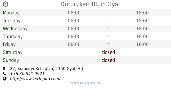
Duruczkert Bt.
Gyál, Somogyi Béla utca 22
Park
read more
1.034 km
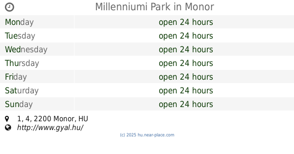
Millenniumi Park
Monor, 47°23'14. 19°12'27., 4 1
Park
read more
1.707 km
Fundy tó
Gyál, Fundy út
Park
read more
1.793 km
Zöldkert Stúdió
Gyál, Gárdonyi Géza utca 82/b
Park
read more
3.412 km
Landmann Hungária
Vecsés, Almáskert út, 4.
Park
read more
3.564 km
Hősök tere
XVIII. kerület
Park
read more
3.864 km
Dózsa György úti sporttelep
Vecsés
Park
read more
4.301 km
Kertcoop.hu
Vecsés, Széchenyi utca 90
Park
read more
4.353 km
Bernikert shop and Webshop
Budapest, Rákóczi utca 30/A
Park
read more
4.353 km
Bernikert Webshop
Budapest, Rákóczi utca 30/A
Park
read more
4.579 km
Kandó tér
Budapest
Park
read more
4.579 km
Kandó tér
Budapeszt
Park
read more
4.72 km
Herrich Károly Square
Budapest
Park
read more
4.72 km
Herrich Károly tér
Budapest
Park
read more
4.851 km
Hét vezér tér
Budapeszt
Park
read more
4.851 km
Hét vezér tér
Budapest
Park
read more
5.185 km
Soroksár Botanical Garden
Budapest, Péteri-major
Park
read more
5.185 km
Botanischer GARTEN - Soroksár
Hungary
Park
read more
5.185 km
Soroksári Botanikuskert
Budapest, Péteri-major
Park
read more
5.224 km
Felsőpakonyi focipálya
Felsőpakony, Géza fejedelem utca
Park
read more
5.224 km
Felsőpakony football field
Felsőpakony, Géza fejedelem utca
Park
read more
5.659 km
UNION parkoló
Vecsés, Fő út 89
Park
read more
5.905 km
Magyar polgári légiközlekedés áldozazainak emlékkműve
Vecsés
Park
read more
6.128 km
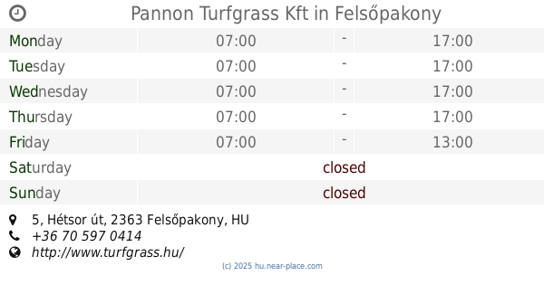
Pannon Turfgrass Kft
Felsőpakony, Hétsor út 5
Park
read more
17.134 km
Nyugdíjasok Kertje
Budapest, Fraknó utca 22
Park
read more
📑
all categories
Accounting
Administrative area level 1
Administrative area level 2
Airport
Amusement park
Aquarium
Art gallery
Atm
Bakery
Bank
Bar
Beauty salon
Bicycle store
Book store
Bowling alley
Bus station
Cafe
Campground
Car dealer
Car rental
Car repair
Car wash
Casino
Cemetery
Church
City hall
Clothing store
Colloquial area
Convenience store
Country
Courthouse
Dentist
Department store
Doctor
Electrician
Electronics store
Embassy
Finance
Fire station
Florist
Food
Funeral home
Furniture store
Gas station
General contractor
Grocery or supermarket
Gym
Hair care
Hardware store
Health
Hindu Temple
Home goods store
Hospital
Insurance agency
Intersection
Jewelry store
Laundry
Lawyer
Library
Light rail station
Liquor store
Local government office
Locality
Locksmith
Lodging
Meal delivery
Meal takeaway
Mosque
Movie rental
Movie theater
Moving company
Museum
Natural feature
Neighborhood
Night club
Painter
Park
Parking
Pet store
Pharmacy
Physiotherapist
Place of worship
Plumber
Point of interest
Police
Political
Post office
Premise
Real estate agency
Restaurant
Roofing contractor
Route
Rv park, camping
School
Shoe store
Shopping mall
Spa
Stadium
Storage
Store
Subpremise
Subway station
Supermarket
Synagogue
Taxi stand
Train station
Transit station
Travel agency
University
Veterinary care
Zoo
administrative area level 3
sublocality level 1
↑