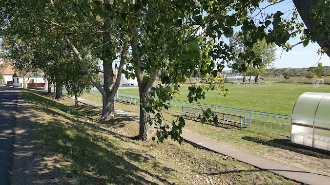
Park nearby Káponka, Buják
Hungary
Park nearby Káponka, Buják
Káponka, Buják
Buják, Külterület Hungary
contacts phone
:
+36
Latitude:
47.8886472
, Longitude:
19.5418499
read more
nearest Park
1.161 km
Bujáki focipálya
Buják
Park
read more
4.034 km
I. világháborus emlékmü
Bér
Park
read more
8.275 km
Kisbágyoni focipálya
Kisbágyon
Park
read more
10.272 km
Egyházasdengeleg Sportpálya
Egyházasdengeleg, Sport út 24
Park
read more
10.545 km
Eleventáj Mūhely
Bercel, Unnamed Road
Park
read more
10.663 km
Palotási focipálya
Palotás
Park
read more
10.733 km
Gólya Televízió/Gólya Park
Bercel, Gácsi út 25
Park
read more
10.744 km
Herencsényi focipálya
Herencsény
Park
read more
11.443 km
Pásztói focipálya
Pásztó
Park
read more
11.73 km
Eastern Canary Protected Area
Hungary
Park
read more
11.941 km
Galgagutai focipálya
Galgaguta
Park
read more
12.65 km
PAJTAKERT
Hollókő, Kossuth utca 46
Park
read more
12.682 km
Héhalomi focipálya
Héhalom
Park
read more
12.708 km
Hollókő, Kertek-alja tanösvény
Hollókő, Kossuth utca 53
Park
read more
13.037 km
Cserhátsurányi focipálya
Cserhátsurány
Park
read more
14.892 km
Nagy Koncsur Nyereg
Szurdokpüspöki
Park
read more
15.483 km
Apci focipálya
Apc
Park
read more
16.17 km
Acsai focipálya
Acsa
Park
read more
16.665 km
Warm water source
Sámsonháza, Kossuth út
Park
read more
16.697 km
Magyarnándori focipálya
Magyarnándor
Park
read more
17.39 km
Árpád úti sporttelep
Lőrinci
Park
read more
17.886 km
Jatszoter
Püspökhatvan, Szabadság utca 103
Park
read more
18.438 km
Világháborús, A Bányászat hőseinek, és az1956-os Forradalom Enlékműve
Rózsaszentmárton, Apci út 1
Park
read more
19.073 km
Petőfibányai focipálya
Petőfibánya
Park
read more
30.415 km
Üvegfúvók Szoborcsoport
Salgótarján, Úttörők út 1
Park
read more
📑
all categories
Accounting
Administrative area level 1
Administrative area level 2
Airport
Amusement park
Aquarium
Art gallery
Atm
Bakery
Bank
Bar
Beauty salon
Bicycle store
Book store
Bowling alley
Bus station
Cafe
Campground
Car dealer
Car rental
Car repair
Car wash
Casino
Cemetery
Church
City hall
Clothing store
Colloquial area
Convenience store
Country
Courthouse
Dentist
Department store
Doctor
Electrician
Electronics store
Embassy
Finance
Fire station
Florist
Food
Funeral home
Furniture store
Gas station
General contractor
Grocery or supermarket
Gym
Hair care
Hardware store
Health
Hindu Temple
Home goods store
Hospital
Insurance agency
Intersection
Jewelry store
Laundry
Lawyer
Library
Light rail station
Liquor store
Local government office
Locality
Locksmith
Lodging
Meal delivery
Meal takeaway
Mosque
Movie rental
Movie theater
Moving company
Museum
Natural feature
Neighborhood
Night club
Painter
Park
Parking
Pet store
Pharmacy
Physiotherapist
Place of worship
Plumber
Point of interest
Police
Political
Post office
Premise
Real estate agency
Restaurant
Roofing contractor
Route
Rv park, camping
School
Shoe store
Shopping mall
Spa
Stadium
Storage
Store
Subpremise
Subway station
Supermarket
Synagogue
Taxi stand
Train station
Transit station
Travel agency
University
Veterinary care
Zoo
administrative area level 3
sublocality level 1
↑