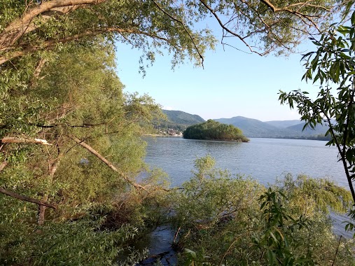
Park nearby Havanna-forrás
Hungary
Park nearby Havanna-forrás
Havanna-forrás
Nagymaros, 2626 Magyarország
contacts phone
:
+36
website:
turistautak.hu
Latitude:
47.8326853
, Longitude:
18.9443913
larger map & directions
read more
nearest Park
3.723 km
Sárkány domb
Zebegény, Orgona út 11
Park
read more
4.046 km
Silent Hill Zebegény
Zebegény, Akácdomb
Park
read more
4.395 km
soldier graves
Zebegény, Bartóky József út 5
Park
read more
4.417 km
Favágás, veszélyes fák kivágása alpin-technikával, Telektisztítás, Kertimunka
Kismaros, Szokolyai út 114
Park
read more
4.507 km
Napraforgó Babapark
Zebegény
Park
read more
4.583 km
Öko-Kert Bt
Nagymaros, Király utca
Park
read more
4.693 km
Nepomuki Szent János Szobor
Kismaros, Dózsa György út 19
Park
read more
4.812 km
Dunapart
Nagymaros, Mainzi utca 2
Park
read more
4.821 km
Görgey lépcső
Visegrád
Park
read more
4.891 km
Mátyás király mellszobra
Visegrád, Fő utca 2
Park
read more
5.084 km
Köztársaság téri park
Kismaros, Dózsa György út 2
Park
read more
5.142 km
Görgey-bérc
Visegrád
Park
read more
5.442 km
Mogyoróhegyi Természetismereti Tanösvény
Visegrád
Park
read more
9.26 km
Rám-szakadék
Dömös
Park
read more
10.431 km
Spartacus-ösvény
Visegrád
Park
read more
10.437 km
Apát-Kúti Völgy (piros jelzésű turista útvonal)
Pilisszentlászló, Apát-Kúti Völgy
Park
read more
12.187 km
Ipoly Erdő Zrt.
Szendehely, Vàc Bàtori utca 1
Park
read more
12.287 km
Katalinpusztai kirándulóközpont
Szendehely, Vàc Bàtori utca 1
Park
read more
12.343 km
Spartacus-forrás
Perőcsény, 2637
Park
read more
12.581 km
Maróti-hegyek gerincén
Esztergom, Unnamed Road,
Park
read more
12.951 km
Thirring Körút
Pilisszentkereszt, Eötvös Lóránd utca 4
Park
read more
12.961 km
Bárány-bérc
Diósjenő
Park
read more
13.634 km
Hétvályús Forrás
Tahitótfalu
Park
read more
14.86 km
I. világháborús emlékmű
Vác, Március 15. tér 7
Park
read more
17.949 km
Lome Store
Rétság, Zrínyi utca 3
Park
read more
📑
all categories
Accounting
Administrative area level 1
Administrative area level 2
Airport
Amusement park
Aquarium
Art gallery
Atm
Bakery
Bank
Bar
Beauty salon
Bicycle store
Book store
Bowling alley
Bus station
Cafe
Campground
Car dealer
Car rental
Car repair
Car wash
Casino
Cemetery
Church
City hall
Clothing store
Colloquial area
Convenience store
Country
Courthouse
Dentist
Department store
Doctor
Electrician
Electronics store
Embassy
Finance
Fire station
Florist
Food
Funeral home
Furniture store
Gas station
General contractor
Grocery or supermarket
Gym
Hair care
Hardware store
Health
Hindu Temple
Home goods store
Hospital
Insurance agency
Intersection
Jewelry store
Laundry
Lawyer
Library
Light rail station
Liquor store
Local government office
Locality
Locksmith
Lodging
Meal delivery
Meal takeaway
Mosque
Movie rental
Movie theater
Moving company
Museum
Natural feature
Neighborhood
Night club
Painter
Park
Parking
Pet store
Pharmacy
Physiotherapist
Place of worship
Plumber
Point of interest
Police
Political
Post office
Premise
Real estate agency
Restaurant
Roofing contractor
Route
Rv park, camping
School
Shoe store
Shopping mall
Spa
Stadium
Storage
Store
Subpremise
Subway station
Supermarket
Synagogue
Taxi stand
Train station
Transit station
Travel agency
University
Veterinary care
Zoo
administrative area level 3
sublocality level 1
↑