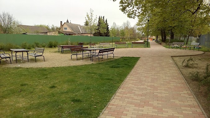
Park nearby Dabasi focipálya
Hungary
Park nearby Dabasi focipálya
Dabasi focipálya
Dabas Magyarország
contacts phone
:
+36
Latitude:
47.2183396
, Longitude:
19.2641313
read more
nearest Park
4.029 km
Ócsai Landscape Protection Area
Ócsa, Unnamed Road
Park
read more
4.029 km
Ócsai Tájvédelmi Körzet
Ócsa, Unnamed Road
Park
read more
5.169 km
Parkoló
Dabas, Szent István út 41
Park
read more
5.182 km
Jubileumi Park
Dabas, park utca 2
Park
read more
5.184 km
Dabasi sporttelep
Dabas
Park
read more
5.209 km
DBS Skatepark
Dabas, Iskola utca 3
Park
read more
5.627 km
Kegyeleti park
Dabas, Zlinszky utca 2
Park
read more
5.743 km
Czeróczki Díszfaiskola
Dabas, Bartók Béla út 99
Park
read more
6.143 km
Selyem-réti tanösvény
Ócsa, 52104
Park
read more
6.486 km
Szent György emlékpark
Inárcs
Park
read more
6.541 km
Kamasz Park
Inárcs, Dózsa tér 1
Park
read more
6.541 km
teenager Park
Inárcs, Dózsa tér 1
Park
read more
6.557 km
Inárcsi focipálya
Inárcs
Park
read more
6.877 km
Felsőbabád tanyák
Ócsa
Park
read more
8.485 km
Bugyi focipálya
Bugyi
Park
read more
8.546 km
BARIZS KERT KFT
Ócsa, Kiss János utca 1/H
Park
read more
8.804 km
Ócsai focipálya
Ócsa
Park
read more
12.66 km
Halászy Károly utcai sporttelep
Alsónémedi
Park
read more
12.781 km
Csévharaszti borókás Természetvédelmi terület
Csévharaszt
Park
read more
13.232 km
Felsőpakonyi focipálya
Felsőpakony, Géza fejedelem utca
Park
read more
13.232 km
Felsőpakony football field
Felsőpakony, Géza fejedelem utca
Park
read more
18.879 km
Barátság Park
Monor
Park
read more
18.879 km
friendship Park
Monor
Park
read more
19.642 km
Memorial Park Funeral
Dunaharaszti, Baktay Ervin utca 13
Park
read more
20.088 km
Park
Monor, Kossuth Lajos utca 81
Park
read more
📑
all categories
Accounting
Administrative area level 1
Administrative area level 2
Airport
Amusement park
Aquarium
Art gallery
Atm
Bakery
Bank
Bar
Beauty salon
Bicycle store
Book store
Bowling alley
Bus station
Cafe
Campground
Car dealer
Car rental
Car repair
Car wash
Casino
Cemetery
Church
City hall
Clothing store
Colloquial area
Convenience store
Country
Courthouse
Dentist
Department store
Doctor
Electrician
Electronics store
Embassy
Finance
Fire station
Florist
Food
Funeral home
Furniture store
Gas station
General contractor
Grocery or supermarket
Gym
Hair care
Hardware store
Health
Hindu Temple
Home goods store
Hospital
Insurance agency
Intersection
Jewelry store
Laundry
Lawyer
Library
Light rail station
Liquor store
Local government office
Locality
Locksmith
Lodging
Meal delivery
Meal takeaway
Mosque
Movie rental
Movie theater
Moving company
Museum
Natural feature
Neighborhood
Night club
Painter
Park
Parking
Pet store
Pharmacy
Physiotherapist
Place of worship
Plumber
Point of interest
Police
Political
Post office
Premise
Real estate agency
Restaurant
Roofing contractor
Route
Rv park, camping
School
Shoe store
Shopping mall
Spa
Stadium
Storage
Store
Subpremise
Subway station
Supermarket
Synagogue
Taxi stand
Train station
Transit station
Travel agency
University
Veterinary care
Zoo
administrative area level 3
sublocality level 1
↑