Park nearby Bucsu közlekedési emlékhely
Hungary
Park nearby Bucsu közlekedési emlékhely
Bucsu közlekedési emlékhely
Bucsu Hungary
contacts phone
:
+36
Latitude:
47.2482674
, Longitude:
16.497519
read more
nearest Park
3.227 km
Toronyi focipálya
Torony
Park
read more
6.141 km
Illés Akadémia műfüves pálya
Szombathely
Park
read more
7.464 km
new-zooamstaffkennel
Nárai, 11, Sólyom utca
Park
read more
8.06 km
Bozsoki focipálya
Bozsok
Park
read more
8.268 km
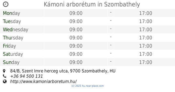
NAIK ERTI Kámoni Arborétum
Szombathely, Szent Imre herceg utca 84/B
Park
read more
8.268 km
Kámoni arborétum
Szombathely, Szent Imre herceg utca 84/B
Park
read more
8.343 km
Kenderesi utcai Sporttelep
Szombathely
Park
read more
8.398 km
Ezredévi park
Szombathely
Park
read more
8.617 km
Zolla Kft.
Szombathely, Rohonci út 10
Park
read more
8.917 km
Károlyi Gáspár tér
Szombathely
Park
read more
9.142 km
Evangélikusok tere
Szombathely
Park
read more
9.598 km
Main Square Fountain
Szombathely, Fő tér
Park
read more
9.598 km
Fő téri szökőkút
Szombathely, Fő tér
Park
read more
9.806 km
Múzeum-park
Szombathely
Park
read more
10.087 km
Brenner park
Szombathely
Park
read more
10.147 km
Kresz- Park
Szombathely, Szent Flórián körút 9
Park
read more
10.336 km
Gyöngyösfalui focipálya
Gyöngyösfalu
Park
read more
10.993 km
Boróka villa, apartman házak, szállás, kiadó szállás, vendégház, pihenőhely
Velem, Guba utca 30
Park
read more
11.495 km
Építők Sporttelep
Szombathely
Park
read more
12.227 km
Cáki focipálya
Cák
Park
read more
12.657 km
Hörmann-forrás
Kőszeg
Park
read more
12.8 km
Kendig-tető
Kőszegi-hegység,
Park
read more
13.53 km
Pusztacsói temető
Pusztacsó
Park
read more
13.847 km
Szent László Park
Szombathely
Park
read more
14.629 km
Balogunyomi focipálya
Balogunyom
Park
read more
📑
all categories
Accounting
Administrative area level 1
Administrative area level 2
Airport
Amusement park
Aquarium
Art gallery
Atm
Bakery
Bank
Bar
Beauty salon
Bicycle store
Book store
Bowling alley
Bus station
Cafe
Campground
Car dealer
Car rental
Car repair
Car wash
Casino
Cemetery
Church
City hall
Clothing store
Colloquial area
Convenience store
Country
Courthouse
Dentist
Department store
Doctor
Electrician
Electronics store
Embassy
Finance
Fire station
Florist
Food
Funeral home
Furniture store
Gas station
General contractor
Grocery or supermarket
Gym
Hair care
Hardware store
Health
Hindu Temple
Home goods store
Hospital
Insurance agency
Intersection
Jewelry store
Laundry
Lawyer
Library
Light rail station
Liquor store
Local government office
Locality
Locksmith
Lodging
Meal delivery
Meal takeaway
Mosque
Movie rental
Movie theater
Moving company
Museum
Natural feature
Neighborhood
Night club
Painter
Park
Parking
Pet store
Pharmacy
Physiotherapist
Place of worship
Plumber
Point of interest
Police
Political
Post office
Premise
Real estate agency
Restaurant
Roofing contractor
Route
Rv park, camping
School
Shoe store
Shopping mall
Spa
Stadium
Storage
Store
Subpremise
Subway station
Supermarket
Synagogue
Taxi stand
Train station
Transit station
Travel agency
University
Veterinary care
Zoo
administrative area level 3
sublocality level 1
↑