Night club nearby Szent Orbán tér
Hungary
Night club nearby Szent Orbán tér
Szent Orbán tér
Monor Hungary
contacts phone
:
+36
Latitude:
47.3689515
, Longitude:
19.4451463
read more
nearest Night club
309 m
Cellar Club
Monor
Night club
read more
503 m
Bokros Borozó
Monor, Unnamed Road
Night club
read more
606 m
Major József Pincéje
Monor
Night club
read more
1.186 km
kerbor Tóth Mariann pincészete
Monor
Night club
read more
1.979 km
Dzsungel Sóbarlang
Monor
Night club
read more
6.411 km
Üllői focipálya
Üllő, Dóra Sándor körút 47
Night club
read more
6.508 km
Civilház (Integrált Közösségi és Szolgáltató Tér)
Gomba, Kossuth Lajos tér 4
Night club
read more
6.572 km
Tanyasi Horgásztó és Vendégház
Mende
Night club
read more
6.636 km
Csutortoki Jatszoter
Gyömrő, Klapka utca 50
Night club
read more
7.409 km
Party Camping - Monorierdő
Monorierdő, Szárazhegyi út
Night club
read more
12.519 km
Sülysáp Horgásztavak
Patak, Sápi-
Night club
read more
13.295 km
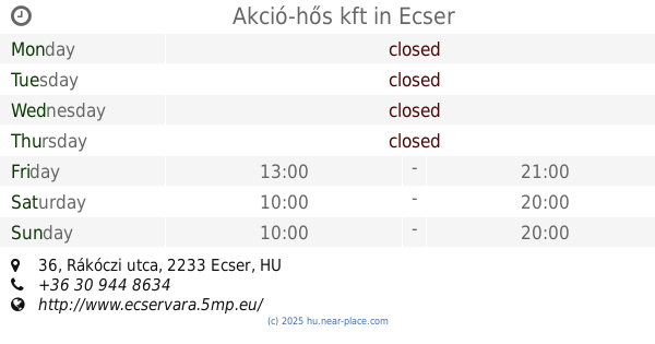
Akció-hős kft
Ecser, Rákóczi utca 36
Night club
read more
13.537 km
Battle Of The Year Hungary
Vecsés, Fő út 101
Night club
read more
13.912 km
Magdolna horgásztó
Tápiószecső
Night club
read more
14.215 km
Weboldal készítés
Budapest, Postamester utca 66
Night club
read more
14.984 km
Rácz Tanya
Ócsa
Night club
read more
15.277 km
Cirkusz Tér.
Vecsés, Széchenyi utca 10
Night club
read more
15.589 km
SkyCourt Lounge
Budapest
Night club
read more
15.75 km
Díszállat Horgászcikk Pécel Baross u.2
Pécel, Baross utca 2
Night club
read more
15.756 km
Sörfőzés
Budapest, Strázsahegy utca 49
Night club
read more
16.649 km
Zrínyi Söröző - Borozó
Budapest, Zrínyi utca 86
Night club
read more
16.655 km
PAJTA az élményhely
Budapest, Pajta utca 42
Night club
read more
17.418 km
Játszótér
Budapest, Göcsej utca 29
Night club
read more
18.797 km
Rákosmente - Nyilastábla
Budapest
Night club
read more
19.287 km
Erzsébet téri játszótér
Albertirsa, Köztársaság utca 24
Night club
read more
📑
all categories
Accounting
Administrative area level 1
Administrative area level 2
Airport
Amusement park
Aquarium
Art gallery
Atm
Bakery
Bank
Bar
Beauty salon
Bicycle store
Book store
Bowling alley
Bus station
Cafe
Campground
Car dealer
Car rental
Car repair
Car wash
Casino
Cemetery
Church
City hall
Clothing store
Colloquial area
Convenience store
Country
Courthouse
Dentist
Department store
Doctor
Electrician
Electronics store
Embassy
Finance
Fire station
Florist
Food
Funeral home
Furniture store
Gas station
General contractor
Grocery or supermarket
Gym
Hair care
Hardware store
Health
Hindu Temple
Home goods store
Hospital
Insurance agency
Intersection
Jewelry store
Laundry
Lawyer
Library
Light rail station
Liquor store
Local government office
Locality
Locksmith
Lodging
Meal delivery
Meal takeaway
Mosque
Movie rental
Movie theater
Moving company
Museum
Natural feature
Neighborhood
Night club
Painter
Park
Parking
Pet store
Pharmacy
Physiotherapist
Place of worship
Plumber
Point of interest
Police
Political
Post office
Premise
Real estate agency
Restaurant
Roofing contractor
Route
Rv park, camping
School
Shoe store
Shopping mall
Spa
Stadium
Storage
Store
Subpremise
Subway station
Supermarket
Synagogue
Taxi stand
Train station
Transit station
Travel agency
University
Veterinary care
Zoo
administrative area level 3
sublocality level 1
↑