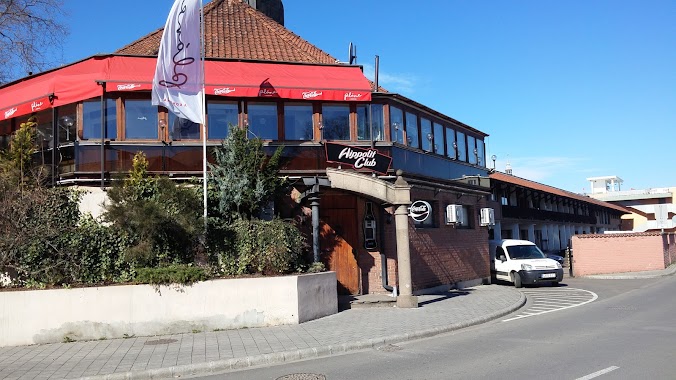
Night club nearby Bajzát Teréz
Hungary
Night club nearby Bajzát Teréz
Bajzát Teréz
Mezőkövesd, Mátyás király utca 157 Hungary
contacts phone
:
+36
Latitude:
47.809781
, Longitude:
20.5717848
read more
nearest Night club
351 m
Movie Club
Mezőkövesd, Mátyás király út 105
Night club
read more
4.119 km
ÉRTÉKŐRZÉS
Mezőkövesd, Olajfa út 1
Night club
read more
4.889 km
Klementina Lovastanya
Mezőkövesd
Night club
read more
10.658 km
Bacardi Söröző
Egerlövő, Petőfi út 7
Night club
read more
10.658 km
Bacardi Söröző
Szentistván, Petőfi út 7
Night club
read more
11.763 km
Sport Büfé
Bükkábrány, Puskin út 5
Night club
read more
12.146 km
Borozó
Mezőtárkány, Kossuth út 34
Night club
read more
12.564 km
Horgásztò Bogáncs
Bogács, 2504
Night club
read more
12.764 km
Cirmi Földje
Mezőnagymihály, 3305
Night club
read more
13.486 km
Füzesabony Közpark
Füzesabony
Night club
read more
13.696 km
Fehér Akác Presszó
Borsodivánka, Szabadság út 2
Night club
read more
14.892 km
Roli Pincészet
Eger, Tihamérszereda
Night club
read more
15.203 km
Gazsi Pince
Noszvaj, Mátyás tér
Night club
read more
16.1 km
Besenyőtelki Horgásztó
Besenyőtelek, 3373 Liget utca
Night club
read more
16.525 km
Rock Cafe
Eger, Sas utca 6
Night club
read more
17.319 km
Liget Dance Hall
Eger, Érsekkert 1
Night club
read more
17.455 km
Lilliom Masszázs szalon
Eger, Deák Ferenc utca 19
Night club
read more
17.455 km
Lillian massage parlor
Eger, Deák Ferenc utca 19
Night club
read more
17.548 km
Leonardo Dance Bar
Eger, Klapka György utca 8
Night club
read more
17.743 km
Bíboros
Eger, Bajcsy-Zsilinszky Endre 6
Night club
read more
17.787 km
Eger Árva Köz
Eger, Dobó István tér 4
Night club
read more
17.8 km
OrangeSegway
Eger, Dobó István tér
Night club
read more
18.009 km
RageRoom
Eger, Széchenyi István utca 14
Night club
read more
18.042 km
Hippolit Club
Eger, Katona István tér 2
Night club
read more
18.808 km
Ilcsi Naturkozmetika
Eger, Cifrakapu utca 128
Night club
read more
📑
all categories
Accounting
Administrative area level 1
Administrative area level 2
Airport
Amusement park
Aquarium
Art gallery
Atm
Bakery
Bank
Bar
Beauty salon
Bicycle store
Book store
Bowling alley
Bus station
Cafe
Campground
Car dealer
Car rental
Car repair
Car wash
Casino
Cemetery
Church
City hall
Clothing store
Colloquial area
Convenience store
Country
Courthouse
Dentist
Department store
Doctor
Electrician
Electronics store
Embassy
Finance
Fire station
Florist
Food
Funeral home
Furniture store
Gas station
General contractor
Grocery or supermarket
Gym
Hair care
Hardware store
Health
Hindu Temple
Home goods store
Hospital
Insurance agency
Intersection
Jewelry store
Laundry
Lawyer
Library
Light rail station
Liquor store
Local government office
Locality
Locksmith
Lodging
Meal delivery
Meal takeaway
Mosque
Movie rental
Movie theater
Moving company
Museum
Natural feature
Neighborhood
Night club
Painter
Park
Parking
Pet store
Pharmacy
Physiotherapist
Place of worship
Plumber
Point of interest
Police
Political
Post office
Premise
Real estate agency
Restaurant
Roofing contractor
Route
Rv park, camping
School
Shoe store
Shopping mall
Spa
Stadium
Storage
Store
Subpremise
Subway station
Supermarket
Synagogue
Taxi stand
Train station
Transit station
Travel agency
University
Veterinary care
Zoo
administrative area level 3
sublocality level 1
↑