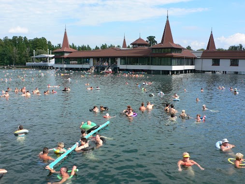
Locality nearby Keszthely
Coronavirus disease (COVID-19) Situation
confirmed cases
2230232
deaths
49048
Hungary
Locality nearby Keszthely
Keszthely
Keszthely, 8360 Magyarország
contacts phone
:
+36
Latitude:
46.7654716
, Longitude:
17.2479554
larger map & directions
read more
nearest Locality
2.977 km
Gyenesdiás
Gyenesdiás
Locality
read more
5.144 km
Vonyarcvashegy
Vonyarcvashegy
Locality
read more
5.419 km
Hévíz
Hévíz
Locality
read more
5.799 km
Alsópáhok
Alsópáhok
Locality
read more
14.117 km
Kehidakustány
Kehidakustány
Locality
read more
15.847 km
Zalaszentlászló
Zalaszentlászló
Locality
read more
15.913 km
Szentpéterúr
Szentpéterúr
Locality
read more
18.294 km
Zalaigrice
Zalaigrice
Locality
read more
22.927 km
Nemessándorháza
Nemessándorháza
Locality
read more
23.304 km
Zalaszentmihály
Zalaszentmihály
Locality
read more
23.327 km
Nemesszentandrás
Nemesszentandrás
Locality
read more
24.828 km
Pölöske
Pölöske
Locality
read more
28.089 km
Alibánfa
Alibánfa
Locality
read more
34.936 km
Pusztakovácsi
Pusztakovácsi
Locality
read more
36.286 km
Babosdöbréte
Babosdöbréte
Locality
read more
38.6 km
Homokkomárom
Homokkomárom
Locality
read more
41.025 km
Böhönye
Böhönye
Locality
read more
52.918 km
Sótony
Sótony
Locality
read more
55.999 km
Ikervár
Ikervár
Locality
read more
56.742 km
Körmend
Körmend
Locality
read more
57.494 km
Nemesvámos
Nemesvámos
Locality
read more
58.343 km
Kaposújlak
Kaposújlak
Locality
read more
59.049 km
Bárdudvarnok
Bárdudvarnok
Locality
read more
59.759 km
Egyházasrádóc
Egyházasrádóc
Locality
read more
61.633 km
Kaposvár
Kaposvár
Locality
read more
📑
all categories
Accounting
Administrative area level 1
Administrative area level 2
Airport
Amusement park
Aquarium
Art gallery
Atm
Bakery
Bank
Bar
Beauty salon
Bicycle store
Book store
Bowling alley
Bus station
Cafe
Campground
Car dealer
Car rental
Car repair
Car wash
Casino
Cemetery
Church
City hall
Clothing store
Colloquial area
Convenience store
Country
Courthouse
Dentist
Department store
Doctor
Electrician
Electronics store
Embassy
Finance
Fire station
Florist
Food
Funeral home
Furniture store
Gas station
General contractor
Grocery or supermarket
Gym
Hair care
Hardware store
Health
Hindu Temple
Home goods store
Hospital
Insurance agency
Intersection
Jewelry store
Laundry
Lawyer
Library
Light rail station
Liquor store
Local government office
Locality
Locksmith
Lodging
Meal delivery
Meal takeaway
Mosque
Movie rental
Movie theater
Moving company
Museum
Natural feature
Neighborhood
Night club
Painter
Park
Parking
Pet store
Pharmacy
Physiotherapist
Place of worship
Plumber
Point of interest
Police
Political
Post office
Premise
Real estate agency
Restaurant
Roofing contractor
Route
Rv park, camping
School
Shoe store
Shopping mall
Spa
Stadium
Storage
Store
Subpremise
Subway station
Supermarket
Synagogue
Taxi stand
Train station
Transit station
Travel agency
University
Veterinary care
Zoo
administrative area level 3
sublocality level 1
↑