Gym nearby Street Workout Park
Hungary
Gym nearby Street Workout Park
Street Workout Park
Leányfalu, 2016 Hungary
contacts phone
:
+36
Latitude:
47.7170042
, Longitude:
19.0911735
larger map & directions
read more
nearest Gym
243 m
Public beach
Leányfalu, Petőfi sétány 23
Gym
read more
3.528 km
Grey Fitness
Sződliget, Pesti út 076/20
Gym
read more
3.576 km
Berjoe Gym
Sződ, Pesti út 076/20
Gym
read more
3.877 km
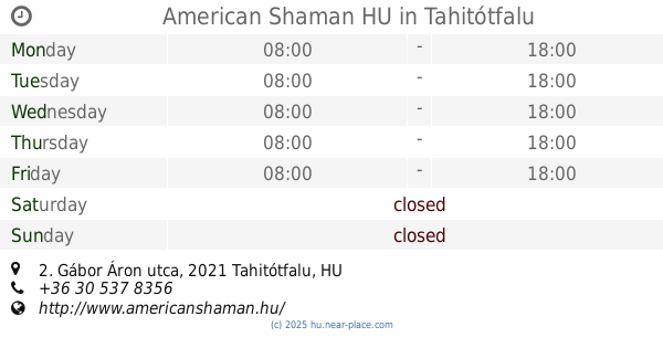
American Shaman HU
Tahitótfalu, Gábor Áron utca 2
Gym
read more
3.923 km
Pilisi kerékpárutak
Szentendre
Gym
read more
4.393 km
Mozgás meg más stúdió
Göd, Köztársaság út 14
Gym
read more
4.559 km
House of WODS
Vác, Horgásztói utca 1
Gym
read more
4.771 km
Baba-mama torna Göd
Göd, 4, Szabadságharcosok útja
Gym
read more
4.791 km
Pilates Studio
Dunakeszi, IV Béla Király Tér 1
Gym
read more
4.809 km
Aviva Módszer Tréning Szentendre
Szentendre, Ady Endre út 4
Gym
read more
5.002 km
ÁRAMLÁSBAN Életmód és Egészség Központ
Göd, Nádirigó utca 19.
Gym
read more
5.339 km
John Cseri
Göd, Pesti út 44
Gym
read more
5.547 km
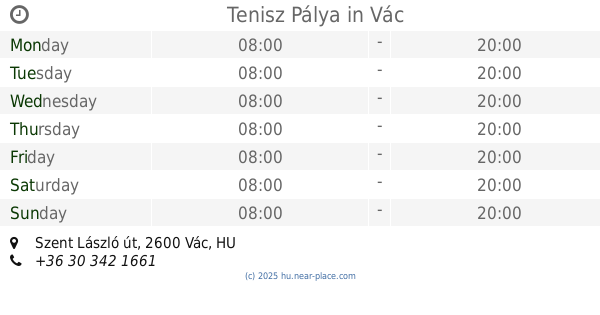
Tenisz Pálya
Vác, Szent László út
Gym
read more
7.183 km
Harmónia Jógastúdió Vác
Vác, Rév köz 2
Gym
read more
7.737 km
Nexon
Dunakeszi, Fő út 145
Gym
read more
9.882 km
Energy Zone Mozgásstudió és Sóbarlang
Pomáz, Gyöngyvirág u 37
Gym
read more
10.006 km
Dunapart Spinning
Dunakeszi, Fő út 14
Gym
read more
10.259 km
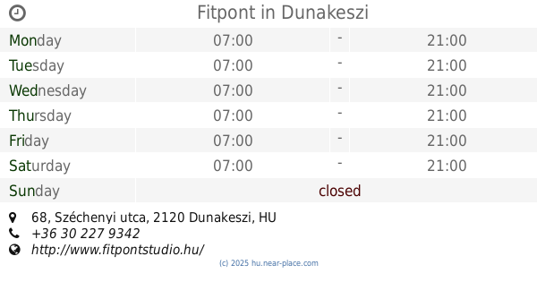
Fitpont
Dunakeszi, Széchenyi utca 68
Gym
read more
10.447 km
Defendo Dunakeszi
Dunakeszi, Vasút utca 11
Gym
read more
11.38 km
Kalászi Sóbarlang - Ceragem Masszázs
Budakalász, Budai út 26
Gym
read more
11.38 km
Kalászi Sóbarlang - Ceragem Gyógymasszázs
Budakalász, Budai út 26/A
Gym
read more
12.962 km
X1 Gym&Fitness
Fót, Keleti Márton utca 7
Gym
read more
13.846 km
Beauty Shape Alakformáló Stúdió
Budapest, Pünkösdfürdő utca 52
Gym
read more
14.682 km
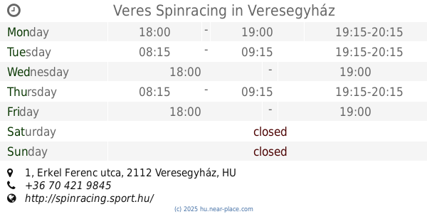
Veres Spinracing
Veresegyház, Erkel Ferenc utca 1
Gym
read more
15.451 km
Tenisz pálya
Nagymaros, Kóspallagi út 185
Gym
read more
📑
all categories
Accounting
Administrative area level 1
Administrative area level 2
Airport
Amusement park
Aquarium
Art gallery
Atm
Bakery
Bank
Bar
Beauty salon
Bicycle store
Book store
Bowling alley
Bus station
Cafe
Campground
Car dealer
Car rental
Car repair
Car wash
Casino
Cemetery
Church
City hall
Clothing store
Colloquial area
Convenience store
Country
Courthouse
Dentist
Department store
Doctor
Electrician
Electronics store
Embassy
Finance
Fire station
Florist
Food
Funeral home
Furniture store
Gas station
General contractor
Grocery or supermarket
Gym
Hair care
Hardware store
Health
Hindu Temple
Home goods store
Hospital
Insurance agency
Intersection
Jewelry store
Laundry
Lawyer
Library
Light rail station
Liquor store
Local government office
Locality
Locksmith
Lodging
Meal delivery
Meal takeaway
Mosque
Movie rental
Movie theater
Moving company
Museum
Natural feature
Neighborhood
Night club
Painter
Park
Parking
Pet store
Pharmacy
Physiotherapist
Place of worship
Plumber
Point of interest
Police
Political
Post office
Premise
Real estate agency
Restaurant
Roofing contractor
Route
Rv park, camping
School
Shoe store
Shopping mall
Spa
Stadium
Storage
Store
Subpremise
Subway station
Supermarket
Synagogue
Taxi stand
Train station
Transit station
Travel agency
University
Veterinary care
Zoo
administrative area level 3
sublocality level 1
↑