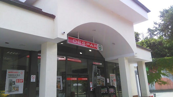
Gas station nearby MOL Benzinkút
Hungary
Gas station nearby MOL Benzinkút
MOL Benzinkút
Piliscsaba, Fő út 10-es Węgry
contacts phone
:
+36
Latitude:
47.628395
, Longitude:
18.851946
read more
nearest Gas station
MOL
Piliscsaba, Fő út 10-es
Gas station
read more
866 m
Pepi Sped Kft.
Piliscsaba, Fő út 19
Gas station
read more
3.723 km
Lukoil
Pilisvörösvár, Fő utca
Gas station
read more
4.742 km
Schuck-Töltőállomás
Pilisszentiván, Tópart utca 1
Gas station
read more
9.206 km
Auchan Gas Station
Solymár
Gas station
read more
11.381 km
ERMOIL Üemanyagtöltő Állomás
Pomáz, Pataksor utca 8
Gas station
read more
11.841 km
OMV Töltőállomás
Üröm, Bécsi út 2
Gas station
read more
13.352 km
MOL
Budapest, Hűvösvölgyi út 136
Gas station
read more
13.672 km
OMV Töltőállomás
Zsámbék, Herceghalmi út 578/A
Gas station
read more
13.733 km
MOL
Budakeszi, Temető utca 28
Gas station
read more
14.959 km
MOL
Budapest, Gémeskút utca 12
Gas station
read more
15.1 km
MOL Benzinkút
Páty, M1 autópálya, 22-es km II. bejövö
Gas station
read more
15.439 km
Shell kút
Budapest, Batthyány utca 70
Gas station
read more
15.646 km
Ciao Agip
Budapest, Rákóczi utca 47
Gas station
read more
15.67 km
MOL Benzinkút
Budapest, Rákóczi utca 47
Gas station
read more
15.765 km
Benzinkút
Zsámbék, M1
Gas station
read more
15.781 km
MOL
Zsámbék, M1 autópálya I. 28. km
Gas station
read more
16.072 km
Magán
Budapest, Bojtár utca 78
Gas station
read more
16.767 km
MOL Benzinkút
Budapest, Szentendrei út 100
Gas station
read more
16.821 km
Hercegkút
Herceghalom, Petőfi utca
Gas station
read more
16.824 km
Herceg Benzinkút Kft.
Herceghalom, Jókai Mór utca 2
Gas station
read more
17.766 km
OMV Töltőállomás
Budapest, Szilágyi Erzsébet fasor 51
Gas station
read more
17.836 km
Mol
Budapest, Árpád fejedelem útja 103
Gas station
read more
17.962 km
MOL
Budapest, Istenhegyi út 55
Gas station
read more
19.914 km
MOL Benzinkút
Budapest, Mészáros utca 19
Gas station
read more
📑
all categories
Accounting
Administrative area level 1
Administrative area level 2
Airport
Amusement park
Aquarium
Art gallery
Atm
Bakery
Bank
Bar
Beauty salon
Bicycle store
Book store
Bowling alley
Bus station
Cafe
Campground
Car dealer
Car rental
Car repair
Car wash
Casino
Cemetery
Church
City hall
Clothing store
Colloquial area
Convenience store
Country
Courthouse
Dentist
Department store
Doctor
Electrician
Electronics store
Embassy
Finance
Fire station
Florist
Food
Funeral home
Furniture store
Gas station
General contractor
Grocery or supermarket
Gym
Hair care
Hardware store
Health
Hindu Temple
Home goods store
Hospital
Insurance agency
Intersection
Jewelry store
Laundry
Lawyer
Library
Light rail station
Liquor store
Local government office
Locality
Locksmith
Lodging
Meal delivery
Meal takeaway
Mosque
Movie rental
Movie theater
Moving company
Museum
Natural feature
Neighborhood
Night club
Painter
Park
Parking
Pet store
Pharmacy
Physiotherapist
Place of worship
Plumber
Point of interest
Police
Political
Post office
Premise
Real estate agency
Restaurant
Roofing contractor
Route
Rv park, camping
School
Shoe store
Shopping mall
Spa
Stadium
Storage
Store
Subpremise
Subway station
Supermarket
Synagogue
Taxi stand
Train station
Transit station
Travel agency
University
Veterinary care
Zoo
administrative area level 3
sublocality level 1
↑