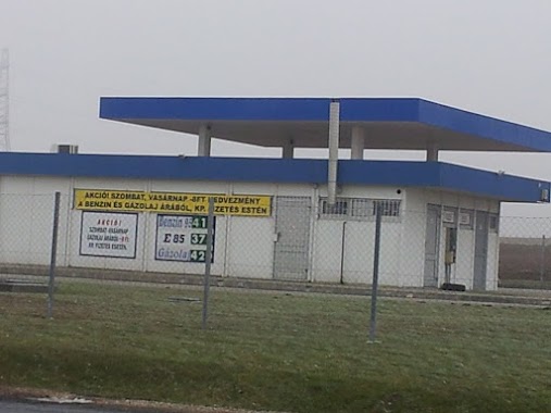
Gas station nearby Benzinkút
Hungary
Gas station nearby Benzinkút
Benzinkút
Dad, 2854 Hungary
contacts phone
:
+36
Latitude:
47.5112657
, Longitude:
18.2220583
larger map & directions
read more
nearest Gas station
7.6 km
MOL Benzinkút Oroszlány
Oroszlány, Rákóczi Ferenc út 94/A
Gas station
read more
7.6 km
MOL Benzinkút
Oroszlány, Rákóczi Ferenc út 94/A
Gas station
read more
9.206 km
Avia
Környe, Somlói út 1
Gas station
read more
9.212 km
Benzinkút
Környe, Somlói út 2
Gas station
read more
9.224 km
Baracskai Gép Kft. - benzinkút és autómosó,mélyépítés, fuvarozás, gépi földmunka,tereprendezés
Környe, Somlói út 1
Gas station
read more
10.455 km
Benzinkút
Kocs, Kis utca 6/A
Gas station
read more
13.32 km
OMV Töltőállomás
Kisbér, 81. sz. főűt
Gas station
read more
14.122 km
MOL
Tatabánya, Kossuth Lajos utca
Gas station
read more
14.745 km
Shell
Tata, M1 Remeteségpuszta B. Old
Gas station
read more
14.838 km
Shell
Tata, Ring utca 1
Gas station
read more
14.856 km
Shell
Tata, M1 Remeteségpuszta A. Old
Gas station
read more
15.048 km
Dózsakerti Benzinkút
Tatabánya, Erdész utca 33
Gas station
read more
15.065 km
Magán - Tatabánya
Tatabánya, Erdész utca
Gas station
read more
15.106 km
OMV
Tatabánya, Károlyi út, Ságvári Endre út 4
Gas station
read more
15.106 km
OMV Töltőállomás
Tatabánya, Károlyi út, Ságvári Endre út 4
Gas station
read more
15.152 km
MOL Benzinkút
Mór, Nemes utca 24
Gas station
read more
15.328 km
Shell
Tatabanya, Koztarsasag ut
Gas station
read more
15.328 km
Shell
Tatabánya, Köztársaság útja
Gas station
read more
15.58 km
MOL Benzinkút
Tatabánya, Győri út
Gas station
read more
15.58 km
MOL Gas station
Tatabánya, Győri út
Gas station
read more
15.7 km
SPAR Express OMV
Tatabánya, Ságvári Endre út 4
Gas station
read more
16.1 km
MOL
Vértesszőlős, Határ út
Gas station
read more
16.92 km
OMV Töltőállomás
Tata, 1. Sz. Autóút Hrsz: 0419/8
Gas station
read more
16.927 km
MOL Benzinkút
Tata, Vértesszőlősi út (bal oldal)
Gas station
read more
17.285 km
OIL! Nagyigmánd
Nagyigmánd, József Attila utca 19
Gas station
read more
📑
all categories
Accounting
Administrative area level 1
Administrative area level 2
Airport
Amusement park
Aquarium
Art gallery
Atm
Bakery
Bank
Bar
Beauty salon
Bicycle store
Book store
Bowling alley
Bus station
Cafe
Campground
Car dealer
Car rental
Car repair
Car wash
Casino
Cemetery
Church
City hall
Clothing store
Colloquial area
Convenience store
Country
Courthouse
Dentist
Department store
Doctor
Electrician
Electronics store
Embassy
Finance
Fire station
Florist
Food
Funeral home
Furniture store
Gas station
General contractor
Grocery or supermarket
Gym
Hair care
Hardware store
Health
Hindu Temple
Home goods store
Hospital
Insurance agency
Intersection
Jewelry store
Laundry
Lawyer
Library
Light rail station
Liquor store
Local government office
Locality
Locksmith
Lodging
Meal delivery
Meal takeaway
Mosque
Movie rental
Movie theater
Moving company
Museum
Natural feature
Neighborhood
Night club
Painter
Park
Parking
Pet store
Pharmacy
Physiotherapist
Place of worship
Plumber
Point of interest
Police
Political
Post office
Premise
Real estate agency
Restaurant
Roofing contractor
Route
Rv park, camping
School
Shoe store
Shopping mall
Spa
Stadium
Storage
Store
Subpremise
Subway station
Supermarket
Synagogue
Taxi stand
Train station
Transit station
Travel agency
University
Veterinary care
Zoo
administrative area level 3
sublocality level 1
↑