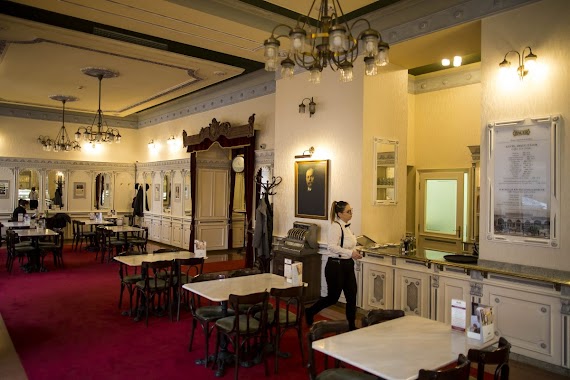
Cafe nearby Sütipont
Hungary
Cafe nearby Sütipont
Sütipont
19, Rózsa utca, 1077, Budapest, HU Ungarn
contacts phone
:
+36 1 615 7216
website:
www.sutipont.hu
Latitude:
47.5037738
, Longitude:
19.074326
larger map & directions
read more
nearest Cafe
154 m
Kalicka Bisztró
Budapest, 1077, Rottenbiller utca 32
Cafe
read more
278 m
The Goat Herder - Espresso Bar
Budapest, István utca 5
Cafe
read more
427 m
Kaffee Punkt
Budapest, Almássy utca 6
Cafe
read more
476 m
Kotyogó Drink Bar
Budapest, Munkás utca 7b
Cafe
read more
550 m
Cube Coffee Bar
Budapest, Hunyadi tér 8
Cafe
read more
592 m
DXN wellnesskávéház
Budapest, Rákóczi út 63
Cafe
read more
638 m
New York Cafe
Budapest, Dohány utca 70-72
Cafe
read more
644 m
Starbucks Keleti
Budapest, Baross tér 14
Cafe
read more
648 m
Rozsmann cukrászda és kávézó
Budapest, Hunyadi tér 2
Cafe
read more
682 m
Hauer cukrászda és kávéház
Budapest, Rákóczi út 47-49
Cafe
read more
756 m
Cydonia Tearoom & Vintage
Budapest, Akácfa utca 39
Cafe
read more
769 m
Kürtőskalács Café
Budapest, Murányi utca 19
Cafe
read more
788 m
Rézraktár Hard folk cafe
Budapest, Akácfa utca 52
Cafe
read more
842 m
Klauzál Café
Budapest, Klauzál utca 23
Cafe
read more
851 m
Expresso Cafe
Budapest, Rákóczi út 42
Cafe
read more
857 m
Ele’s Place
Budapest, Klauzál tér 13
Cafe
read more
925 m
Illy Café Europeum
Budapest, 1086, József körút 5
Cafe
read more
955 m
À Table
Budapest, Nagymező utca 8
Cafe
read more
959 m
VINYL & WOOD - Get Lost in Wonderland
Budapest, Wesselényi utca 23
Cafe
read more
960 m
Flying Bird Tea House
Budapest, Nyár utca 10
Cafe
read more
964 m
Corvin Cafe
Budapest, Somogyi Béla utca 1
Cafe
read more
979 m
Teaház a Vörös Oroszlánhoz
Budapest, Jókai tér 8
Cafe
read more
1.115 km
3 Pajamas Breakfast Club
Budapest, 1064, Szondi utca 22
Cafe
read more
1.132 km
Cirkusz Café
Budapest, 1074, Dob utca 25
Cafe
read more
1.141 km
Platós, Coffee and Breakfast
Budapest, Dohány utca 30
Cafe
read more
📑
all categories
Accounting
Administrative area level 1
Administrative area level 2
Airport
Amusement park
Aquarium
Art gallery
Atm
Bakery
Bank
Bar
Beauty salon
Bicycle store
Book store
Bowling alley
Bus station
Cafe
Campground
Car dealer
Car rental
Car repair
Car wash
Casino
Cemetery
Church
City hall
Clothing store
Colloquial area
Convenience store
Country
Courthouse
Dentist
Department store
Doctor
Electrician
Electronics store
Embassy
Finance
Fire station
Florist
Food
Funeral home
Furniture store
Gas station
General contractor
Grocery or supermarket
Gym
Hair care
Hardware store
Health
Hindu Temple
Home goods store
Hospital
Insurance agency
Intersection
Jewelry store
Laundry
Lawyer
Library
Light rail station
Liquor store
Local government office
Locality
Locksmith
Lodging
Meal delivery
Meal takeaway
Mosque
Movie rental
Movie theater
Moving company
Museum
Natural feature
Neighborhood
Night club
Painter
Park
Parking
Pet store
Pharmacy
Physiotherapist
Place of worship
Plumber
Point of interest
Police
Political
Post office
Premise
Real estate agency
Restaurant
Roofing contractor
Route
Rv park, camping
School
Shoe store
Shopping mall
Spa
Stadium
Storage
Store
Subpremise
Subway station
Supermarket
Synagogue
Taxi stand
Train station
Transit station
Travel agency
University
Veterinary care
Zoo
administrative area level 3
sublocality level 1
↑