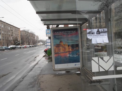
Bus station nearby Vezér utca / Fogarasi út
Hungary
Bus station nearby Vezér utca / Fogarasi út
Vezér utca / Fogarasi út
Budapest, 1141 Magyarország
contacts phone
:
+36
Latitude:
47.513883
, Longitude:
19.137323
larger map & directions
read more
nearest Bus station
39 m
Fogarasi út
Hungary
Bus station
read more
185 m
Fischer István utca
Hungary
Bus station
read more
317 m
Gödöllői utca
Hungary
Bus station
read more
480 m
Mályva utca
Hungary
Bus station
read more
507 m
Zsálya utca
Hungary
Bus station
read more
652 m
Füredi utca
Hungary
Bus station
read more
654 m
Mogyoródi út
Hungary
Bus station
read more
728 m
Szentmihályi út
Hungary
Bus station
read more
793 m
Gvadányi utca
Hungary
Bus station
read more
795 m
Álmos vezér útja
Hungary
Bus station
read more
797 m
Csertő utca
Hungary
Bus station
read more
828 m
Füredi utca / Szentmihályi út
Hungary
Bus station
read more
836 m
Tihamér utca
Hungary
Bus station
read more
859 m
Pongrátz Gergely tér
Hungary
Bus station
read more
888 m
Füredi utca / Ond vezér útja
Hungary
Bus station
read more
920 m
Örs vezér tere M+H
Budapest
Bus station
read more
978 m
Cinkotai út / Mogyoródi út
Hungary
Bus station
read more
994 m
Budapest, Örs Vezér tere M H, leszállóhely
Hungary
Bus station
read more
1.011 km
Zsivora park
Hungary
Bus station
read more
1.02 km
Egressy út / Vezér utca
Hungary
Bus station
read more
1.042 km
Rákosszentmihály vasútállomás
Hungary
Bus station
read more
1.043 km
Kaffka Margit utca
Hungary
Bus station
read more
1.096 km
Kála utca
Hungary
Bus station
read more
1.106 km
Ond vezér park
Hungary
Bus station
read more
1.21 km
Ond vezér útja / Szentmihályi út
Hungary
Bus station
read more
📑
all categories
Accounting
Administrative area level 1
Administrative area level 2
Airport
Amusement park
Aquarium
Art gallery
Atm
Bakery
Bank
Bar
Beauty salon
Bicycle store
Book store
Bowling alley
Bus station
Cafe
Campground
Car dealer
Car rental
Car repair
Car wash
Casino
Cemetery
Church
City hall
Clothing store
Colloquial area
Convenience store
Country
Courthouse
Dentist
Department store
Doctor
Electrician
Electronics store
Embassy
Finance
Fire station
Florist
Food
Funeral home
Furniture store
Gas station
General contractor
Grocery or supermarket
Gym
Hair care
Hardware store
Health
Hindu Temple
Home goods store
Hospital
Insurance agency
Intersection
Jewelry store
Laundry
Lawyer
Library
Light rail station
Liquor store
Local government office
Locality
Locksmith
Lodging
Meal delivery
Meal takeaway
Mosque
Movie rental
Movie theater
Moving company
Museum
Natural feature
Neighborhood
Night club
Painter
Park
Parking
Pet store
Pharmacy
Physiotherapist
Place of worship
Plumber
Point of interest
Police
Political
Post office
Premise
Real estate agency
Restaurant
Roofing contractor
Route
Rv park, camping
School
Shoe store
Shopping mall
Spa
Stadium
Storage
Store
Subpremise
Subway station
Supermarket
Synagogue
Taxi stand
Train station
Transit station
Travel agency
University
Veterinary care
Zoo
administrative area level 3
sublocality level 1
↑