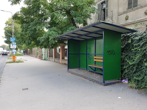
Bus station nearby Szövőszék utca
Hungary
Bus station nearby Szövőszék utca
Szövőszék utca
Budapest, 1108 Ungarn
contacts phone
:
+36
Latitude:
47.472291
, Longitude:
19.159878
larger map & directions
read more
nearest Bus station
320 m
Gőzmozdony utca
Hungary
Bus station
read more
336 m
Mádi utca
Hungary
Bus station
read more
381 m
Újhegyi sétány
Hungary
Bus station
read more
388 m
Lavotta utca
Hungary
Bus station
read more
398 m
Bányató utca
Hungary
Bus station
read more
480 m
Tavas utca
Hungary
Bus station
read more
504 m
Gergely utca (Sibrik Miklós út)
Hungary
Bus station
read more
560 m
Mélytó utca
Hungary
Bus station
read more
564 m
Gergely utca
Hungary
Bus station
read more
644 m
Rózsaliget
Hungary
Bus station
read more
760 m
Dolomit utca
Hungary
Bus station
read more
780 m
Újhegyi út
Hungary
Bus station
read more
793 m
Sibrik Miklós út
Hungary
Bus station
read more
796 m
Bányató Utca
Budapest
Bus station
read more
808 m
Újhegyi út, Sportliget
Hungary
Bus station
read more
845 m
Kada utca
Budapest
Bus station
read more
867 m
Noszlopy utca
Hungary
Bus station
read more
877 m
Kada utca
Hungary
Bus station
read more
892 m
Kada utca / Harmat utca
Hungary
Bus station
read more
923 m
Kada utca / Mádi utca
Hungary
Bus station
read more
963 m
Felüljáró
Budapest
Bus station
read more
973 m
Gyömrői út 132.
Hungary
Bus station
read more
974 m
Kemence utca
Hungary
Bus station
read more
1.002 km
Vasgyár utca
Hungary
Bus station
read more
1.223 km
Diósgyőri utca
Hungary
Bus station
read more
📑
all categories
Accounting
Administrative area level 1
Administrative area level 2
Airport
Amusement park
Aquarium
Art gallery
Atm
Bakery
Bank
Bar
Beauty salon
Bicycle store
Book store
Bowling alley
Bus station
Cafe
Campground
Car dealer
Car rental
Car repair
Car wash
Casino
Cemetery
Church
City hall
Clothing store
Colloquial area
Convenience store
Country
Courthouse
Dentist
Department store
Doctor
Electrician
Electronics store
Embassy
Finance
Fire station
Florist
Food
Funeral home
Furniture store
Gas station
General contractor
Grocery or supermarket
Gym
Hair care
Hardware store
Health
Hindu Temple
Home goods store
Hospital
Insurance agency
Intersection
Jewelry store
Laundry
Lawyer
Library
Light rail station
Liquor store
Local government office
Locality
Locksmith
Lodging
Meal delivery
Meal takeaway
Mosque
Movie rental
Movie theater
Moving company
Museum
Natural feature
Neighborhood
Night club
Painter
Park
Parking
Pet store
Pharmacy
Physiotherapist
Place of worship
Plumber
Point of interest
Police
Political
Post office
Premise
Real estate agency
Restaurant
Roofing contractor
Route
Rv park, camping
School
Shoe store
Shopping mall
Spa
Stadium
Storage
Store
Subpremise
Subway station
Supermarket
Synagogue
Taxi stand
Train station
Transit station
Travel agency
University
Veterinary care
Zoo
administrative area level 3
sublocality level 1
↑