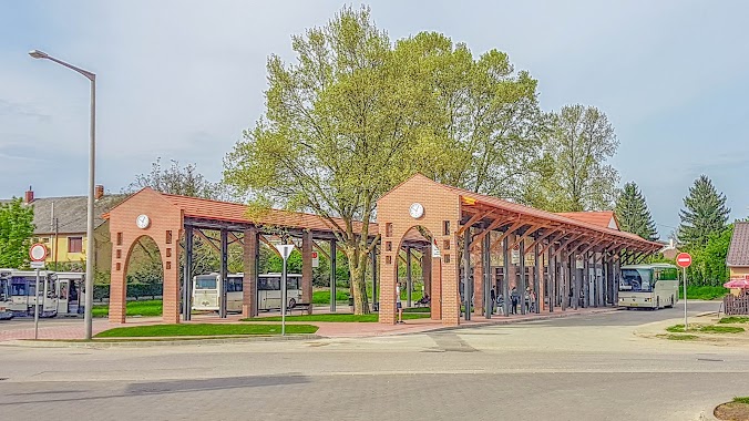
Bus station nearby Kerékteleki, Nyeszkenyepuszta
Hungary
Bus station nearby Kerékteleki, Nyeszkenyepuszta
Kerékteleki, Nyeszkenyepuszta
Hungary Hungary
contacts phone
:
+36
Latitude:
47.522339
, Longitude:
17.962314
read more
nearest Bus station
83 m
Kerékteleki, Nyeszkenyepuszta, ÁG
Hungary
Bus station
read more
1.546 km
Kerékteleki, alsó
Hungary
Bus station
read more
1.737 km
Kerékteleki, Alsóbörcsházapuszta
Hungary
Bus station
read more
2.126 km
Kerékteleki, iskola
Hungary
Bus station
read more
3.344 km
Ászár, vasúti megállóhely
Hungary
Bus station
read more
3.351 km
Ászár, posta
Hungary
Bus station
read more
3.395 km
Bársonyos, templom
Hungary
Bus station
read more
3.423 km
Ászár, iskola
Hungary
Bus station
read more
3.656 km
Bársonyos, kultúrház
Hungary
Bus station
read more
4.141 km
Ászár, vasútállomás átjáró
Hungary
Bus station
read more
4.286 km
Bársonyos, Öreghegy
Hungary
Bus station
read more
4.666 km
Ászár, keményítőgyár
Hungary
Bus station
read more
4.761 km
Kisbér, Hántai Elág.
Hungary
Bus station
read more
4.781 km
Hántai elág.
Hungary
Bus station
read more
4.79 km
Kisbér, piactér
Hungary
Bus station
read more
4.841 km
Kisbér, Hántai Elágazás
Hungary
Bus station
read more
4.956 km
Kisbér, vasútállomás bejárati út
Hungary
Bus station
read more
5.105 km
Bársonyos, Pervátpuszta
Hungary
Bus station
read more
5.38 km
Kisbér, autóbusz-állomás
Hungary
Bus station
read more
5.385 km
Vértes Volán Zrt.
Kisbér, Városház tér
Bus station
read more
5.564 km
Vasdinnyepuszta, alsó
Hungary
Bus station
read more
5.651 km
Kisbér, vasútállomás
Hungary
Bus station
read more
5.738 km
Mezőörs, Kispervátpuszta bejárati út
Hungary
Bus station
read more
5.851 km
Vasdinnyepuszta, tejház
Hungary
Bus station
read more
6.147 km
Vasdinnyepuszta, felső
Hungary
Bus station
read more
📑
all categories
Accounting
Administrative area level 1
Administrative area level 2
Airport
Amusement park
Aquarium
Art gallery
Atm
Bakery
Bank
Bar
Beauty salon
Bicycle store
Book store
Bowling alley
Bus station
Cafe
Campground
Car dealer
Car rental
Car repair
Car wash
Casino
Cemetery
Church
City hall
Clothing store
Colloquial area
Convenience store
Country
Courthouse
Dentist
Department store
Doctor
Electrician
Electronics store
Embassy
Finance
Fire station
Florist
Food
Funeral home
Furniture store
Gas station
General contractor
Grocery or supermarket
Gym
Hair care
Hardware store
Health
Hindu Temple
Home goods store
Hospital
Insurance agency
Intersection
Jewelry store
Laundry
Lawyer
Library
Light rail station
Liquor store
Local government office
Locality
Locksmith
Lodging
Meal delivery
Meal takeaway
Mosque
Movie rental
Movie theater
Moving company
Museum
Natural feature
Neighborhood
Night club
Painter
Park
Parking
Pet store
Pharmacy
Physiotherapist
Place of worship
Plumber
Point of interest
Police
Political
Post office
Premise
Real estate agency
Restaurant
Roofing contractor
Route
Rv park, camping
School
Shoe store
Shopping mall
Spa
Stadium
Storage
Store
Subpremise
Subway station
Supermarket
Synagogue
Taxi stand
Train station
Transit station
Travel agency
University
Veterinary care
Zoo
administrative area level 3
sublocality level 1
↑