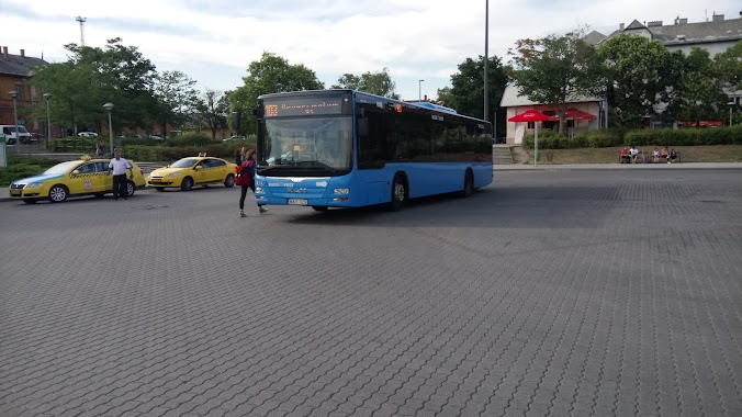
Bus station nearby Csóka utca
Hungary
Bus station nearby Csóka utca
Csóka utca
Budapest, 1115 Ungarn
contacts phone
:
+36
Latitude:
47.470805
, Longitude:
19.029113
larger map & directions
read more
nearest Bus station
274 m
Kelenföldi autóbuszgarázs (kapu)
Hungary
Bus station
read more
297 m
Budapest, Kelenföldi Autóbuszgarázs
Hungary
Bus station
read more
303 m
Kelenföldi autóbuszgarázs
Hungary
Bus station
read more
417 m
Ajnácskő utca
Hungary
Bus station
read more
623 m
Tétényi út 30.
Hungary
Bus station
read more
709 m
Dayka Gábor utca
Hungary
Bus station
read more
819 m
Budapest, Budapest Kelenföld BKK
Hungary
Bus station
read more
819 m
Vincellér utca
Hungary
Bus station
read more
826 m
Bikás park M
Hungary
Bus station
read more
832 m
Budapest, Bikás park
Hungary
Bus station
read more
833 m
Kelenföld vasútállomás M
Budapest
Bus station
read more
862 m
Kosztolányi Dezső tér
Hungary
Bus station
read more
873 m
Diószegi út (Vérellátó Szolgálat)
Hungary
Bus station
read more
876 m
Fehérló utca
Hungary
Bus station
read more
903 m
Budapest, Kelenföld vasútállomás
Hungary
Bus station
read more
906 m
Volánbusz Zrt. - Kelenföldi pályaudvar autóbusz-állomás
Budapest, Somogyi út 35
Bus station
read more
940 m
Autóbuszállomás Budapest-Kelenföld
Budapest, Etele tér, Autóbuszállomás
Bus station
read more
943 m
Budapest, Budapest Kelenföld
Hungary
Bus station
read more
976 m
Kosztolányi Dezső tér
Budapest
Bus station
read more
979 m
Budapest, Sasadi út
Hungary
Bus station
read more
1.023 km
Sasadi út
Hungary
Bus station
read more
1.055 km
Budapest, Kelenföld vasútállomás (Őrmező)
Hungary
Bus station
read more
1.252 km
Etele út / Fehérvári út
Budapest
Bus station
read more
1.258 km
Tas vezér utca
Hungary
Bus station
read more
1.368 km
Kérő utca
Hungary
Bus station
read more
📑
all categories
Accounting
Administrative area level 1
Administrative area level 2
Airport
Amusement park
Aquarium
Art gallery
Atm
Bakery
Bank
Bar
Beauty salon
Bicycle store
Book store
Bowling alley
Bus station
Cafe
Campground
Car dealer
Car rental
Car repair
Car wash
Casino
Cemetery
Church
City hall
Clothing store
Colloquial area
Convenience store
Country
Courthouse
Dentist
Department store
Doctor
Electrician
Electronics store
Embassy
Finance
Fire station
Florist
Food
Funeral home
Furniture store
Gas station
General contractor
Grocery or supermarket
Gym
Hair care
Hardware store
Health
Hindu Temple
Home goods store
Hospital
Insurance agency
Intersection
Jewelry store
Laundry
Lawyer
Library
Light rail station
Liquor store
Local government office
Locality
Locksmith
Lodging
Meal delivery
Meal takeaway
Mosque
Movie rental
Movie theater
Moving company
Museum
Natural feature
Neighborhood
Night club
Painter
Park
Parking
Pet store
Pharmacy
Physiotherapist
Place of worship
Plumber
Point of interest
Police
Political
Post office
Premise
Real estate agency
Restaurant
Roofing contractor
Route
Rv park, camping
School
Shoe store
Shopping mall
Spa
Stadium
Storage
Store
Subpremise
Subway station
Supermarket
Synagogue
Taxi stand
Train station
Transit station
Travel agency
University
Veterinary care
Zoo
administrative area level 3
sublocality level 1
↑