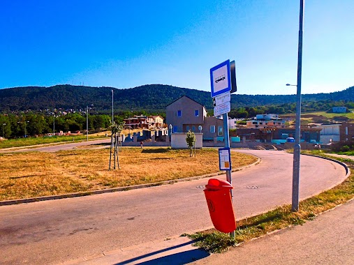
Bus station nearby Csikóvár utca [3]
Hungary
Bus station nearby Csikóvár utca [3]
Csikóvár utca [3]
Hungary Magyarország
contacts phone
:
+36
Latitude:
47.583059
, Longitude:
19.031412
read more
nearest Bus station
233 m
Öregbükk utca [4]
Hungary
Bus station
read more
298 m
Lepence utca [5]
Hungary
Bus station
read more
401 m
Cserszömörce utca [6]
Hungary
Bus station
read more
444 m
Mészkő utca [2]
Hungary
Bus station
read more
488 m
Mészkő utca
Hungary
Bus station
read more
515 m
Forrásliget lakópark
Hungary
Bus station
read more
581 m
Muzsla utca [7]
Hungary
Bus station
read more
592 m
Mácsonya utca [9]
Hungary
Bus station
read more
602 m
Ürömhegyi lejtő
Hungary
Bus station
read more
708 m
Óarany utca [8]
Hungary
Bus station
read more
798 m
Saroglya utca [10]
Hungary
Bus station
read more
893 m
Kőpor utca [11]
Hungary
Bus station
read more
959 m
Csillaghegy H [1]
Hungary
Bus station
read more
960 m
Csillaghegy H [1]
Budapest
Bus station
read more
1.531 km
Bercsényi utca
Hungary
Bus station
read more
1.763 km
ATI
Hungary
Bus station
read more
1.797 km
Zemplén Győző utca
Hungary
Bus station
read more
1.814 km
Monostori út
Hungary
Bus station
read more
1.925 km
Üröm, pilisborosjenői elágazás
Hungary
Bus station
read more
2.054 km
Dósa utca
Hungary
Bus station
read more
2.15 km
Kadosa utca
Hungary
Bus station
read more
2.159 km
Aquincum H
Hungary
Bus station
read more
2.304 km
Citronella utca
Hungary
Bus station
read more
2.427 km
Békásmegyer H
Hungary
Bus station
read more
2.654 km
Üröm, Kert utca
Hungary
Bus station
read more
📑
all categories
Accounting
Administrative area level 1
Administrative area level 2
Airport
Amusement park
Aquarium
Art gallery
Atm
Bakery
Bank
Bar
Beauty salon
Bicycle store
Book store
Bowling alley
Bus station
Cafe
Campground
Car dealer
Car rental
Car repair
Car wash
Casino
Cemetery
Church
City hall
Clothing store
Colloquial area
Convenience store
Country
Courthouse
Dentist
Department store
Doctor
Electrician
Electronics store
Embassy
Finance
Fire station
Florist
Food
Funeral home
Furniture store
Gas station
General contractor
Grocery or supermarket
Gym
Hair care
Hardware store
Health
Hindu Temple
Home goods store
Hospital
Insurance agency
Intersection
Jewelry store
Laundry
Lawyer
Library
Light rail station
Liquor store
Local government office
Locality
Locksmith
Lodging
Meal delivery
Meal takeaway
Mosque
Movie rental
Movie theater
Moving company
Museum
Natural feature
Neighborhood
Night club
Painter
Park
Parking
Pet store
Pharmacy
Physiotherapist
Place of worship
Plumber
Point of interest
Police
Political
Post office
Premise
Real estate agency
Restaurant
Roofing contractor
Route
Rv park, camping
School
Shoe store
Shopping mall
Spa
Stadium
Storage
Store
Subpremise
Subway station
Supermarket
Synagogue
Taxi stand
Train station
Transit station
Travel agency
University
Veterinary care
Zoo
administrative area level 3
sublocality level 1
↑