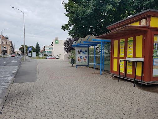
Bus station nearby Aradi vértanúk útja
Hungary
Bus station nearby Aradi vértanúk útja
Aradi vértanúk útja
Pécs Magyarország
contacts phone
:
+36
Latitude:
46.079063
, Longitude:
18.221616
read more
nearest Bus station
96 m
Barbakán
Hungary
Bus station
read more
142 m
Kodály Zoltán utca
Hungary
Bus station
read more
294 m
Szent István tér
Hungary
Bus station
read more
323 m
Cella Septichora
Hungary
Bus station
read more
436 m
Papnövelde utca
Hungary
Bus station
read more
510 m
Kórház tér
Hungary
Bus station
read more
525 m
Szőlőskert
Hungary
Bus station
read more
556 m
Petőfi ház
Hungary
Bus station
read more
654 m
István utca
Hungary
Bus station
read more
716 m
Jurisics Miklós út
Pécs
Bus station
read more
720 m
Mária utca, Szent Mór utca
Hungary
Bus station
read more
770 m
Zsolnay-szobor
Hungary
Bus station
read more
792 m
Gyermekkórház
Hungary
Bus station
read more
852 m
Rodostó utca
Hungary
Bus station
read more
896 m
Sörfőzde
Hungary
Bus station
read more
908 m
Szabadság utca
Hungary
Bus station
read more
926 m
Flórián tér
Hungary
Bus station
read more
962 m
Árkád, Bajcsy-Zsilinszky u.
Hungary
Bus station
read more
963 m
Szliven Áruház
Hungary
Bus station
read more
984 m
Árkád
Hungary
Bus station
read more
1.071 km
MTA-székház
Hungary
Bus station
read more
1.187 km
Árkád, Autóbusz-Allomás
Hungary
Bus station
read more
1.21 km
Vásárcsarnok
Hungary
Bus station
read more
1.221 km
Autóbuszállomás Pécs Nagy Lajos király útja
Pécs, Nagy Lajos király útja 20.
Bus station
read more
1.284 km
Autóbusz-állomás
Hungary
Bus station
read more
📑
all categories
Accounting
Administrative area level 1
Administrative area level 2
Airport
Amusement park
Aquarium
Art gallery
Atm
Bakery
Bank
Bar
Beauty salon
Bicycle store
Book store
Bowling alley
Bus station
Cafe
Campground
Car dealer
Car rental
Car repair
Car wash
Casino
Cemetery
Church
City hall
Clothing store
Colloquial area
Convenience store
Country
Courthouse
Dentist
Department store
Doctor
Electrician
Electronics store
Embassy
Finance
Fire station
Florist
Food
Funeral home
Furniture store
Gas station
General contractor
Grocery or supermarket
Gym
Hair care
Hardware store
Health
Hindu Temple
Home goods store
Hospital
Insurance agency
Intersection
Jewelry store
Laundry
Lawyer
Library
Light rail station
Liquor store
Local government office
Locality
Locksmith
Lodging
Meal delivery
Meal takeaway
Mosque
Movie rental
Movie theater
Moving company
Museum
Natural feature
Neighborhood
Night club
Painter
Park
Parking
Pet store
Pharmacy
Physiotherapist
Place of worship
Plumber
Point of interest
Police
Political
Post office
Premise
Real estate agency
Restaurant
Roofing contractor
Route
Rv park, camping
School
Shoe store
Shopping mall
Spa
Stadium
Storage
Store
Subpremise
Subway station
Supermarket
Synagogue
Taxi stand
Train station
Transit station
Travel agency
University
Veterinary care
Zoo
administrative area level 3
sublocality level 1
↑