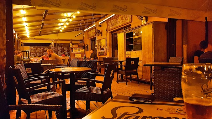
Bar nearby Eldorado Koktélbolt
Hungary
Bar nearby Eldorado Koktélbolt
Eldorado Koktélbolt
15, Semsey Andor utca, 1143, Budapest, HU Magyarország
contacts phone
:
+36 20 999 3073
website:
www.eldoradosyrup.com
Latitude:
47.5077868
, Longitude:
19.099493
larger map & directions
read more
nearest Bar
90 m
Oli Sörpincéje
Budapest, Ilka utca 26
Bar
read more
331 m
Félidő Pub Lottózó
Budapest, Egressy út 18a
Bar
read more
351 m
Retro kocsma
Budapest, Hungária körút 134
Bar
read more
366 m
Jamming söröző
Budapest, Hungária körút 134
Bar
read more
375 m
Borozó
Budapest, Thököly út 95
Bar
read more
385 m
Retro söröző-borozó
Istvánmező
Bar
read more
489 m
Tücsök Sörkert
Budapest, Stefánia út 29
Bar
read more
489 m
Cricket Beer Garden
Budapest, Stefánia út 29
Bar
read more
544 m
Gritto Söröző
Budapest, Thököly út 51
Bar
read more
791 m
Metró Reklám Kommunikációs Kft.
Budapest, Stefánia út 1
Bar
read more
904 m
Dózsa söröző
Budapest, Dózsa György út 9
Bar
read more
952 m
Jewel Shisha Bár
Budapest, Ajtósi Dürer sor 7
Bar
read more
961 m
Park Söröző
Budapest, Egressy út 62-68
Bar
read more
963 m
Borozók
Budapest, Zászlós utca 10
Bar
read more
979 m
Kertem
Budapest, Olof Palme sétány 1
Bar
read more
1.04 km
Korona Kisvendéglő
Budapest, Thököly út 32
Bar
read more
1.082 km
Félidő
Budapest, Hungária körút 26
Bar
read more
1.088 km
Fogadó az Ingyen Sörhöz
Budapest, Garay tér 9
Bar
read more
1.088 km
kéthétmúlva
Budapest, Garay tér 9
Bar
read more
1.145 km
Teri preszó
Budapest, Kerepesi út 32
Bar
read more
1.16 km
Green Etelbar
Budapest, Kerepesi út 36
Bar
read more
1.211 km
Sellő Presszó
Budapest, Kerepesi út 40
Bar
read more
1.22 km
Pántlika Bisztró
Budapest, Hermina út
Bar
read more
1.889 km
Obester Winery
Budapest, Huszár utca 5
Bar
read more
2.304 km
Cherry bár
Budapest, Népszínház utca 27
Bar
read more
📑
all categories
Accounting
Administrative area level 1
Administrative area level 2
Airport
Amusement park
Aquarium
Art gallery
Atm
Bakery
Bank
Bar
Beauty salon
Bicycle store
Book store
Bowling alley
Bus station
Cafe
Campground
Car dealer
Car rental
Car repair
Car wash
Casino
Cemetery
Church
City hall
Clothing store
Colloquial area
Convenience store
Country
Courthouse
Dentist
Department store
Doctor
Electrician
Electronics store
Embassy
Finance
Fire station
Florist
Food
Funeral home
Furniture store
Gas station
General contractor
Grocery or supermarket
Gym
Hair care
Hardware store
Health
Hindu Temple
Home goods store
Hospital
Insurance agency
Intersection
Jewelry store
Laundry
Lawyer
Library
Light rail station
Liquor store
Local government office
Locality
Locksmith
Lodging
Meal delivery
Meal takeaway
Mosque
Movie rental
Movie theater
Moving company
Museum
Natural feature
Neighborhood
Night club
Painter
Park
Parking
Pet store
Pharmacy
Physiotherapist
Place of worship
Plumber
Point of interest
Police
Political
Post office
Premise
Real estate agency
Restaurant
Roofing contractor
Route
Rv park, camping
School
Shoe store
Shopping mall
Spa
Stadium
Storage
Store
Subpremise
Subway station
Supermarket
Synagogue
Taxi stand
Train station
Transit station
Travel agency
University
Veterinary care
Zoo
administrative area level 3
sublocality level 1
↑