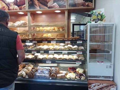
Bakery nearby VERÖCE Pekseg BÄCKEREI
Hungary
Bakery nearby VERÖCE Pekseg BÄCKEREI
VERÖCE Pekseg BÄCKEREI
47, Árpád út, 2621, Verőce, HU Hungary
contacts phone
:
+36
Latitude:
47.822552
, Longitude:
19.032596
larger map & directions
read more
nearest Bakery
152 m
Pékség
Verőce, Rákóczi út 2
Bakery
read more
1.343 km
M mézes cukrászda
Kismaros, Liliom utca 8
Bakery
read more
3.09 km
Heim Sütöde Bt.
Dunabogdány, Hajó utca 1
Bakery
read more
3.09 km
Heim Bakery Bt.
Dunabogdány, Hajó utca 1
Bakery
read more
3.112 km
Linda Pékség
Dunabogdány, József Attila utca 1
Bakery
read more
3.437 km
Herr Cukrászda
Dunabogdány, Petőfi Sándor utca 18
Bakery
read more
5.662 km
Spitz Pékesség
Nagymaros, Váci út 96
Bakery
read more
5.854 km
Sisa pékség
Szokolya, Fő utca 110
Bakery
read more
6 km
Szent Korona Pékség
Visegrád, Mátyás király utca 8
Bakery
read more
6 km
Szent Korona Bakery
Visegrád, Mátyás király utca 8
Bakery
read more
6.297 km
Besjana bakery
Nagymaros, Váci út 34
Bakery
read more
8.386 km
Hunnia Pékség
Vác
Bakery
read more
8.586 km
Pingvin Cukrászda
Vác, Naszály út 2
Bakery
read more
8.594 km
Laki Cukrászda
Tahitótfalu, Petőfi Sándor utca 40
Bakery
read more
8.635 km
Főtéri Cukrászda
Vác, Széchenyi St 2
Bakery
read more
8.672 km
Csocsaj Pékség
Vác, Széchenyi István utca 22
Bakery
read more
8.707 km
Hugyecz Pékség
Vác, Széchenyi István utca 42
Bakery
read more
9.141 km
Zebegényi Rétesház
Zebegény, Kossuth Lajos út 33
Bakery
read more
9.141 km
Monarchia Rétesház
Zebegény, Kossuth Lajos út 33
Bakery
read more
9.298 km
Csocsaj Bakery
Vác, Doktor Csányi László körút 4
Bakery
read more
12.389 km
Duna Terasz Cukrászda
Leányfalu
Bakery
read more
14.422 km
Strudel House of God-Upper
Göd, I. Körforgalmi utca 1
Bakery
read more
14.422 km
Rétesház Göd-Felső
Göd, I. Körforgalmi utca 1
Bakery
read more
15.393 km
Binder és Társai Sütőipari és Szolgáltató Kft.
Göd, Honvéd sor 1
Bakery
read more
16.512 km
Kincsem Pékség kft.
Göd, Pesti út 110
Bakery
read more
📑
all categories
Accounting
Administrative area level 1
Administrative area level 2
Airport
Amusement park
Aquarium
Art gallery
Atm
Bakery
Bank
Bar
Beauty salon
Bicycle store
Book store
Bowling alley
Bus station
Cafe
Campground
Car dealer
Car rental
Car repair
Car wash
Casino
Cemetery
Church
City hall
Clothing store
Colloquial area
Convenience store
Country
Courthouse
Dentist
Department store
Doctor
Electrician
Electronics store
Embassy
Finance
Fire station
Florist
Food
Funeral home
Furniture store
Gas station
General contractor
Grocery or supermarket
Gym
Hair care
Hardware store
Health
Hindu Temple
Home goods store
Hospital
Insurance agency
Intersection
Jewelry store
Laundry
Lawyer
Library
Light rail station
Liquor store
Local government office
Locality
Locksmith
Lodging
Meal delivery
Meal takeaway
Mosque
Movie rental
Movie theater
Moving company
Museum
Natural feature
Neighborhood
Night club
Painter
Park
Parking
Pet store
Pharmacy
Physiotherapist
Place of worship
Plumber
Point of interest
Police
Political
Post office
Premise
Real estate agency
Restaurant
Roofing contractor
Route
Rv park, camping
School
Shoe store
Shopping mall
Spa
Stadium
Storage
Store
Subpremise
Subway station
Supermarket
Synagogue
Taxi stand
Train station
Transit station
Travel agency
University
Veterinary care
Zoo
administrative area level 3
sublocality level 1
↑