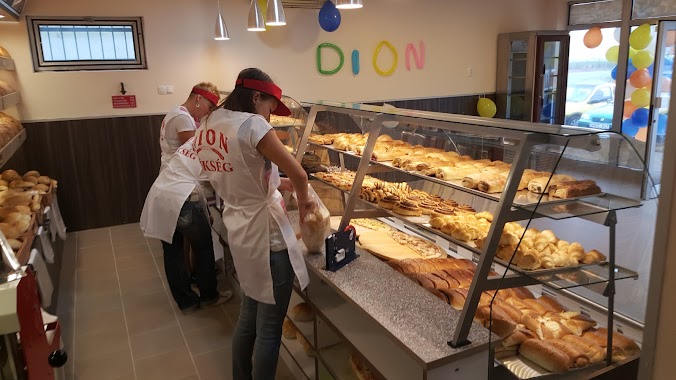
Bakery nearby Dion Pèksèg
Hungary
Bakery nearby Dion Pèksèg
Dion Pèksèg
33, Széchenyi István út, 2365, Inárcs, HU Magyarország
contacts phone
:
+36
Latitude:
47.2545301
, Longitude:
19.3290711
larger map & directions
read more
nearest Bakery
464 m
Adam's Bakery
Inárcs, Széchenyi István út 2
Bakery
read more
464 m
Ádám Pékség
Inárcs, Széchenyi István út 2
Bakery
read more
8.247 km
Vogtland Pékség
Dabas, Szent István út 75
Bakery
read more
9.576 km
Gyóni Pékség
Dabas, Gróf Vay Sándor utca 42
Bakery
read more
11.258 km
Vogtland Kakaóstekercs Ház
Hernád, Fő utca 72/c
Bakery
read more
12.288 km
Pékség
Monor
Bakery
read more
12.985 km
Fornetti
Monor, Móricz Zsigmond utca 29
Bakery
read more
13.043 km
Rábai sütöde
Monor, Móricz Zsigmond utca 27
Bakery
read more
13.151 km
Nyáregyházi pékség
Nyáregyháza, Diófasor út 6
Bakery
read more
13.497 km
Albán Pékség
Alsónémedi, Fő út 70a
Bakery
read more
13.636 km
Paning Bakery
Monor, Ady Endre utca 19
Bakery
read more
13.636 km
Paning Pékség
Monor, Ady Endre utca 19
Bakery
read more
13.647 km
Anita Cukrászda
Bugyi, Teleki utca 24
Bakery
read more
13.789 km
Sós Perec Pékséh
Monor, Kossuth Lajos utca 93
Bakery
read more
13.931 km
Némedi Pékség
Alsónémedi, Fő út 54
Bakery
read more
14.109 km
Állomás pékség
Üllő, Hunyadi utca 1
Bakery
read more
15.754 km
Európa Pékség
Örkény, Örkény István utca
Bakery
read more
15.938 km
Gyáli cukrászda és kávézó
Gyál, Széchenyi utca 100
Bakery
read more
16.089 km
Félegyházi Pékség
Örkény, Bajcsy-Zsilinszky utca 1
Bakery
read more
16.089 km
Félegyházi Pékség
Örkény, Bajcsy-Zsilinszky utca
Bakery
read more
16.089 km
Félegyházi Bakery
Örkény, Bajcsy-Zsilinszky utca 1
Bakery
read more
16.271 km
Péksüti sütőipari Kft
Gyál, Szent István utca 59
Bakery
read more
17.544 km
Riska Boci Tejboltja
Gyál, Iglói utca 36
Bakery
read more
21.034 km
Állomás Pékség
Albertirsa, Vasút utca
Bakery
read more
27.087 km
Friss Pékség
Budapest, Kossuth Lajos utca 111-113
Bakery
read more
📑
all categories
Accounting
Administrative area level 1
Administrative area level 2
Airport
Amusement park
Aquarium
Art gallery
Atm
Bakery
Bank
Bar
Beauty salon
Bicycle store
Book store
Bowling alley
Bus station
Cafe
Campground
Car dealer
Car rental
Car repair
Car wash
Casino
Cemetery
Church
City hall
Clothing store
Colloquial area
Convenience store
Country
Courthouse
Dentist
Department store
Doctor
Electrician
Electronics store
Embassy
Finance
Fire station
Florist
Food
Funeral home
Furniture store
Gas station
General contractor
Grocery or supermarket
Gym
Hair care
Hardware store
Health
Hindu Temple
Home goods store
Hospital
Insurance agency
Intersection
Jewelry store
Laundry
Lawyer
Library
Light rail station
Liquor store
Local government office
Locality
Locksmith
Lodging
Meal delivery
Meal takeaway
Mosque
Movie rental
Movie theater
Moving company
Museum
Natural feature
Neighborhood
Night club
Painter
Park
Parking
Pet store
Pharmacy
Physiotherapist
Place of worship
Plumber
Point of interest
Police
Political
Post office
Premise
Real estate agency
Restaurant
Roofing contractor
Route
Rv park, camping
School
Shoe store
Shopping mall
Spa
Stadium
Storage
Store
Subpremise
Subway station
Supermarket
Synagogue
Taxi stand
Train station
Transit station
Travel agency
University
Veterinary care
Zoo
administrative area level 3
sublocality level 1
↑