Bakery nearby Csocsaj Pékség
Hungary
Bakery nearby Csocsaj Pékség
Csocsaj Pékség
Budapest, Kőrösi Csoma Sándor sétány 16 Magyarország
contacts phone
:
+36
Latitude:
47.4850134
, Longitude:
19.1308996
read more
nearest Bakery
Csocsaj Pékség
Budapest, Kőrösi Csoma sétány 16
Bakery
read more
83 m
Füzér Udvar Pékség és Kávézó
Budapest, Kőrösi Csoma Sándor sétány 8
Bakery
read more
94 m
Bombajó Látványpékség
Budapest, Szent László tér 6
Bakery
read more
115 m
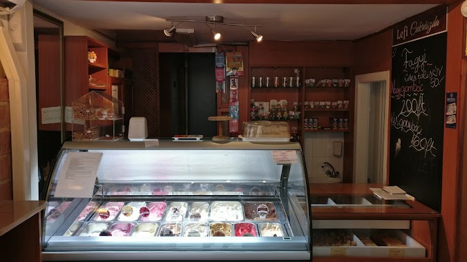
Confectionery Lefi
Budapest, Állomás utca 16
Bakery
read more
253 m
Pik-Pak-Pék
Budapest, Liget tér 5
Bakery
read more
472 m
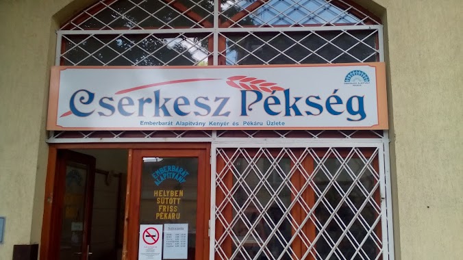
Cserkesz Pékség
Budapest, Cserkesz utca 11
Bakery
read more
585 m
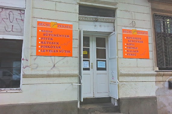
Bécsi Pékség
Budapest, Ónodi utca 8
Bakery
read more
785 m
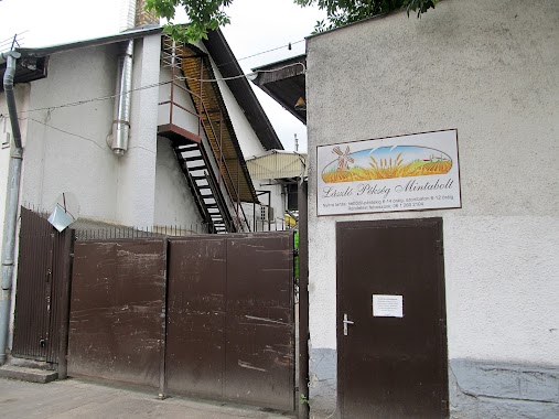
László Pékség Mintabolt
Budapest, Kelemen utca 37
Bakery
read more
790 m
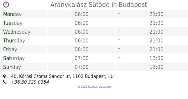
Aranykalász Sütöde
Budapest, Kőrösi Csoma Sándor út 40
Bakery
read more
1.243 km
Barabás Sütemény - Házi sütemény rendelés
Budapest, Jászberényi út 7/A
Bakery
read more
1.765 km
Paleo Pont
Budapest, Fehér út 3
Bakery
read more
1.805 km
Kolosy téri Sütöde
Budapest, Fehér út 3
Bakery
read more
1.975 km
Fini-mini Pékség
Budapest, Fehér út 1
Bakery
read more
1.996 km
Lipóti Pékség és Kávézó
Budapest, Örs Vezér tere 25, A Fehér úti főbejáratnál
Bakery
read more
2 km
Lipóti Pékség
Budapest, Örs vezér tere 25/a
Bakery
read more
2.012 km
Lipóti Pékség - Árkád Üzletház
Budapest, Örs vezér tere 25
Bakery
read more
2.014 km
Szépvölgyi Pékség
Budapest, Fehér út 1
Bakery
read more
2.016 km
Princess Pékség
Budapest, Kerepesi út 80d
Bakery
read more
2.164 km
DiétaPékség a gluténmentes pékség
Budapest, Üllői út 149
Bakery
read more
2.192 km
Lipóti pékség
Budapest, Ecseri út 2
Bakery
read more
2.251 km
Tinódi Pékség II. Sz. Szakbolt
Budapest, Ecseri út 2
Bakery
read more
2.359 km
Nuki Pékség
Budapest, Kerepesi út 28
Bakery
read more
2.445 km
Réteskuckó
Budapest, Hungária körút 46-50
Bakery
read more
2.462 km
P&P Pékáru Büfé és Látványpékség
Budapest, Ifjúság útja 1
Bakery
read more
2.471 km
Rubin Pékség
Budapest, Ifjúság útja 1
Bakery
read more
📑
all categories
Accounting
Administrative area level 1
Administrative area level 2
Airport
Amusement park
Aquarium
Art gallery
Atm
Bakery
Bank
Bar
Beauty salon
Bicycle store
Book store
Bowling alley
Bus station
Cafe
Campground
Car dealer
Car rental
Car repair
Car wash
Casino
Cemetery
Church
City hall
Clothing store
Colloquial area
Convenience store
Country
Courthouse
Dentist
Department store
Doctor
Electrician
Electronics store
Embassy
Finance
Fire station
Florist
Food
Funeral home
Furniture store
Gas station
General contractor
Grocery or supermarket
Gym
Hair care
Hardware store
Health
Hindu Temple
Home goods store
Hospital
Insurance agency
Intersection
Jewelry store
Laundry
Lawyer
Library
Light rail station
Liquor store
Local government office
Locality
Locksmith
Lodging
Meal delivery
Meal takeaway
Mosque
Movie rental
Movie theater
Moving company
Museum
Natural feature
Neighborhood
Night club
Painter
Park
Parking
Pet store
Pharmacy
Physiotherapist
Place of worship
Plumber
Point of interest
Police
Political
Post office
Premise
Real estate agency
Restaurant
Roofing contractor
Route
Rv park, camping
School
Shoe store
Shopping mall
Spa
Stadium
Storage
Store
Subpremise
Subway station
Supermarket
Synagogue
Taxi stand
Train station
Transit station
Travel agency
University
Veterinary care
Zoo
administrative area level 3
sublocality level 1
↑