Atm nearby UniCredit ATM
Hungary
Atm nearby UniCredit ATM
UniCredit ATM
Budapest, Stróbl Alajos utca 3/b. fsz., 1087 Magyarország
contacts phone
:
+36 30 325 3200
website:
www.unicreditbank.hu
Latitude:
47.497179
, Longitude:
19.1008739
larger map & directions
read more
nearest Atm
537 m
Erste Bank ATM
Budapest, Kerepesi út 11, Aréna Pláza / Tesco
Atm
read more
538 m
K&H ATM
Budapest, Arena Plaza, Kerepesi út 9-11
Atm
read more
585 m
OTP ATM (Volán)
Budapest, Hungária körút 48
Atm
read more
608 m
CIB Bank
Budapest, Arena Plaza, Kerepesi út 9-11
Atm
read more
608 m
CIB ATM
Budapest, Arena Plaza, Kerepesi út 9-11
Atm
read more
702 m
K&H ATM
Budapest, Aréna Plaza, Kerepesi út 9
Atm
read more
784 m
OTP ATM
Budapest, Kerepesi út 49
Atm
read more
948 m
OTP bankautomata
Budapest, Hungária körút 5-7
Atm
read more
968 m
Euronet
Budapest, Istvánmezei út 6
Atm
read more
1.085 km
OTP Bank ATM
Budapest, Dózsa György út 18-22
Atm
read more
1.085 km
OTP ATM
Budapest, Dózsa György út 18-22
Atm
read more
1.373 km
Otp ATM
Budapest, Teleki László tér
Atm
read more
1.488 km
OTP Bankautomata
Budapest, Fiumei út 11
Atm
read more
1.5 km
OTP ATM
Budapest, Pillangó utca 15
Atm
read more
1.5 km
Euronet ATM
Budapest, Baross tér 6
Atm
read more
1.505 km
K&H ATM
Budapest, Pillangó utca 15
Atm
read more
1.52 km
UniCredit ATM
Budapest, Fogarasi út 15a
Atm
read more
1.552 km
UniCredit ATM
Budapest, Fogarasi út 15
Atm
read more
1.609 km
OTP ATM (Obi)
Budapest, Fogarasi út 54
Atm
read more
1.629 km
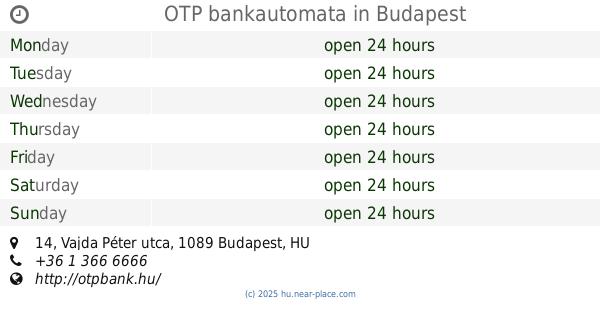
OTP bankautomata
Budapest, Vajda Péter utca 14
Atm
read more
1.833 km
OTP Automata
Budapest, István utca 1-7
Atm
read more
1.957 km
OTP bankautomata
Budapest, Kismartoni út 1
Atm
read more
1.957 km
OTP Bank
Budapest, Kismartoni út 1
Atm
read more
2.144 km
OTP ATM
Budapest, Buzogány utca 10-12
Atm
read more
2.38 km
Euronet ATM
Budapest, Dózsa György út 84c
Atm
read more
📑
all categories
Accounting
Administrative area level 1
Administrative area level 2
Airport
Amusement park
Aquarium
Art gallery
Atm
Bakery
Bank
Bar
Beauty salon
Bicycle store
Book store
Bowling alley
Bus station
Cafe
Campground
Car dealer
Car rental
Car repair
Car wash
Casino
Cemetery
Church
City hall
Clothing store
Colloquial area
Convenience store
Country
Courthouse
Dentist
Department store
Doctor
Electrician
Electronics store
Embassy
Finance
Fire station
Florist
Food
Funeral home
Furniture store
Gas station
General contractor
Grocery or supermarket
Gym
Hair care
Hardware store
Health
Hindu Temple
Home goods store
Hospital
Insurance agency
Intersection
Jewelry store
Laundry
Lawyer
Library
Light rail station
Liquor store
Local government office
Locality
Locksmith
Lodging
Meal delivery
Meal takeaway
Mosque
Movie rental
Movie theater
Moving company
Museum
Natural feature
Neighborhood
Night club
Painter
Park
Parking
Pet store
Pharmacy
Physiotherapist
Place of worship
Plumber
Point of interest
Police
Political
Post office
Premise
Real estate agency
Restaurant
Roofing contractor
Route
Rv park, camping
School
Shoe store
Shopping mall
Spa
Stadium
Storage
Store
Subpremise
Subway station
Supermarket
Synagogue
Taxi stand
Train station
Transit station
Travel agency
University
Veterinary care
Zoo
administrative area level 3
sublocality level 1
↑