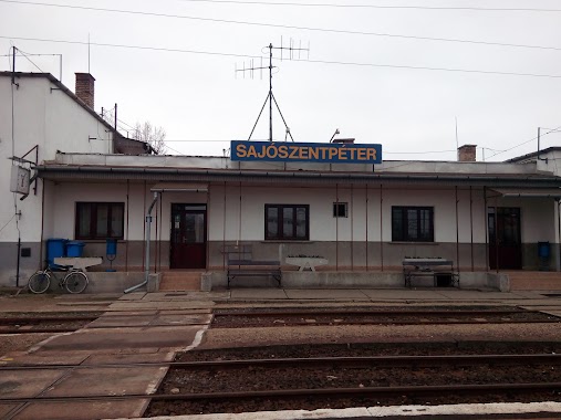
Train station nearby Sajószentpéter
Coronavirus disease (COVID-19) Situation
confirmed cases
2230232
deaths
49048
Hungary
Train station nearby Sajószentpéter
Sajószentpéter
Sajószentpéter, 3770 Hungary
contacts phone
:
+36
Latitude:
48.2222222
, Longitude:
20.7080556
larger map & directions
read more
nearest Train station
1.601 km
Sajószentpéter-Piactér
Hungary
Train station
read more
2.569 km
Berente
Hungary
Train station
read more
5.703 km
Kazincbarcika alsó
Kazincbarcika
Train station
read more
5.914 km
Sajóecseg
Hungary
Train station
read more
6.092 km
Boldva
Hungary
Train station
read more
6.188 km
Borsodszirák
Hungary
Train station
read more
6.323 km
Alsóboldva
Boldva
Train station
read more
7.44 km
Edelény alsó
Edelény
Train station
read more
7.769 km
Sajókeresztúr
Hungary
Train station
read more
10.048 km
Szirmabesenyő
Hungary
Train station
read more
10.871 km
Ortástető
Parasznya
Train station
read more
10.898 km
Sajókaza
Sajóivánka
Train station
read more
12.173 km
Andókút
Varbó
Train station
read more
12.211 km
Mahóca
Varbó
Train station
read more
12.504 km
CHINOIN
Miskolc
Train station
read more
12.715 km
Majláth
Miskolc
Train station
read more
12.852 km
Diósgyőr-Városközpont
Miskolc
Train station
read more
13.22 km
Diósgyőr
Miskolc
Train station
read more
13.585 km
Miskolc-Dorottya utca
Miskolc
Train station
read more
14.062 km
Puskaporos
Miskolc
Train station
read more
14.554 km
Miskolc-Gömöri
Hungary
Train station
read more
14.637 km
Lillafüred
Miskolc
Train station
read more
14.98 km
Újmassa-Őskohó
Miskolc
Train station
read more
15.411 km
Középgaradna
Miskolc
Train station
read more
15.643 km
Miskolc-Tiszai Pályaudvar
Miskolc, Kandó Kálmán tér 1-3
Train station
read more
📑
all categories
Accounting
Administrative area level 1
Administrative area level 2
Airport
Amusement park
Aquarium
Art gallery
Atm
Bakery
Bank
Bar
Beauty salon
Bicycle store
Book store
Bowling alley
Bus station
Cafe
Campground
Car dealer
Car rental
Car repair
Car wash
Casino
Cemetery
Church
City hall
Clothing store
Colloquial area
Convenience store
Country
Courthouse
Dentist
Department store
Doctor
Electrician
Electronics store
Embassy
Finance
Fire station
Florist
Food
Funeral home
Furniture store
Gas station
General contractor
Grocery or supermarket
Gym
Hair care
Hardware store
Health
Hindu Temple
Home goods store
Hospital
Insurance agency
Intersection
Jewelry store
Laundry
Lawyer
Library
Light rail station
Liquor store
Local government office
Locality
Locksmith
Lodging
Meal delivery
Meal takeaway
Mosque
Movie rental
Movie theater
Moving company
Museum
Natural feature
Neighborhood
Night club
Painter
Park
Parking
Pet store
Pharmacy
Physiotherapist
Place of worship
Plumber
Point of interest
Police
Political
Post office
Premise
Real estate agency
Restaurant
Roofing contractor
Route
Rv park, camping
School
Shoe store
Shopping mall
Spa
Stadium
Storage
Store
Subpremise
Subway station
Supermarket
Synagogue
Taxi stand
Train station
Transit station
Travel agency
University
Veterinary care
Zoo
administrative area level 3
sublocality level 1
↑