Store nearby Dohánybolt
Coronavirus disease (COVID-19) Situation
confirmed cases
2230232
deaths
49048
Hungary
Store nearby Dohánybolt
Dohánybolt
Mogyoród, Fóti út 32 Magyarország
contacts phone
:
+36
Latitude:
47.595497
, Longitude:
19.234289
read more
nearest Store
17 m
Tündér-Kert Vegyesbolr
Mogyoród
Store
read more
129 m
COOP ABC
Mogyoród, Mérleg út 3
Store
read more
374 m
Roger Fruit
Mogyoród, Fóti út 10
Store
read more
461 m
Mogyoródi Optika
Mogyoród, Temető út 4
Store
read more
643 m
Állateledel
Mogyoród, Fóti út 3
Store
read more
652 m
TimGa cukrászda
Mogyoród, Dózsa György út 1
Store
read more
727 m
Deko Festèkdiszkont
Mogyoród, Gödöllői út 2
Store
read more
739 m
Pogi Vegyesbolt
Mogyoród, 2146, Gödöllői út 2
Store
read more
887 m
Unibrikett - Fabrikett
Mogyoród, Kerektó utca 8
Store
read more
985 m
Nemzeti Dohánybolt
Mogyoród, Petőfi Sándor út 4
Store
read more
1.684 km
Hírnök Média Bt.
Mogyoród, Nagyhomoki út 10
Store
read more
2.246 km
Thb Kereskedelmi És Szolgáltató Kft.
Fót, Szilvás utca 4
Store
read more
2.636 km
Karkus nurseries and gardening
Fót, Ibolyás utca 1
Store
read more
2.805 km
AIRPRO-KLIMA
Fót, Vörösmarty Mihály utca 11
Store
read more
2.877 km
Vásártéri ABC
Fót, Ferenczy István utca 1
Store
read more
2.915 km
Kiss-Böllér Kft.
Fót, Vörösmarty Mihály tér 9
Store
read more
3.001 km
National tobacco shop
Fót, Vörösmarty Mihály tér 5
Store
read more
3.025 km
Vörösmarty Lottózó
Fót, Vörösmarty Mihály tér 15
Store
read more
3.026 km
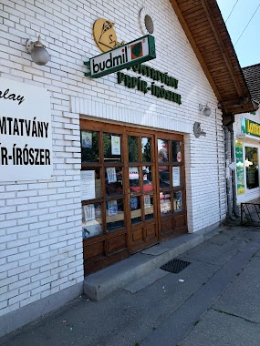
Szalay Nyomtatvány, Papír-Írószer
Fót, Vörösmarty Mihály tér 16
Store
read more
3.477 km
Festék És Csavar Diszkont
Fót, Dózsa György utca 31
Store
read more
3.483 km
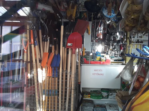
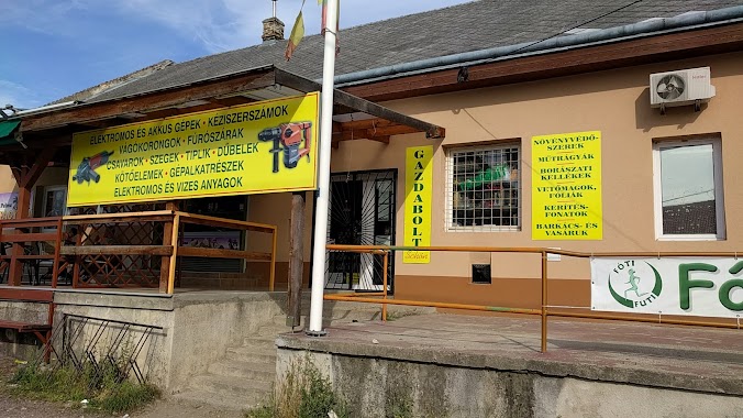
Schön Gazdabolt
Fót, Dózsa György utca 31
Store
read more
3.488 km
Pálma Fagyizó
Fót, Dózsa György utca 31
Store
read more
3.518 km
Nemzeti Dohánybolt Fót
Fót, Dózsa György utca 43
Store
read more
3.526 km
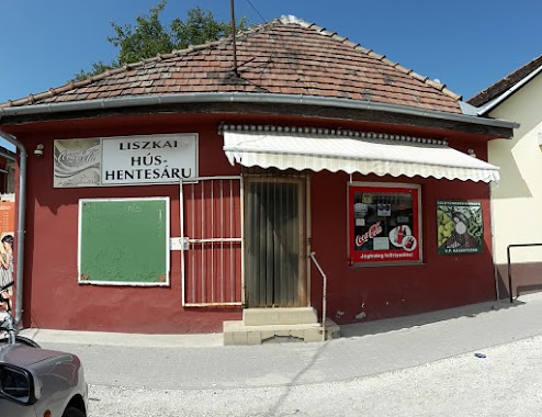
Liszkai Hús És Hentesáru
Fót, Dózsa György utca
Store
read more
3.644 km
National tobacco shop
Kerepes, József Attila utca 51
Store
read more
📑
all categories
Accounting
Administrative area level 1
Administrative area level 2
Airport
Amusement park
Aquarium
Art gallery
Atm
Bakery
Bank
Bar
Beauty salon
Bicycle store
Book store
Bowling alley
Bus station
Cafe
Campground
Car dealer
Car rental
Car repair
Car wash
Casino
Cemetery
Church
City hall
Clothing store
Colloquial area
Convenience store
Country
Courthouse
Dentist
Department store
Doctor
Electrician
Electronics store
Embassy
Finance
Fire station
Florist
Food
Funeral home
Furniture store
Gas station
General contractor
Grocery or supermarket
Gym
Hair care
Hardware store
Health
Hindu Temple
Home goods store
Hospital
Insurance agency
Intersection
Jewelry store
Laundry
Lawyer
Library
Light rail station
Liquor store
Local government office
Locality
Locksmith
Lodging
Meal delivery
Meal takeaway
Mosque
Movie rental
Movie theater
Moving company
Museum
Natural feature
Neighborhood
Night club
Painter
Park
Parking
Pet store
Pharmacy
Physiotherapist
Place of worship
Plumber
Point of interest
Police
Political
Post office
Premise
Real estate agency
Restaurant
Roofing contractor
Route
Rv park, camping
School
Shoe store
Shopping mall
Spa
Stadium
Storage
Store
Subpremise
Subway station
Supermarket
Synagogue
Taxi stand
Train station
Transit station
Travel agency
University
Veterinary care
Zoo
administrative area level 3
sublocality level 1
↑