Parking nearby Parking
Coronavirus disease (COVID-19) Situation
confirmed cases
2230232
deaths
49048
Hungary
Parking nearby Parking
Parking
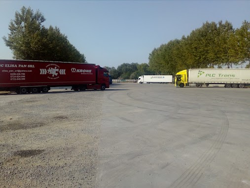
Kecskemét, Hetényi pihenő Ungarn
contacts phone
:
+36
Latitude:
46.9240055
, Longitude:
19.615604
read more
nearest Parking
4.672 km
Megyei kórház parkoló
Kecskemét, Unnamed Road
Parking
read more
5.967 km
Parkoló
Kecskemét, Deák Ferenc tér 6
Parking
read more
30.312 km
DAKK - Busz Garázs
Kiskunfélegyháza, Szentesi út 30
Parking
read more
30.874 km
Parkoló
Cegléd, Kossuth Ferenc utca 10
Parking
read more
31.187 km
Parkoló
Cegléd, Kossuth Ferenc utca 19
Parking
read more
31.252 km
Spar Parkoló
Cegléd, Kossuth Ferenc utca
Parking
read more
31.54 km
Lidl Parkoló
Cegléd, Lidl
Parking
read more
31.542 km
Parkoló
Cegléd, Törteli út
Parking
read more
31.734 km
Garázs ABC
2700 Cegléd, Külső Budai út 43
Parking
read more
31.919 km
Tesco Parkoló
Cegléd, Malomtó szél 20
Parking
read more
46.829 km
Parking
Csengele, 50497
Parking
read more
51.145 km
Jubileumi tér 1 Parking
Vecsés, Jubileumi Tér 1
Parking
read more
51.161 km
Jubileumi tér 4 Parking
Vecsés, Jubileumi Tér 4
Parking
read more
56.429 km
Kali Truck Parking
Alsónémedi, Unnamed Road,
Parking
read more
56.446 km
Kali Truck Parking
Alsónémedi
Parking
read more
58.979 km
Kamion Parkolo
Alsónémedi
Parking
read more
60.974 km
Haraszti Hof
Dunaharaszti, 2330
Parking
read more
60.984 km
TRANSEMEX TIR PARKING
Dunaharaszti, Jedlik Ányos út
Parking
read more
61.825 km
Dunaharaszti P+R Parkoló
Dunaharaszti, Móra Ferenc utca 2
Parking
read more
61.854 km
Parkoló
Jászalsószentgyörgy, Temető utca
Parking
read more
67.11 km
Kerékpár Parkoló
Halásztelek, Ősz utca 5
Parking
read more
67.11 km
Bicycle Parking
Halásztelek, Ősz utca 5
Parking
read more
67.913 km
Parkoló
Halásztelek, Óvoda utca 6
Parking
read more
68.112 km
Kerékpár Parkoló
Halásztelek, Ilona utca 2
Parking
read more
68.934 km
cemetery parking
Halásztelek, Bolgárkertész utca 26
Parking
read more
📑
all categories
Accounting
Administrative area level 1
Administrative area level 2
Airport
Amusement park
Aquarium
Art gallery
Atm
Bakery
Bank
Bar
Beauty salon
Bicycle store
Book store
Bowling alley
Bus station
Cafe
Campground
Car dealer
Car rental
Car repair
Car wash
Casino
Cemetery
Church
City hall
Clothing store
Colloquial area
Convenience store
Country
Courthouse
Dentist
Department store
Doctor
Electrician
Electronics store
Embassy
Finance
Fire station
Florist
Food
Funeral home
Furniture store
Gas station
General contractor
Grocery or supermarket
Gym
Hair care
Hardware store
Health
Hindu Temple
Home goods store
Hospital
Insurance agency
Intersection
Jewelry store
Laundry
Lawyer
Library
Light rail station
Liquor store
Local government office
Locality
Locksmith
Lodging
Meal delivery
Meal takeaway
Mosque
Movie rental
Movie theater
Moving company
Museum
Natural feature
Neighborhood
Night club
Painter
Park
Parking
Pet store
Pharmacy
Physiotherapist
Place of worship
Plumber
Point of interest
Police
Political
Post office
Premise
Real estate agency
Restaurant
Roofing contractor
Route
Rv park, camping
School
Shoe store
Shopping mall
Spa
Stadium
Storage
Store
Subpremise
Subway station
Supermarket
Synagogue
Taxi stand
Train station
Transit station
Travel agency
University
Veterinary care
Zoo
administrative area level 3
sublocality level 1
↑