Park nearby Templomkert
Hungary
Park nearby Templomkert
Templomkert
Budapest, Máriaremetei út Magyarország
contacts phone
:
+36
Latitude:
47.5612544
, Longitude:
18.9465556
read more
nearest Park
676 m
Pesthidegkúti Mozgássérült Lakótelep
Budapest, Len utca 17b
Park
read more
1.321 km
Mosbach park
II. kerület
Park
read more
1.37 km
Mosbach Park
Budapest, Mosbach park
Park
read more
1.408 km
Örkény István emlék-telefonfülke
Vénusz utca 6., 2090 Remeteszőlős, Magyarország
Park
read more
2.166 km
Kertépítés, füvesítés, öntözőrendszerek - Hidrovetés Kft.
Remeteszőlős, Cinke utca 2
Park
read more
2.24 km
Solymári sziklák a Paprikás patak mellett
Solymár
Park
read more
2.245 km
Hűvösvölgyi Nagyrét
Budapest
Park
read more
2.309 km
Bánffy György emlékpark
II. kerület
Park
read more
2.393 km
Rózsika source, Solymar
Solymár
Park
read more
2.393 km
Rózsika spring, Solymar
Solymár
Park
read more
2.393 km
Rózsika-forrás, Solymár
Solymár
Park
read more
2.394 km
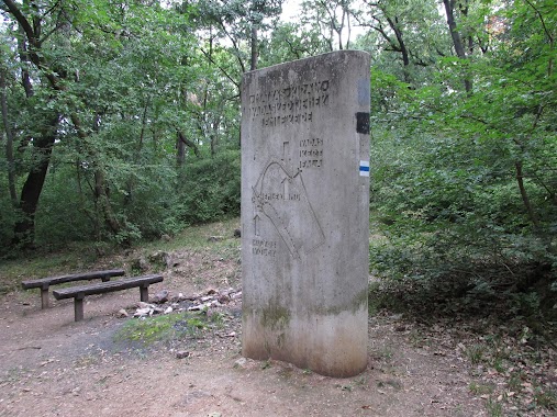
Kremzer Ferenc emlékhely
Solymár
Park
read more
2.643 km
Hűvösvölgy, Gyermekvasút
Budapest
Park
read more
3.191 km
Mátyás király vadaskertje
Budapest, Glück Frigyes út
Park
read more
3.321 km
Határnyereg
Budapest, Glück Frigyes út
Park
read more
3.852 km
Mátyás Király Kertje
Budapest
Park
read more
3.893 km
Pilisi Parkerdő Zrt.
Budapest, Budakeszi út 91
Park
read more
3.894 km
Bernatlights
Budapest, Kálvária sétány 59
Park
read more
3.973 km
Guckler Károly Kilátópont
Budapest, Hármashatárhegyi út 3
Park
read more
4.048 km
Libanoni Cédrus
Budapest, Kondor út 5
Park
read more
4.237 km
Tersztyánszky Ödön Emlékmű
Solymár, Ifjúság utca 2
Park
read more
4.432 km
Teleki–Tisza-kastély Nagykovácsi
Nagykovácsi, Kossuth Lajos utca 2
Park
read more
4.653 km
Kéktúra Pecsételőhely
Nagykovácsi, Muflon utca 20
Park
read more
5.091 km
Etheles park
Budakeszi
Park
read more
5.563 km
Bányász Emlékmű
Pilisszentiván
Park
read more
📑
all categories
Accounting
Administrative area level 1
Administrative area level 2
Airport
Amusement park
Aquarium
Art gallery
Atm
Bakery
Bank
Bar
Beauty salon
Bicycle store
Book store
Bowling alley
Bus station
Cafe
Campground
Car dealer
Car rental
Car repair
Car wash
Casino
Cemetery
Church
City hall
Clothing store
Colloquial area
Convenience store
Country
Courthouse
Dentist
Department store
Doctor
Electrician
Electronics store
Embassy
Finance
Fire station
Florist
Food
Funeral home
Furniture store
Gas station
General contractor
Grocery or supermarket
Gym
Hair care
Hardware store
Health
Hindu Temple
Home goods store
Hospital
Insurance agency
Intersection
Jewelry store
Laundry
Lawyer
Library
Light rail station
Liquor store
Local government office
Locality
Locksmith
Lodging
Meal delivery
Meal takeaway
Mosque
Movie rental
Movie theater
Moving company
Museum
Natural feature
Neighborhood
Night club
Painter
Park
Parking
Pet store
Pharmacy
Physiotherapist
Place of worship
Plumber
Point of interest
Police
Political
Post office
Premise
Real estate agency
Restaurant
Roofing contractor
Route
Rv park, camping
School
Shoe store
Shopping mall
Spa
Stadium
Storage
Store
Subpremise
Subway station
Supermarket
Synagogue
Taxi stand
Train station
Transit station
Travel agency
University
Veterinary care
Zoo
administrative area level 3
sublocality level 1
↑